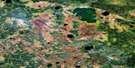
Bigstone Lake Satellite Image Map
Download Free Aerial Photo 053E12 at 1:50,000 scale
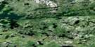
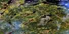
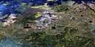
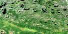
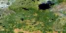
Bigstone Lake Satellite Imagery
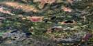
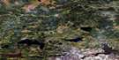
To view this satellite map, mouse over the air photo on the right.
You can also download this satellite image map for free:
053E12 Bigstone Lake high-resolution satellite image map.
Maps for the Bigstone Lake aerial map sheet 053E12 at 1:50,000 scale are also available in these versions:
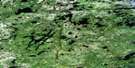
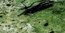
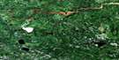
Bigstone Lake Surrounding Area Aerial Photo Maps
 |
 |
 |
 |
 |
 |
 |
 |
 |
 |
 |
 |
 |
 |
 |
 |
© Department of Natural Resources Canada. All rights reserved.
Bigstone Lake Gazetteer
The following places can be found on satellite image map 053E12 Bigstone Lake:
Bigstone Lake Satellite Image: Bays
Long BayReahil Bay
Bigstone Lake Satellite Image: Channels
Wapatinasing NarrowsBigstone Lake Satellite Image: Indian Reserves
NaytawunkankBigstone Lake Satellite Image: Islands
Symes IslandBigstone Lake Satellite Image: Lakes
Bigstone LakeKnight Lake
Mahingun Lake
Namaykos Lake
Otter Stomach Lake
Pakwanchi Lake
Wapus Lake
Bigstone Lake Satellite Image: Rivers
Asikus CreekMosawgun River
Oseepapkosik River
Pansowan Creek
Bigstone Lake Satellite Image: Road features
Otter PortageBigstone Lake Satellite Image: Low vegetation
Frond Marsh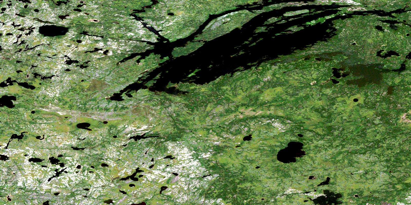
© Department of Natural Resources Canada. All rights reserved.
053E Related Maps:
053E Island Lake053E01 Varveclay Lake
053E02 Gorman Lake
053E03 Lily Pad Lake
053E04 Hudwin Lake
053E05 Namaykosogun Lake
053E06 Cantin Lake
053E07 No Title
053E08 Oasis Lake
053E09 Benson Bay
053E10E Wapus Bay
053E10W Wapus Bay
053E11 Wass Lake
053E12 Bigstone Lake
053E13 Kakinokamak Lake
053E14 Dobbs Lake
053E15 Island Lake
053E16 York Lake
