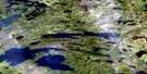
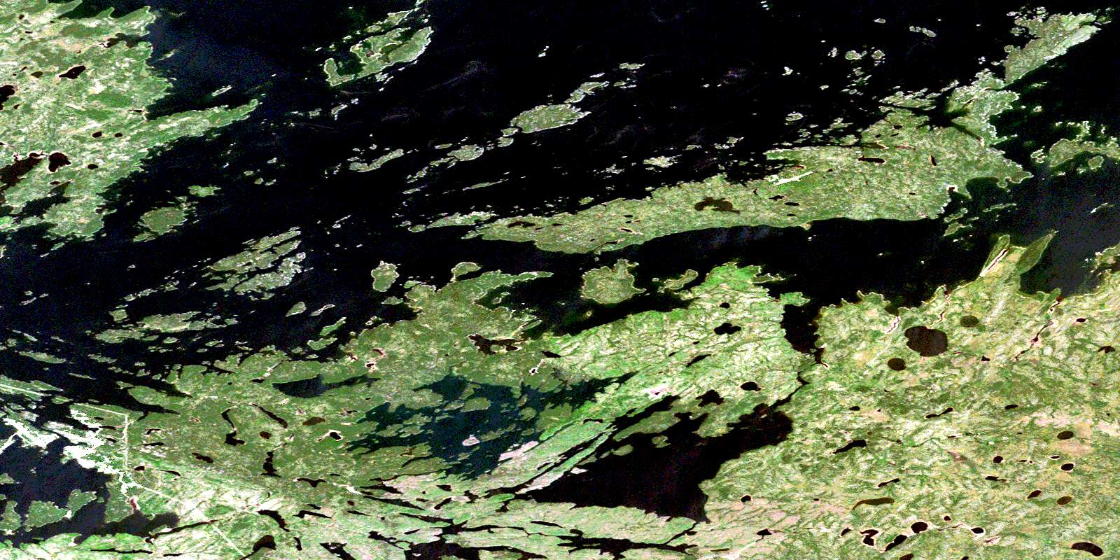
Gods Lake Satellite Image Map
Download Free Aerial Photo 053L09 at 1:50,000 scale
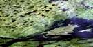
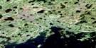
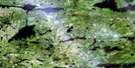
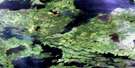
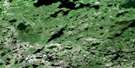
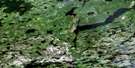
Gods Lake Satellite Imagery
To view this satellite map, mouse over the air photo on the right.
You can also download this satellite image map for free:
053L09 Gods Lake high-resolution satellite image map.
Maps for the Gods Lake aerial map sheet 053L09 at 1:50,000 scale are also available in these versions:
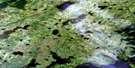
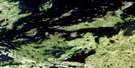
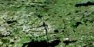
Gods Lake Surrounding Area Aerial Photo Maps
 |
 |
 |
 |
 |
 |
 |
 |
 |
 |
 |
 |
 |
 |
 |
 |
© Department of Natural Resources Canada. All rights reserved.
Gods Lake Gazetteer
The following places can be found on satellite image map 053L09 Gods Lake:
Gods Lake Satellite Image: Bays
Brown BayPalmer Bay
Smelter Bay
Gods Lake Satellite Image: Capes
Kichenaonan PointNiawaka Point
Gods Lake Satellite Image: Channels
Mokomani NarrowsGods Lake Satellite Image: Indian Reserves
Chataway Lake/Knife LakeGod's Lake 23
Gods Lake Satellite Image: Islands
Billys Hole IslandBray Island
Captains Island
Carl Island
Elk Island
Emerald Island
Green Island
High Island
Jowsey Island
Machonakos Islands
McLaren Island
Paskochi Island
Tower Island
Wapooskoweenik Island
Gods Lake Satellite Image: Lakes
Chataway LakeElb Lake
Gods Lake
Hopkins Lake
Knife Lake
Margaret Lake
Reno Lake
Gods Lake Satellite Image: Rapids
Mokomani RapidsGods Lake Satellite Image: Rivers
Knife RiverMary James Creek
Gods Lake Satellite Image: Road features
Wuchusk PortageGods Lake Satellite Image: Unincorporated areas
Gods LakeGods Lake Narrows
© Department of Natural Resources Canada. All rights reserved.
053L Related Maps:
053L Oxford House053L01 Mistuhe Lake
053L02 Kakeenukamak Lake
053L03 Opom Lake
053L04 Nikik Lake
053L05 Bolton Lake
053L06 Joint Lake
053L07 Kanuchuan Rapids
053L08 Murray Lake
053L09 Gods Lake
053L10 Vermilyea Lake
053L11 Munro Lake
053L12 Windy Lake
053L13 Carghill Island
053L14 Oxford House
053L15 Knee Lake
053L16 Mcivor Lake
