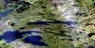
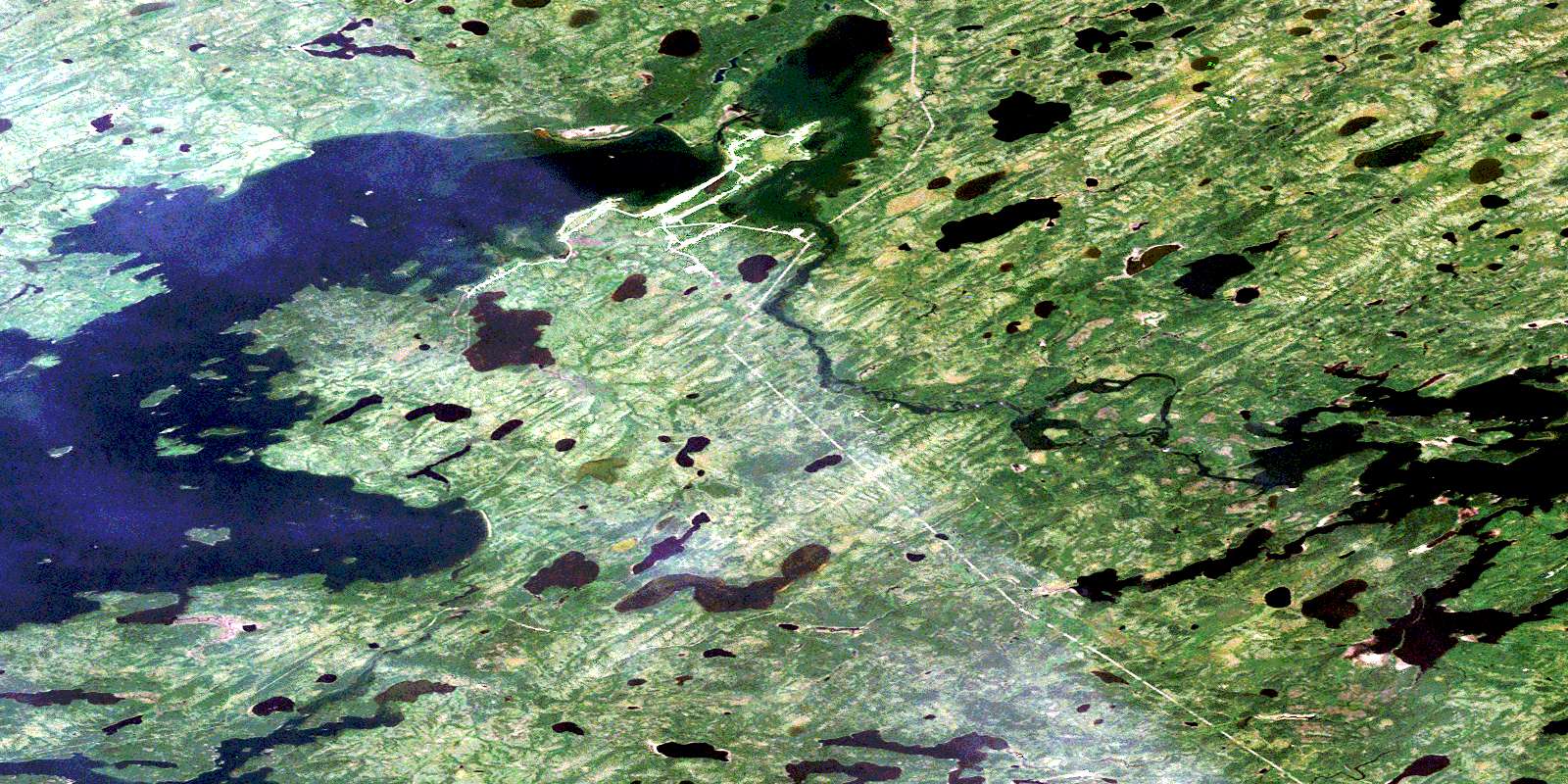
Oxford House Satellite Image Map
Download Free Aerial Photo 053L14 at 1:50,000 scale
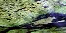
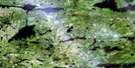
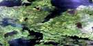
Oxford House Satellite Imagery
To view this satellite map, mouse over the air photo on the right.
You can also download this satellite image map for free:
053L14 Oxford House high-resolution satellite image map.
Maps for the Oxford House aerial map sheet 053L14 at 1:50,000 scale are also available in these versions:
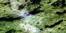
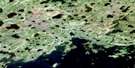
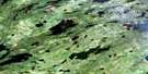
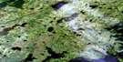
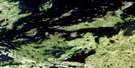
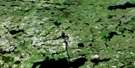
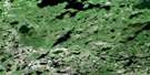
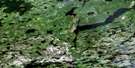
Oxford House Surrounding Area Aerial Photo Maps
 |
 |
 |
 |
 |
 |
 |
 |
 |
 |
 |
 |
 |
 |
 |
 |
© Department of Natural Resources Canada. All rights reserved.
Oxford House Gazetteer
The following places can be found on satellite image map 053L14 Oxford House:
Oxford House Satellite Image: Bays
Jackson BayKasakahikanapiak Bay
Opapuskitew Bay
Oxford Inlet
Semple Bay
Oxford House Satellite Image: Capes
Eight Mile PointEightmile Point
Forestry Point
Hyers Point
Wapanakow Point
Oxford House Satellite Image: Channels
Michiskun NarrowsOpapiskak Narrows
Opawakow Narrows
Wapow Narrows
Oxford House Satellite Image: Falls
Trout FallsOxford House Satellite Image: Indian Reserves
Oxford House 24Oxford Lake North Shore
Wapisew Lake
Oxford House Satellite Image: Islands
Birch IslandOxford House Satellite Image: Lakes
Back LakeKamistahiatikamekoskak Lake
Kanochaskoswatek Lake
Kawakikamasik Lake
Knee Lake
McLaughlin Lake
Michikanes Lake
Michikinabish Lake
Mistuhe Lake
Mukataysip Lake
Oxford Lake
Sandy Lake
Stubbs Lake
Wapaskosowakow Lakes
Wapatakosanik Lake
Wapawakowsansees Lake
Wapisew Lake
Oxford House Satellite Image: Rapids
Kawapiskachowasik RapidsKawepinikateekopasow Rapids
Kiasamekamik Rapids
Kiasokanowak Rapids
Knife Rapids
Wapatakosanik Rapids
Oxford House Satellite Image: Rivers
Hayes RiverKapakiskok River
Kiasokanowak Creek
Laidlaw Creek
Magill Creek
Semple River
Wapatakosanik River
Oxford House Satellite Image: Unincorporated areas
Oxford HousePakitahokansik
© Department of Natural Resources Canada. All rights reserved.
053L Related Maps:
053L Oxford House053L01 Mistuhe Lake
053L02 Kakeenukamak Lake
053L03 Opom Lake
053L04 Nikik Lake
053L05 Bolton Lake
053L06 Joint Lake
053L07 Kanuchuan Rapids
053L08 Murray Lake
053L09 Gods Lake
053L10 Vermilyea Lake
053L11 Munro Lake
053L12 Windy Lake
053L13 Carghill Island
053L14 Oxford House
053L15 Knee Lake
053L16 Mcivor Lake
