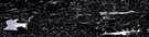
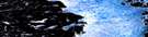
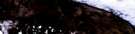
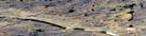
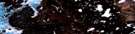
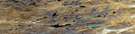
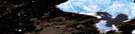
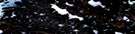
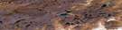
Cameron Lake Satellite Image Map
Download Free Aerial Photo 057A02 at 1:50,000 scale
Cameron Lake Satellite Imagery
To view this satellite map, mouse over the air photo on the right.
You can also download this satellite image map for free:
057A02 Cameron Lake high-resolution satellite image map.
Maps for the Cameron Lake aerial map sheet 057A02 at 1:50,000 scale are also available in these versions:
Cameron Lake Surrounding Area Aerial Photo Maps
 |
 |
 |
 |
 |
 |
 |
 |
 |
 |
 |
 |
 |
 |
 |
 |
© Department of Natural Resources Canada. All rights reserved.
Cameron Lake Gazetteer
The following places can be found on satellite image map 057A02 Cameron Lake:
Cameron Lake Satellite Image: Capes
Maqqaq PointQikiqtaujaq Peninsula
Simpson Peninsula
Cameron Lake Satellite Image: Channels
Quunnguarjuk NarrowsCameron Lake Satellite Image: Lakes
Amaartok LakeCameron Lake
Iqalutsiarvik Lake
Kangutalik Lake
Nalluq Lake
Naujaarjuit Lake
Qajauvik Lake
Qajuutiksat Lake
Tunnuutiqaruuatuuq Lake
Tutjaaraarjuk Lake
Cameron Lake Satellite Image: Mountains
Ikiturumatuuq HillNiaquptagjuaq Hill
Niaqurnaq Hill
Cameron Lake Satellite Image: Rivers
Atorquait RiverAvalikuarjuk River
Kellett River
Nurraqsiurvik River
Utaqqiviarut Creek
Cameron Lake Satellite Image: River features
Piqqiq BendCameron Lake Satellite Image: Valleys
Natirngnarjuaq Valley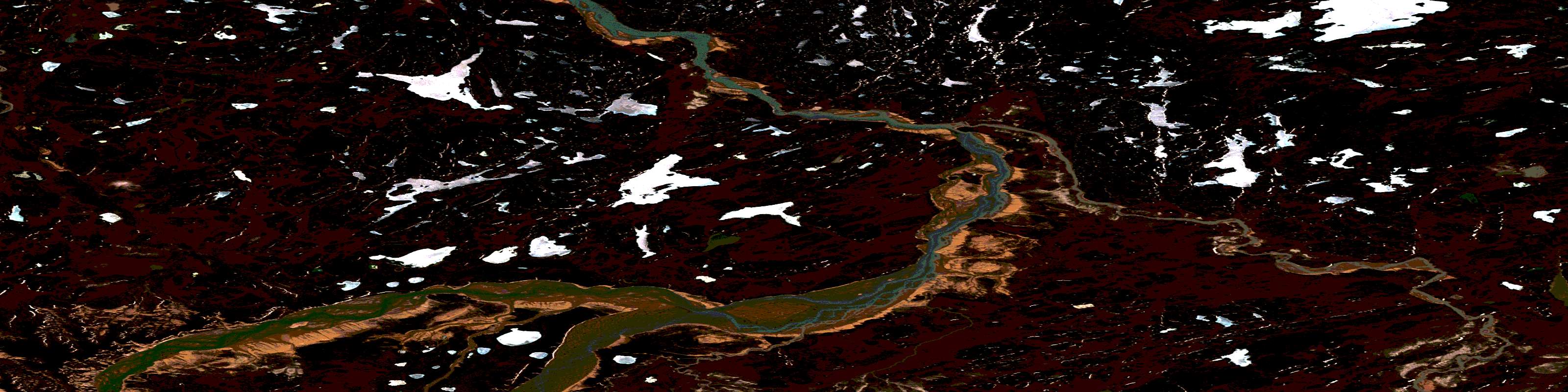
© Department of Natural Resources Canada. All rights reserved.
057A Related Maps:
057A Pelly Bay057A01 Mount Mactavish
057A02 Cameron Lake
057A03 No Title
057A04 No Title
057A05 No Title
057A06 De Stael Point
057A07 Barrow Lake
057A08 Keith Bay
057A09 No Title
057A10 Login Bay
057A11 Becher River
057A12 Euphemia Hill
057A13 Burwash Lake
057A14 No Title
057A15 No Title
057A16 No Title
