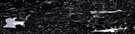
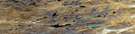
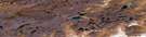
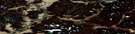
Barrow Lake Satellite Image Map
Download Free Aerial Photo 057A07 at 1:50,000 scale
Barrow Lake Satellite Imagery
To view this satellite map, mouse over the air photo on the right.
You can also download this satellite image map for free:
057A07 Barrow Lake high-resolution satellite image map.
Maps for the Barrow Lake aerial map sheet 057A07 at 1:50,000 scale are also available in these versions:
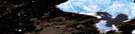
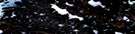
Barrow Lake Surrounding Area Aerial Photo Maps
 |
 |
 |
 |
 |
 |
 |
 |
 |
 |
 |
 |
 |
 |
 |
 |
© Department of Natural Resources Canada. All rights reserved.
Barrow Lake Gazetteer
The following places can be found on satellite image map 057A07 Barrow Lake:
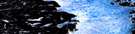
Barrow Lake Satellite Image: Bays
Angujaaqturvik BayGulf of Boothia
Hillitiksarvik Bay
Iqimalitaq Bay
Pelly Bay
St. Peter Bay
Barrow Lake Satellite Image: Capes
Simpson PeninsulaTikirarjuaq Point
Tikirarjuaraarjuk Point
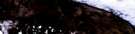
Barrow Lake Satellite Image: Cliffs
Nakturaliktalik CliffUlukaummavik Cliff
Barrow Lake Satellite Image: Islands
Haalruq IslandIglulik Island
Kiniktuq Island
Barrow Lake Satellite Image: Lakes
Alliarusiq LakeAmaartok Lake
Atanirsliq Lake
Barrow Lake
Isuqtuarjuk Lake
Isuqtunajuk Lake
Isuqtuq Lake
Itigulik Lake
Nalluarjuk Lake
Nalluut Lake
Naujaarjuit Lake
Naulingniarvigjuaq Lake
Qajaqtugausuittuq Lake
Qatsiktuarjuk Lake
Qatsiktuk Lakes
Tunngavik Lake
Tutjaaq Lake
Tutjaaraarjuk Lake
Barrow Lake Satellite Image: Mountains
Parke HillsPrince Philip Heights
Pualutalik Hill
Qiluqsluk Hill
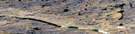
Barrow Lake Satellite Image: Rivers
Alliarusiq RiverAtanirsliq Creek
Atanirsliq Inlet
Isuqtuq River
Kellett River
Naujaarjuit River
Naulingniarvigjuaq River
Utaqqiviarut Creek
Barrow Lake Satellite Image: River features
Matsuq Bend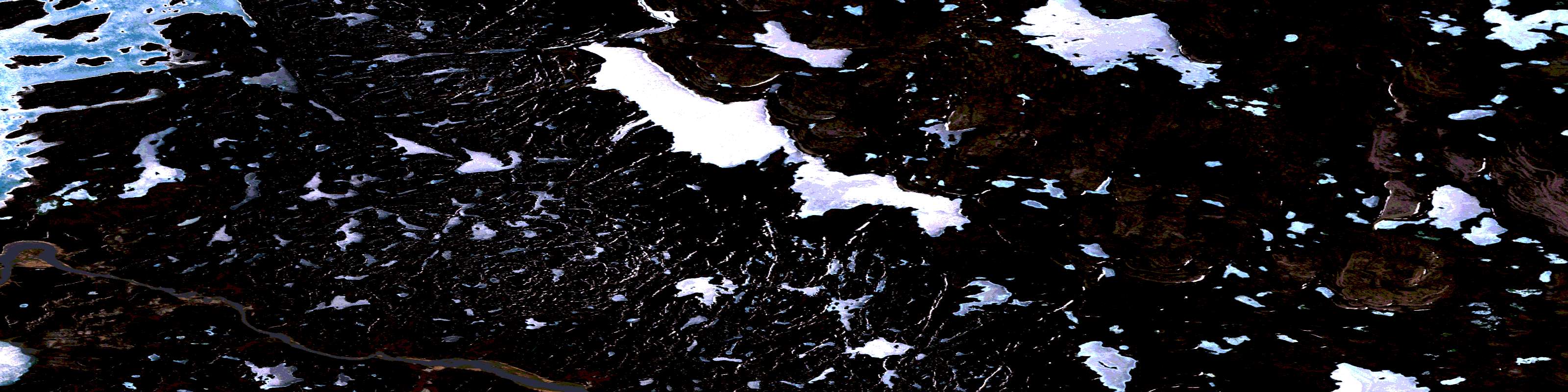
© Department of Natural Resources Canada. All rights reserved.
057A Related Maps:
057A Pelly Bay057A01 Mount Mactavish
057A02 Cameron Lake
057A03 No Title
057A04 No Title
057A05 No Title
057A06 De Stael Point
057A07 Barrow Lake
057A08 Keith Bay
057A09 No Title
057A10 Login Bay
057A11 Becher River
057A12 Euphemia Hill
057A13 Burwash Lake
057A14 No Title
057A15 No Title
057A16 No Title
