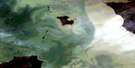
Bull Lake Satellite Image Map
Download Free Aerial Photo 063A10 at 1:50,000 scale
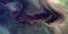
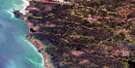
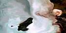
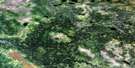
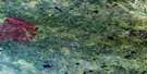
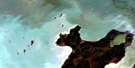
Bull Lake Satellite Imagery
To view this satellite map, mouse over the air photo on the right.
You can also download this satellite image map for free:
063A10 Bull Lake high-resolution satellite image map.
Maps for the Bull Lake aerial map sheet 063A10 at 1:50,000 scale are also available in these versions:
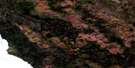
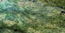
Bull Lake Surrounding Area Aerial Photo Maps
 |
 |
 |
 |
 |
 |
 |
|
 |
 |
 |
 |
 |
 |
 |
 |
© Department of Natural Resources Canada. All rights reserved.
Bull Lake Gazetteer
The following places can be found on satellite image map 063A10 Bull Lake:
Bull Lake Satellite Image: Falls
Paskisekun FallsBull Lake Satellite Image: Lakes
Asenchekonak LakeBig Rock Lake
Black Fox Lake
Boggy Lake
Bull Lake
Circle Lake
Eating Lake
First Lake
Frog Lake
Greenwood Lake
Gun Lake
Kakeyaskosekak Lakes
Kanasosaykin Lakes
Lichen Lake
Many Bays Lake
Many Island Lake
Manyisland Lake
Multi-island Lake
Musk Lake
Pamatakakowin Lake
Raven Lake
Reef Lake
Ricey Lake
Schaschakaywayan Lake
Sekak Lake
Skin Lake
Stag Lake
Swain Lake
Weaver Lake
Bull Lake Satellite Image: Mountains
Pinaseway HillBull Lake Satellite Image: Rapids
Gun RapidsKiespak Rapids
Bull Lake Satellite Image: Rivers
Atonikamiko CreekGun Creek
Leaf River
Makokowan Creek
Matawan Creek
Ochechak Creek
Paskisekun Creek
Pinasewapik Creek
Poplar River
South Leaf River
Bull Lake Satellite Image: Unincorporated areas
Opekamank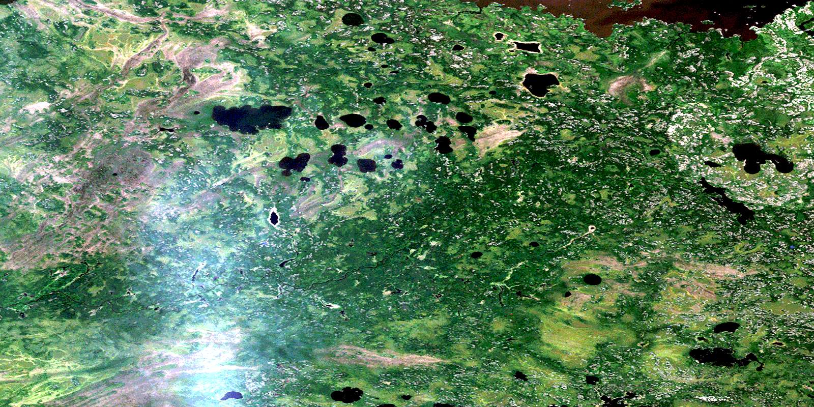
© Department of Natural Resources Canada. All rights reserved.
063A Related Maps:
063A Berens River063A01 Short Lake
063A02 Catfish Lake
063A03 Commissioner Island
063A04 Lynx Bay
063A05 Johnsons Harbour
063A06 Berens River
063A07 Seventeen Mile Lake
063A08 One Hole Lake
063A09 Wrong Lake
063A10 Bull Lake
063A11 Mossy Point
063A13 George Island
063A14 Marchand Creek
063A15 Pickerel Bay
063A16 Wekinna Lake
