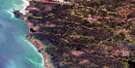
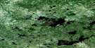
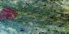
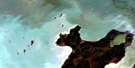
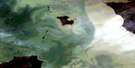
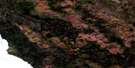
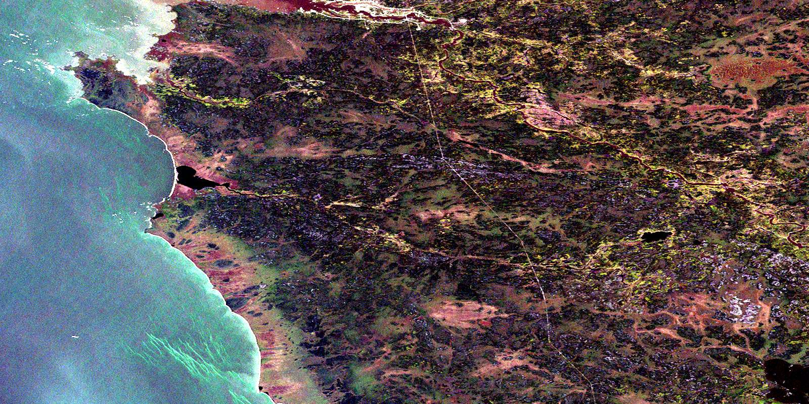
Marchand Creek Satellite Image Map
Download Free Aerial Photo 063A14 at 1:50,000 scale
Marchand Creek Satellite Imagery
To view this satellite map, mouse over the air photo on the right.
You can also download this satellite image map for free:
063A14 Marchand Creek high-resolution satellite image map.
Maps for the Marchand Creek aerial map sheet 063A14 at 1:50,000 scale are also available in these versions:
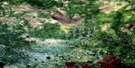
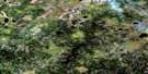
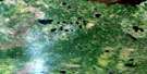
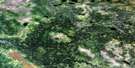
Marchand Creek Surrounding Area Aerial Photo Maps
 |
 |
 |
 |
 |
 |
 |
|
 |
 |
 |
 |
 |
 |
 |
 |
© Department of Natural Resources Canada. All rights reserved.
Marchand Creek Gazetteer
The following places can be found on satellite image map 063A14 Marchand Creek:
Marchand Creek Satellite Image: Capes
Big Stone PointMarchand Point
Poplar Point
Marchand Creek Satellite Image: Falls
Onakuyam FallsOnakuyamis Falls
Wapinnonik Falls
Marchand Creek Satellite Image: Indian Reserves
Poplar River 16Marchand Creek Satellite Image: Lakes
Lac WinnipegLake Winnipeg
Many Bays Lake
Marchand Lake
Marchand Creek Satellite Image: Rapids
Kawawakechewonk RapidsNantuko Rapids
Pinasuwapekus Rapids
Marchand Creek Satellite Image: Rivers
Kapawekapuk CreekMarchand Creek
North Poplar River
Okeskimunnese Creek
Poplar River
Marchand Creek Satellite Image: Unincorporated areas
NegginanPoplar River
Poplarville
© Department of Natural Resources Canada. All rights reserved.
063A Related Maps:
063A Berens River063A01 Short Lake
063A02 Catfish Lake
063A03 Commissioner Island
063A04 Lynx Bay
063A05 Johnsons Harbour
063A06 Berens River
063A07 Seventeen Mile Lake
063A08 One Hole Lake
063A09 Wrong Lake
063A10 Bull Lake
063A11 Mossy Point
063A13 George Island
063A14 Marchand Creek
063A15 Pickerel Bay
063A16 Wekinna Lake
