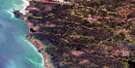
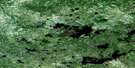
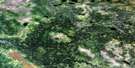
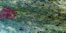
Wrong Lake Satellite Image Map
Download Free Aerial Photo 063A09 at 1:50,000 scale
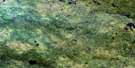
Wrong Lake Satellite Imagery
To view this satellite map, mouse over the air photo on the right.
You can also download this satellite image map for free:
063A09 Wrong Lake high-resolution satellite image map.
Maps for the Wrong Lake aerial map sheet 063A09 at 1:50,000 scale are also available in these versions:
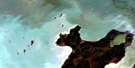
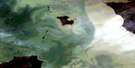
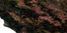
Wrong Lake Surrounding Area Aerial Photo Maps
 |
 |
 |
 |
 |
 |
 |
|
 |
 |
 |
 |
 |
 |
 |
 |
© Department of Natural Resources Canada. All rights reserved.
Wrong Lake Gazetteer
The following places can be found on satellite image map 063A09 Wrong Lake:
Wrong Lake Satellite Image: Bays
Makopeemakakaywin BayWrong Lake Satellite Image: Lakes
Big Raven LakeBighorn Lake
Eardley Lake
Harrop Lake
Head Leaf Lake
Kachekapikitekwak Lake
Kako Lake
Kapasakanikak Lake
Kapekun Lake
Kasakwaykamak Lake
Kawootullibekak Lake
Lac Coude
Lion Lake
Mimiow Lake
Nikik Lake
Sakwasew Lake
Sigfusson Lake
Weaver Lake
Wrong Lake
Wrong Lake Satellite Image: Rapids
Akik RapidsKacheekokumuk Rapids
Kaminopikak Rapids
Kawpeetatchuwunak Rapids
Kawtootookuk Rapids
Kinaypik Rapids
Kinkokay Rapids
Munchoosi Rapids
Peenchipoonakun Rapids
Pinasewapik Rapids
Pisew Rapids
Sakitow Rapids
Wakusminakuna Rapids
Wathintayappikowin Rapids
Wrong Lake Satellite Image: Rivers
Assinika RiverGilchrist Creek
Kachekapikitekwak Creek
Kakaki Creek
Kawpunuskapiskitcheewuk Creek
Leaf River
McPhail River
Miskawtay Creek
Ochekopemakewin Creek
Okomineekan Creek
Poplar River
Sepastik Creek
Wrong Lake Satellite Image: Road features
Kischewenekum Portage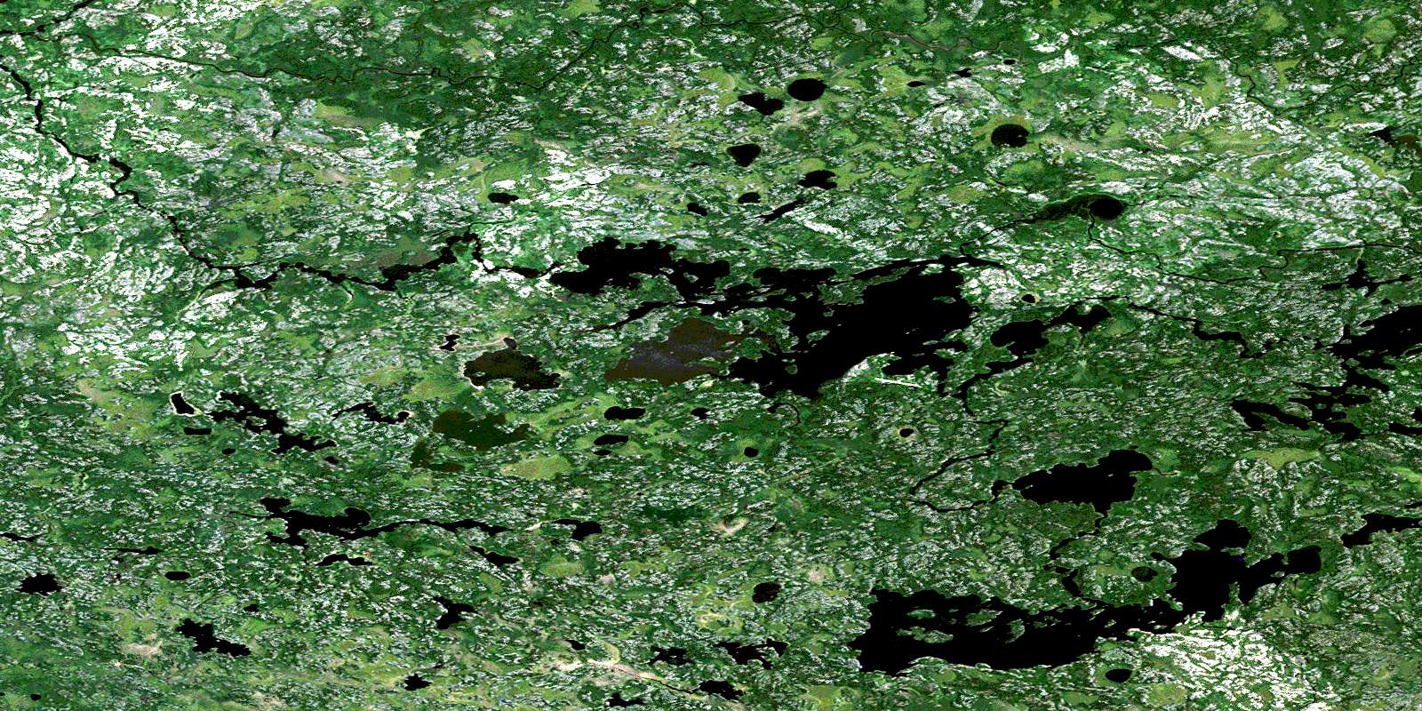
© Department of Natural Resources Canada. All rights reserved.
063A Related Maps:
063A Berens River063A01 Short Lake
063A02 Catfish Lake
063A03 Commissioner Island
063A04 Lynx Bay
063A05 Johnsons Harbour
063A06 Berens River
063A07 Seventeen Mile Lake
063A08 One Hole Lake
063A09 Wrong Lake
063A10 Bull Lake
063A11 Mossy Point
063A13 George Island
063A14 Marchand Creek
063A15 Pickerel Bay
063A16 Wekinna Lake
