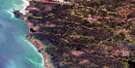
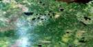
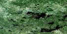
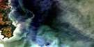
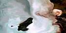
Lynx Bay Satellite Image Map
Download Free Aerial Photo 063A04 at 1:50,000 scale
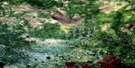
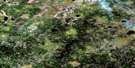
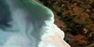
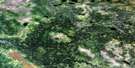
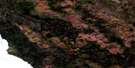
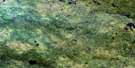
Lynx Bay Satellite Imagery
To view this satellite map, mouse over the air photo on the right.
You can also download this satellite image map for free:
063A04 Lynx Bay high-resolution satellite image map.
Maps for the Lynx Bay aerial map sheet 063A04 at 1:50,000 scale are also available in these versions:
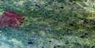
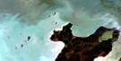
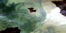
Lynx Bay Surrounding Area Aerial Photo Maps
 |
 |
 |
 |
 |
 |
 |
|
 |
 |
 |
 |
 |
 |
 |
 |
© Department of Natural Resources Canada. All rights reserved.
Lynx Bay Gazetteer
The following places can be found on satellite image map 063A04 Lynx Bay:
Lynx Bay Satellite Image: Bays
Bushkega BayKinwow Bay
Lynx Bay
Lynx Harbour
Sturgeon Bay
Wigwam Bay
Lynx Bay Satellite Image: Capes
Bad PointBushkega Point
Cat Head
Lynx Point
McBeth Point
Outer Sand Point
Saskatchewan Point
Turnagain Point
Wigwam Point
Lynx Bay Satellite Image: Islands
Bad IslandCochrane Island
Dahls Island
Inner Sturgeon Island
Little Sturgeon Island
Round Island
Sturgeon Islands
Tree Island
Lynx Bay Satellite Image: Lakes
Black Moss LakeLac Winnipeg
Lake Winnipeg
McBeth Lake
Lynx Bay Satellite Image: Rivers
Black Moss CreekHiding Creek
Lynx Creek
Wigwam Creek
Lynx Bay Satellite Image: Shoals
West Crowduck Reef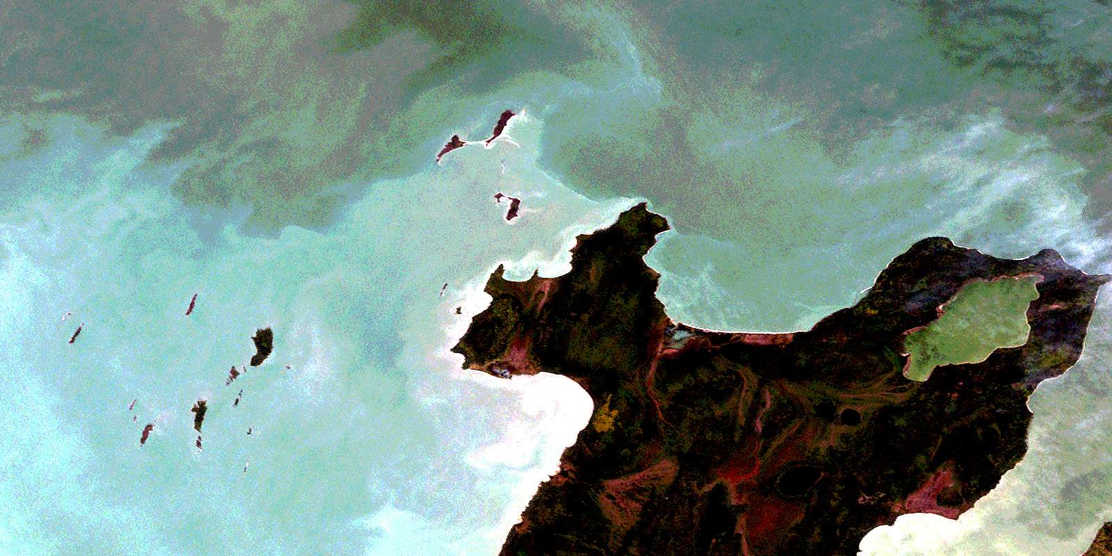
© Department of Natural Resources Canada. All rights reserved.
063A Related Maps:
063A Berens River063A01 Short Lake
063A02 Catfish Lake
063A03 Commissioner Island
063A04 Lynx Bay
063A05 Johnsons Harbour
063A06 Berens River
063A07 Seventeen Mile Lake
063A08 One Hole Lake
063A09 Wrong Lake
063A10 Bull Lake
063A11 Mossy Point
063A13 George Island
063A14 Marchand Creek
063A15 Pickerel Bay
063A16 Wekinna Lake
