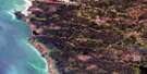
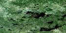
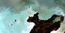
Berens River Satellite Image Map
Download Free Aerial Photo 063A06 at 1:50,000 scale
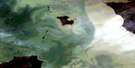
Berens River Satellite Imagery
To view this satellite map, mouse over the air photo on the right.
You can also download this satellite image map for free:
063A06 Berens River high-resolution satellite image map.
Maps for the Berens River aerial map sheet 063A06 at 1:50,000 scale are also available in these versions:
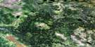
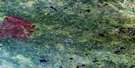
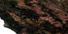
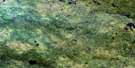
Berens River Surrounding Area Aerial Photo Maps
 |
 |
 |
 |
 |
 |
 |
|
 |
 |
 |
 |
 |
 |
 |
 |
© Department of Natural Resources Canada. All rights reserved.
Berens River Gazetteer
The following places can be found on satellite image map 063A06 Berens River:
Berens River Satellite Image: Bays
Paterson BayPigeon Bay
Swampy Harbour
Berens River Satellite Image: Capes
Disbrowe PointDisbrowe Point (Sandy Bar)
Flathead Point
Kasepaskisewekak Point
MacKenzie Point
Moar Point
Omimisepe Point
Sandy Bar
Schuetze Point
Stevens Point
Stewart Point
Berens River Satellite Image: Cliffs
Berens BankBerens River Satellite Image: Indian Reserves
Berens River 13Pigeon River 13A
Berens River Satellite Image: Islands
Berens IslandBurtonIsland
Cox Island
Douglas Island
Joe Alex Island
Magnusson Island
Pelican Island
Putnam Island
Sheep Island
Sigurdsson Island
Berens River Satellite Image: Lakes
Lac WinnipegLake Winnipeg
Berens River Satellite Image: Rivers
Berens RiverCanoe Making Creek
Berens River Satellite Image: Shoals
Barrel RockCox Reef
Kemp Rock
Neddrie Reef
Pollock Shoal
Pollock Shoals
Schuetze Reef
Berens River Satellite Image: Unincorporated areas
Berens River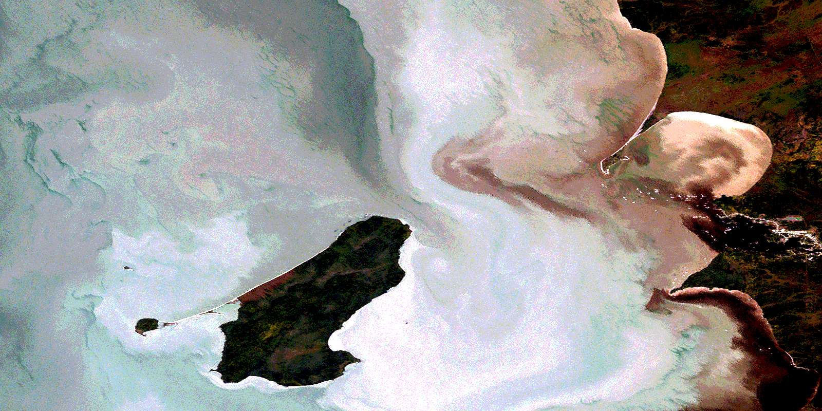
© Department of Natural Resources Canada. All rights reserved.
063A Related Maps:
063A Berens River063A01 Short Lake
063A02 Catfish Lake
063A03 Commissioner Island
063A04 Lynx Bay
063A05 Johnsons Harbour
063A06 Berens River
063A07 Seventeen Mile Lake
063A08 One Hole Lake
063A09 Wrong Lake
063A10 Bull Lake
063A11 Mossy Point
063A13 George Island
063A14 Marchand Creek
063A15 Pickerel Bay
063A16 Wekinna Lake
