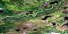
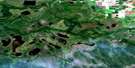
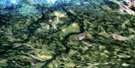
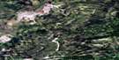
Culdesac Lake Satellite Image Map
Download Free Aerial Photo 063F12 at 1:50,000 scale
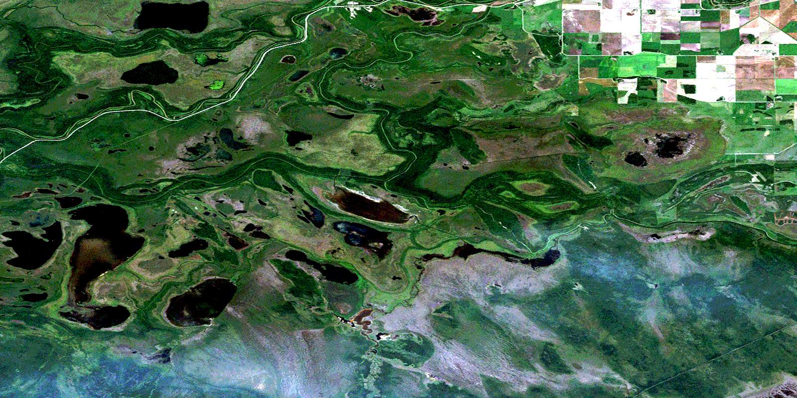
Culdesac Lake Satellite Imagery
To view this satellite map, mouse over the air photo on the right.
You can also download this satellite image map for free:
063F12 Culdesac Lake high-resolution satellite image map.
Maps for the Culdesac Lake aerial map sheet 063F12 at 1:50,000 scale are also available in these versions:
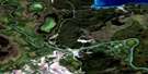
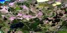
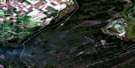
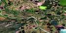
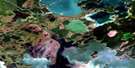
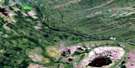
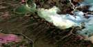
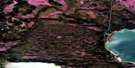
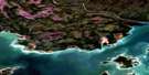
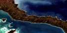
Culdesac Lake Surrounding Area Aerial Photo Maps
 |
 |
 |
 |
 |
 |
 |
 |
 |
 |
 |
 |
 |
 |
 |
 |
© Department of Natural Resources Canada. All rights reserved.
Culdesac Lake Gazetteer
The following places can be found on satellite image map 063F12 Culdesac Lake:
Culdesac Lake Satellite Image: Geographical areas
Pasquia SettlementCuldesac Lake Satellite Image: Indian Reserves
Carrot River Indian Reserve 27AOpaskwayak Cree Nation 27A
Opaskwayak Cree Nation Salt Channel 21D
Réserve indienne Carrot River 27A
Réserve indienne Salt Channel 21D
Salt Channel Indian Reserve 21D
Culdesac Lake Satellite Image: Lakes
Bainbridge LakeBoundary Lake
Carrot Lake
Cheekatinaw Lake
Culdesac Lake
Culdesac Lake
Elm Lake
Helldiver Lake
Kameyaymoostosun Lake
Loon Lake
Murphy Lake
Nakuchi Lake
Niska Lake
Nosamwokwu Lake
Nosamwokwu Lake
South Mistuhe Lake
Symons Lake
Turnberry Lake
Wapeechaykoskasik Lake
Culdesac Lake Satellite Image: Other municipal/district area - miscellaneous
Hudson Bay No. 394Culdesac Lake Satellite Image: Conservation areas
Culdesac Lake Recreation SiteCuldesac Lake Satellite Image: Rivers
Bainbridge RiverCarrot River
Carrot River
Culdesac River
Culdesac River
Elm Creek
Murphy Creek
Murphy Creek
Niska Creek
Pasquia River
Pasquia River
Sale Creek
Salt Channel
Stony Creek
Tea Creek
Thickbush Creek
Waskwei River
Whitepoplar Creek
Culdesac Lake Satellite Image: Unincorporated areas
WhitehornWhithorn
© Department of Natural Resources Canada. All rights reserved.
063F Related Maps:
063F The Pas063F01 Mossy Portage
063F02 Spruce Island
063F03 Overflowing River
063F04 Chemong Creek
063F05 Turnberry
063F06 No Title
063F07 Connolly Bay
063F08 Kokookuhoo Island
063F09 Lamb Lake
063F10 Red Earth Lake
063F11 Pasquia Lake
063F12 Culdesac Lake
063F13 Barrier Lake
063F14 The Pas
063F15 Landry Lake
063F16 Crossing Bay
