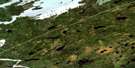
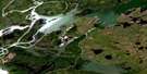
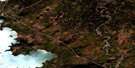
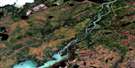
Little Bolton Lake Satellite Image Map
Download Free Aerial Photo 063I01 at 1:50,000 scale
Little Bolton Lake Satellite Imagery
To view this satellite map, mouse over the air photo on the right.
You can also download this satellite image map for free:
063I01 Little Bolton Lake high-resolution satellite image map.
Maps for the Little Bolton Lake aerial map sheet 063I01 at 1:50,000 scale are also available in these versions:
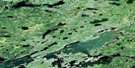
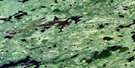
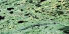
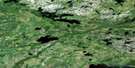
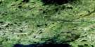
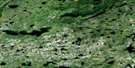
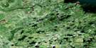
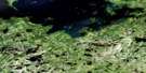
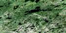
Little Bolton Lake Surrounding Area Aerial Photo Maps
 |
 |
 |
 |
 |
 |
 |
 |
 |
 |
 |
 |
 |
 |
 |
 |
© Department of Natural Resources Canada. All rights reserved.
Little Bolton Lake Gazetteer
The following places can be found on satellite image map 063I01 Little Bolton Lake:
Little Bolton Lake Satellite Image: Bays
David McKay BayJohn McKay Bay
Kaweepapiskawakamak Bay
Meyers Bay
Pritchard Bay
Little Bolton Lake Satellite Image: Capes
Chartrand PointCowan Point
Laird Point
Peters Peninsula
Little Bolton Lake Satellite Image: Channels
Johnson NarrowsLittle Bolton Lake Satellite Image: Indian Reserves
Norway House 17D-5Little Bolton Lake Satellite Image: Islands
Coates IslandDuke Island
McGregor Island
Muir Island
Rutherford Island
Rutledge Island
Little Bolton Lake Satellite Image: Lakes
High Rock Falls LakeHolenchuk Lake
Leslie Ross Lake
Little Bolton Lake
Lorentson Lake
Merkley Lake
Molson Lake
Rushforth Lake
Selby Henderson Lake
Slippery Rock Lake
Vanular Lake
Willis Ross Lake
Little Bolton Lake Satellite Image: Mountains
Black EskerLittle Bolton Lake Satellite Image: Rivers
Bolton River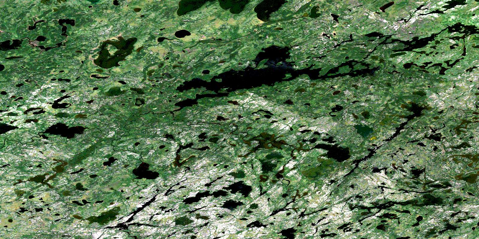
© Department of Natural Resources Canada. All rights reserved.
063I Related Maps:
063I Cross Lake063I01 Little Bolton Lake
063I02 Molson River
063I03 Paimusk Creek
063I04 Pine Creek
063I05 Sugar Falls
063I06 Butterfly Lake
063I07 Joyal Lake
063I08 Robinson Lake
063I09 Andronyk Lake
063I10 Rurak Lake
063I11 Target Lake
063I12 Cross Lake
063I13 Hill Rapids
063I14 White Rabbit Lake
063I15 Bjornson Lake
063I16 Dubinsky Lake
