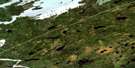
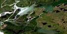
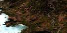
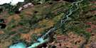
Butterfly Lake Satellite Image Map
Download Free Aerial Photo 063I06 at 1:50,000 scale
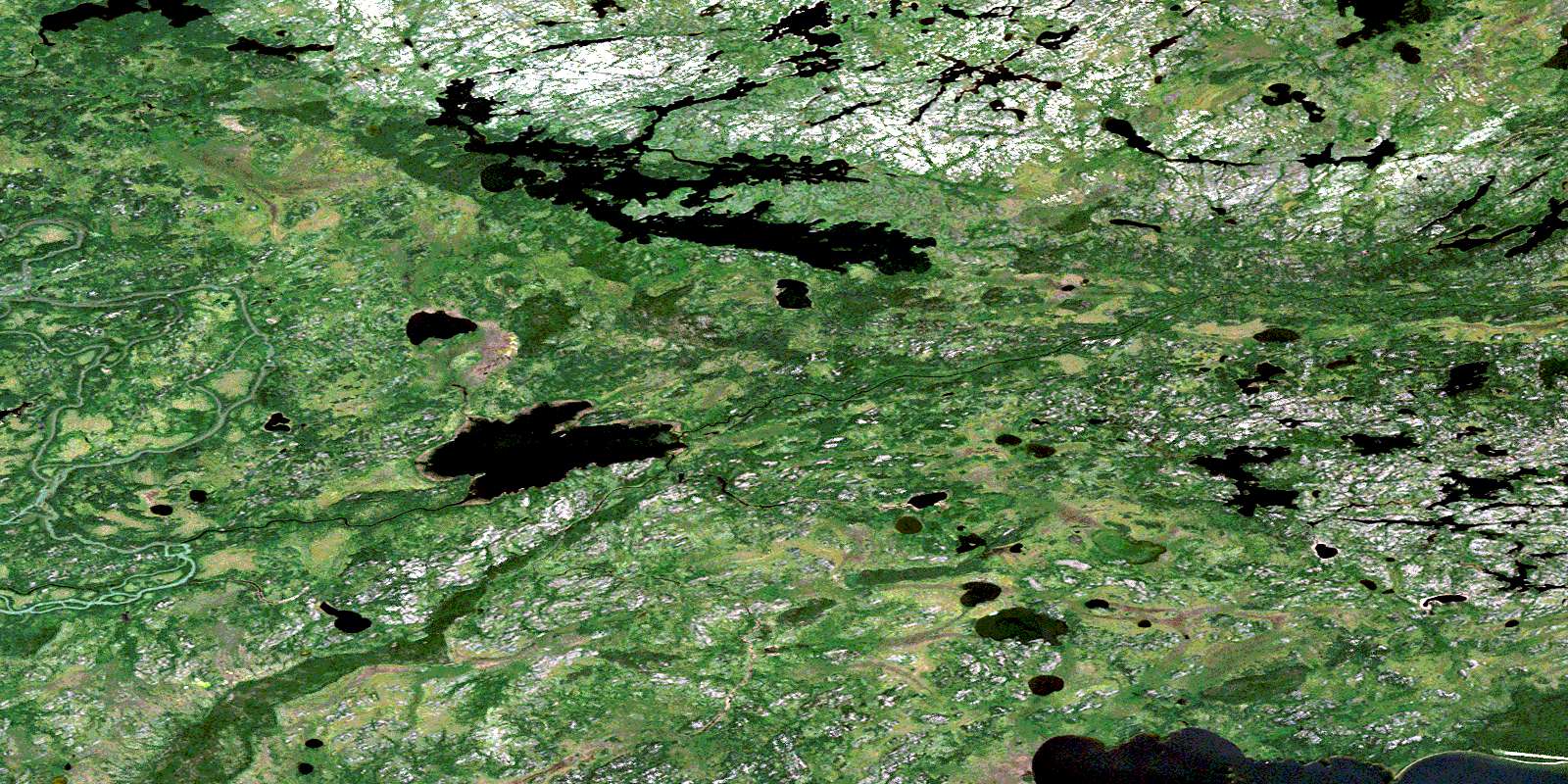
Butterfly Lake Satellite Imagery
To view this satellite map, mouse over the air photo on the right.
You can also download this satellite image map for free:
063I06 Butterfly Lake high-resolution satellite image map.
Maps for the Butterfly Lake aerial map sheet 063I06 at 1:50,000 scale are also available in these versions:
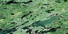
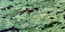
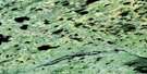
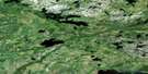
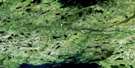
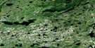
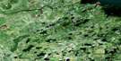
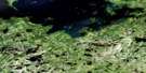
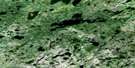
Butterfly Lake Surrounding Area Aerial Photo Maps
 |
 |
 |
 |
 |
 |
 |
 |
 |
 |
 |
 |
 |
 |
 |
 |
© Department of Natural Resources Canada. All rights reserved.
Butterfly Lake Gazetteer
The following places can be found on satellite image map 063I06 Butterfly Lake:
Butterfly Lake Satellite Image: Bays
Johns BayMcGill Bay
Butterfly Lake Satellite Image: Capes
Morrison PeninsulaButterfly Lake Satellite Image: Channels
Campbell NarrowsEast Channel
Butterfly Lake Satellite Image: Indian Reserves
Norway House 17D-7Norway House 17D-8
Butterfly Lake Satellite Image: Islands
Gallagher IslandScott Island
Butterfly Lake Satellite Image: Lakes
Butterfly LakeFairy Lake
Hairy Lake
Kotenko Lake
Molson Lake
Okawi Lake
Sukeetako Lake
Taylor Lake
Butterfly Lake Satellite Image: Rivers
Echimamish RiverFairy Creek
Half Circle Creek
Magnusson Creek
Nelson River
Pickerel River
© Department of Natural Resources Canada. All rights reserved.
063I Related Maps:
063I Cross Lake063I01 Little Bolton Lake
063I02 Molson River
063I03 Paimusk Creek
063I04 Pine Creek
063I05 Sugar Falls
063I06 Butterfly Lake
063I07 Joyal Lake
063I08 Robinson Lake
063I09 Andronyk Lake
063I10 Rurak Lake
063I11 Target Lake
063I12 Cross Lake
063I13 Hill Rapids
063I14 White Rabbit Lake
063I15 Bjornson Lake
063I16 Dubinsky Lake
