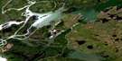
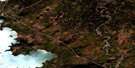
Joyal Lake Satellite Image Map
Download Free Aerial Photo 063I07 at 1:50,000 scale
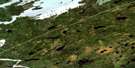
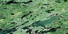
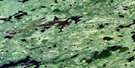
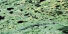
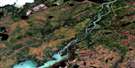
Joyal Lake Satellite Imagery
To view this satellite map, mouse over the air photo on the right.
You can also download this satellite image map for free:
063I07 Joyal Lake high-resolution satellite image map.
Maps for the Joyal Lake aerial map sheet 063I07 at 1:50,000 scale are also available in these versions:
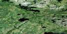
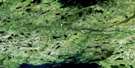
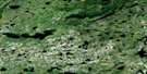
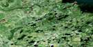
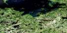
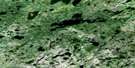
Joyal Lake Surrounding Area Aerial Photo Maps
 |
 |
 |
 |
 |
 |
 |
 |
 |
 |
 |
 |
 |
 |
 |
 |
© Department of Natural Resources Canada. All rights reserved.
Joyal Lake Gazetteer
The following places can be found on satellite image map 063I07 Joyal Lake:
Joyal Lake Satellite Image: Bays
Craig BayMcGregor Bay
Onanawinikaywin Bay
Spencer Bay
Talbot Bay
Joyal Lake Satellite Image: Capes
Boyd PointGuthrie Point
Hill Point
Kennedy Peninsula
Joyal Lake Satellite Image: Indian Reserves
Norway House 17D-1Joyal Lake Satellite Image: Islands
Aitken IslandArnold Island
Beatty Island
Condie Island
MacLennan Island
Peanut Island
Zdan Island
Joyal Lake Satellite Image: Lakes
Brodie LakeContact Lake
Conway Lake
Cybuilski Lake
Dunsford Lake
Elder Lake
Fairy Lake
Galena Lake
Grainger Lake
Hatch Lake
Henderson Lake
Hodgins Lake
Joyal Lake
Kotenko Lake
Lawford Lake
Loon Lake
McMahon Lake
Midway Lake
Molson Lake
Mukutasip Lake
Nightowl Lake
Panepuyew Lake
Paul Lake
Paull Lake
Penonzek Lake
Pine Lake
Scoular Lake
Taylor Lake
Trimble Lake
Tytgat Lake
Wanemoche Lake
Welbanks Lake
Joyal Lake Satellite Image: Rapids
Onakamik RapidsJoyal Lake Satellite Image: Rivers
Echimamish RiverFairy Creek
Kisayinew Creek
Kissayinew Creek
Panepuyew Creek
Pine Creek
Pine Creek
Joyal Lake Satellite Image: Road features
Painted Stone Portage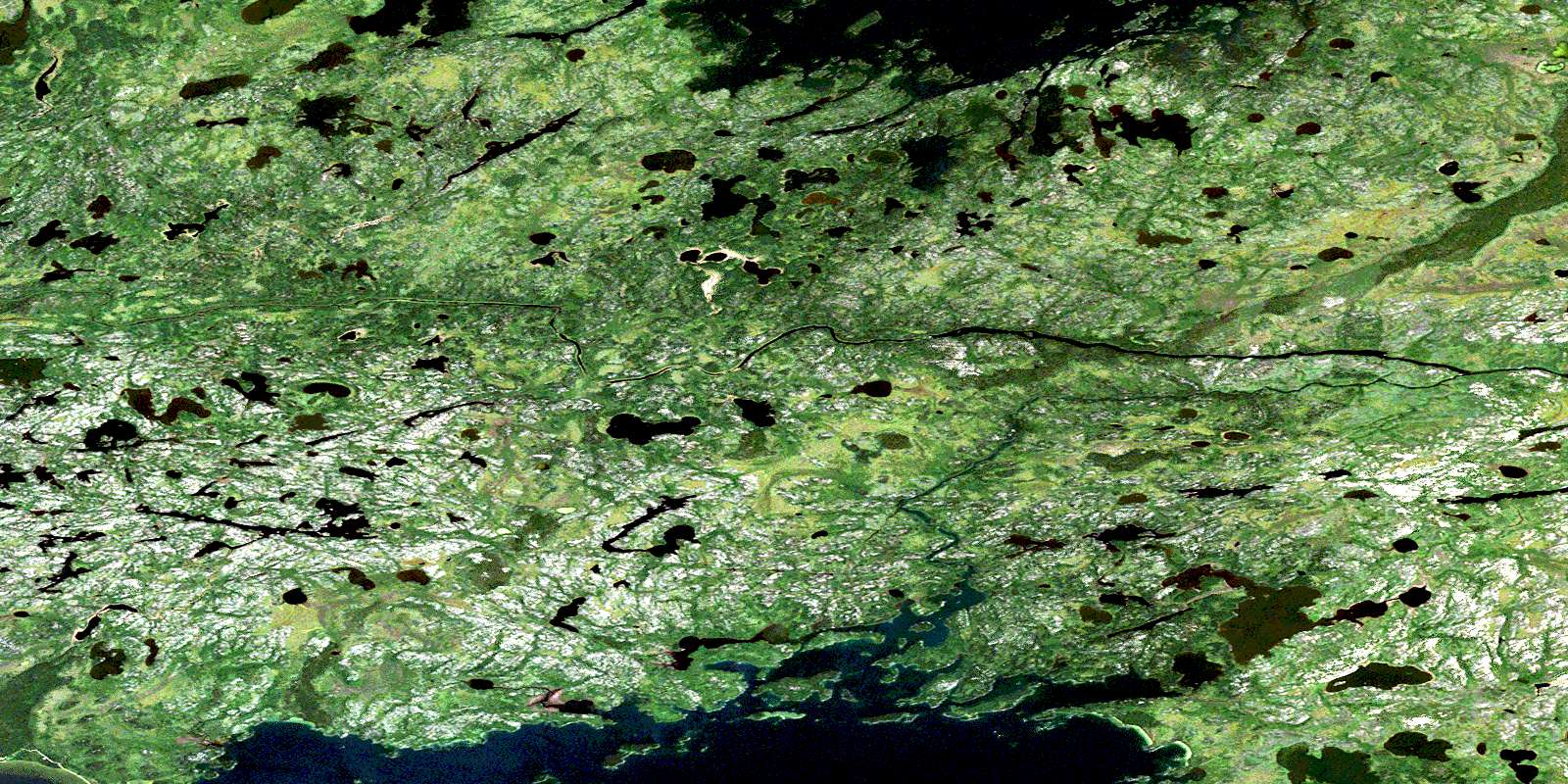
© Department of Natural Resources Canada. All rights reserved.
063I Related Maps:
063I Cross Lake063I01 Little Bolton Lake
063I02 Molson River
063I03 Paimusk Creek
063I04 Pine Creek
063I05 Sugar Falls
063I06 Butterfly Lake
063I07 Joyal Lake
063I08 Robinson Lake
063I09 Andronyk Lake
063I10 Rurak Lake
063I11 Target Lake
063I12 Cross Lake
063I13 Hill Rapids
063I14 White Rabbit Lake
063I15 Bjornson Lake
063I16 Dubinsky Lake
