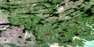
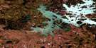
Swan Bay Satellite Image Map
Download Free Aerial Photo 064B10 at 1:50,000 scale
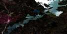
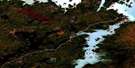
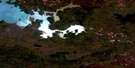
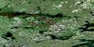
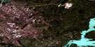
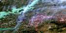
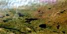
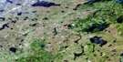
Swan Bay Satellite Imagery
To view this satellite map, mouse over the air photo on the right.
You can also download this satellite image map for free:
064B10 Swan Bay high-resolution satellite image map.
Maps for the Swan Bay aerial map sheet 064B10 at 1:50,000 scale are also available in these versions:
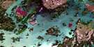
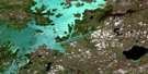
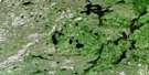
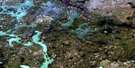
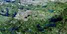
Swan Bay Surrounding Area Aerial Photo Maps
 |
 |
 |
 |
 |
 |
 |
 |
 |
 |
 |
 |
 |
 |
 |
 |
© Department of Natural Resources Canada. All rights reserved.
Swan Bay Gazetteer
The following places can be found on satellite image map 064B10 Swan Bay:
Swan Bay Satellite Image: Bays
South BaySwan Bay
Swan Bay Satellite Image: Capes
Jimmy Spence PointSwan Bay Satellite Image: Channels
Poplar NarrowsSwan Bay Satellite Image: Lakes
Asinni LakeKaministiko Lake
Kaneesochawekeamisk Lake
Neepisi Lake
Small Nisku Lake
Southern Indian Lake
Uhlman Lake
Uyumihaywatik Lake
Wasakamik Lake
Swan Bay Satellite Image: Conservation areas
Amisk Park ReserveSwan Bay Satellite Image: Rivers
Kaneesochawekeamisk RiverKeespapiskaw River
Naykownapiskow River
Okaw Creek
Rat River
Wapisew River
Swan Bay Satellite Image: Road features
Amusk Portage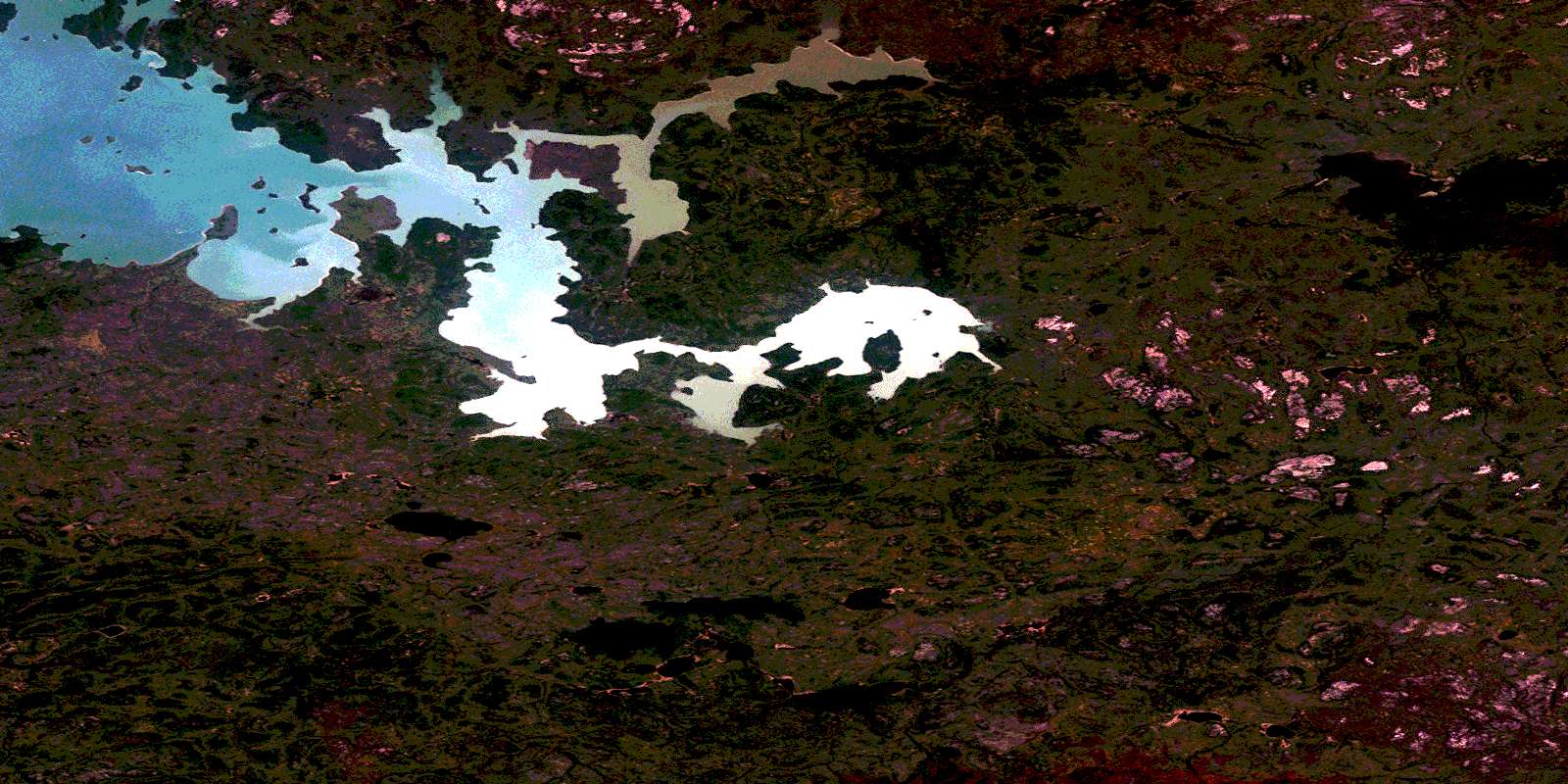
© Department of Natural Resources Canada. All rights reserved.
064B Related Maps:
064B Uhlman Lake064B01 Harding Lake
064B02 Leftrook Lake
064B03 Mynarski Lakes
064B04 Goodwin Lake
064B05 Pemichigamau Lake
064B06 Earp Lake
064B07 Livingston Lake
064B08 Barnes Lake
064B09 Broughton Lake
064B10 Swan Bay
064B11 Issett Lake
064B12 Opachuanau Lake
064B13 Fraser Lake
064B14 Lemay Island
064B15 Cousins Lake
064B16 Chapman Lake
