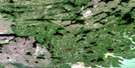
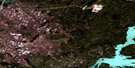
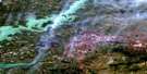
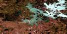
Fraser Lake Satellite Image Map
Download Free Aerial Photo 064B13 at 1:50,000 scale
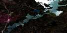
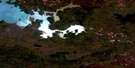
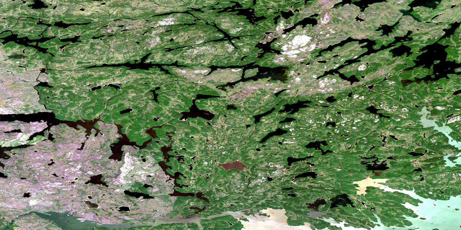
Fraser Lake Satellite Imagery
To view this satellite map, mouse over the air photo on the right.
You can also download this satellite image map for free:
064B13 Fraser Lake high-resolution satellite image map.
Maps for the Fraser Lake aerial map sheet 064B13 at 1:50,000 scale are also available in these versions:
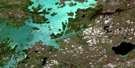
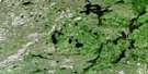
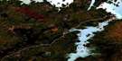
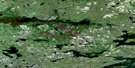
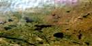
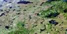
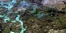
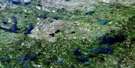
Fraser Lake Surrounding Area Aerial Photo Maps
 |
 |
 |
 |
 |
 |
 |
 |
 |
 |
 |
 |
 |
 |
 |
 |
© Department of Natural Resources Canada. All rights reserved.
Fraser Lake Gazetteer
The following places can be found on satellite image map 064B13 Fraser Lake:
Fraser Lake Satellite Image: Bays
Armstrong BayBald Bay
Fraser Lake Satellite Image: Channels
Sucker NarrowsFraser Lake Satellite Image: Lakes
Barlow LakeDoerksen Lake
Doerksen Lake
Float Lake
Fraser Lake
Haralson Lake
Hollingworth Lake
January Lake
Kore Lake
MacBride Lake
Magrath Lake
Mayor Lake
McAree Lake
McFadden Lake
Nose Lake
Nose Lake
Opachuanau Lake
Pine Lake
Soltowski Lake
Southern Indian Lake
Spock Lake
Wesley Lake
Fraser Lake Satellite Image: Rapids
Wetikoo RapidsFraser Lake Satellite Image: Rivers
Barrington RiverChurchill River
Landing River
MacBride River
North MacBride River
Rivière Churchill
© Department of Natural Resources Canada. All rights reserved.
064B Related Maps:
064B Uhlman Lake064B01 Harding Lake
064B02 Leftrook Lake
064B03 Mynarski Lakes
064B04 Goodwin Lake
064B05 Pemichigamau Lake
064B06 Earp Lake
064B07 Livingston Lake
064B08 Barnes Lake
064B09 Broughton Lake
064B10 Swan Bay
064B11 Issett Lake
064B12 Opachuanau Lake
064B13 Fraser Lake
064B14 Lemay Island
064B15 Cousins Lake
064B16 Chapman Lake
