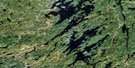
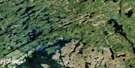
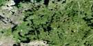
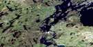
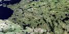
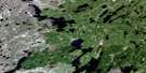
Wathaman Lake Satellite Image Map
Download Free Aerial Photo 064D13 at 1:50,000 scale
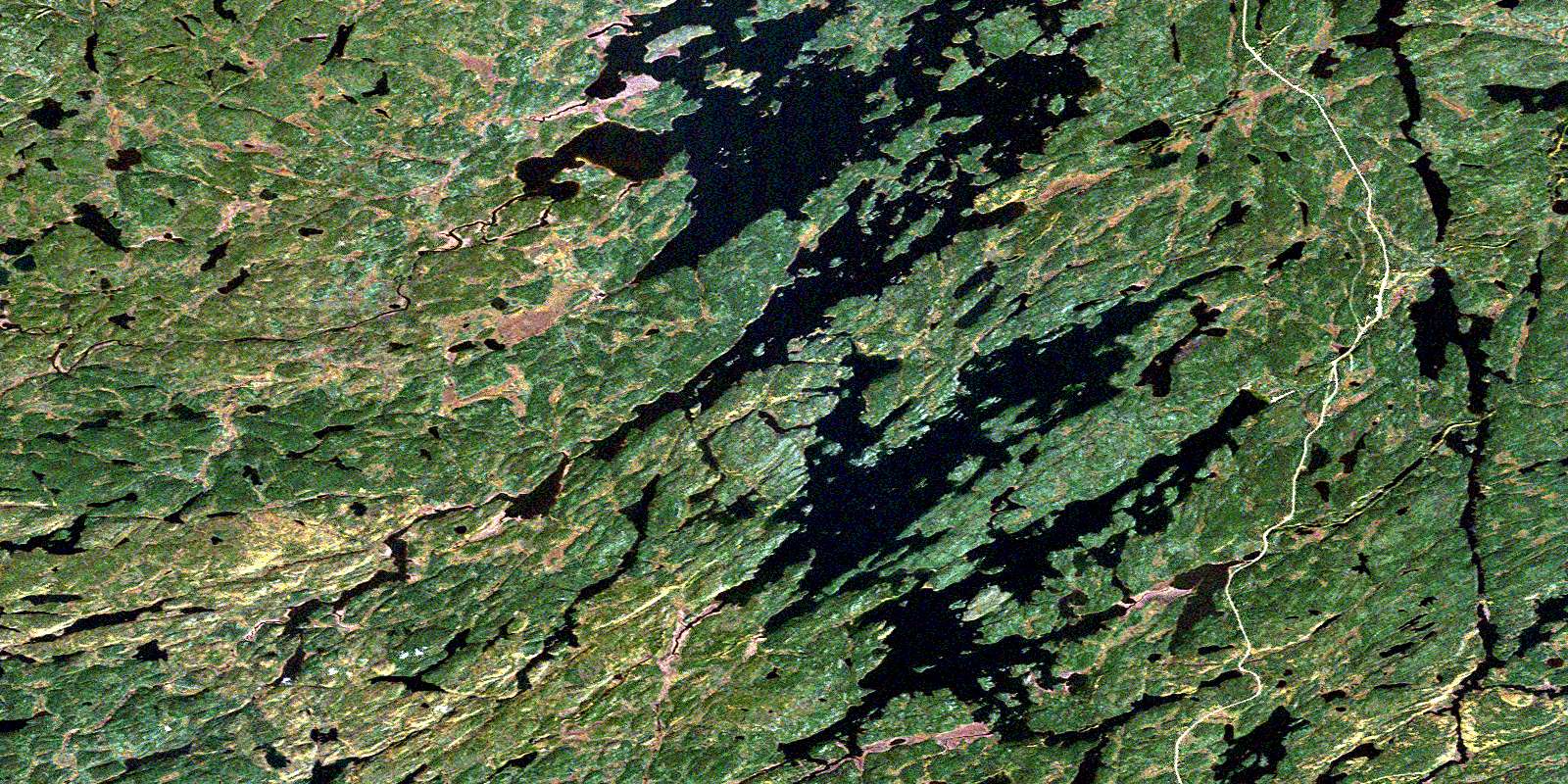
Wathaman Lake Satellite Imagery
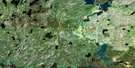
To view this satellite map, mouse over the air photo on the right.
You can also download this satellite image map for free:
064D13 Wathaman Lake high-resolution satellite image map.
Maps for the Wathaman Lake aerial map sheet 064D13 at 1:50,000 scale are also available in these versions:
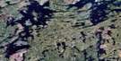
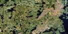
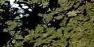
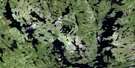
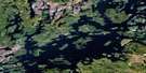
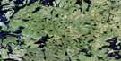
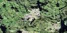
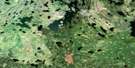
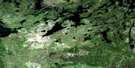
Wathaman Lake Surrounding Area Aerial Photo Maps
 |
 |
 |
 |
 |
 |
 |
 |
 |
 |
 |
 |
 |
 |
 |
 |
© Department of Natural Resources Canada. All rights reserved.
Wathaman Lake Gazetteer
The following places can be found on satellite image map 064D13 Wathaman Lake:
Wathaman Lake Satellite Image: Bays
Cairns BayCampbell Bay
Carson Bay
Currie Bay
Hillier Bay
Lightle Bay
MacLean Bay
Michael Bay
Miller Bay
Nyberg Bay
Olson Bay
Paul Bay
Purvis Bay
Stewart Bay
Thompson Bay
Wallace Bay
Walsh Bay
Wilson Bay
Woodman Bay
Wathaman Lake Satellite Image: Capes
Carson PeninsulaCook Peninsula
Fisher Peninsula
Olson Peninsula
Robertson Peninsula
Robertson Point
Wilson Peninsula
Wathaman Lake Satellite Image: Channels
Brown NarrowsCampbell Narrows
Robertson Narrows
Watson Narrows
Wathaman Lake Satellite Image: Islands
Campbell IslandsIrvine Island
Lawrence Island
Little Island
McClellan Island
Miller Island
Molloy Island
Morrison Island
Nesbitt Island
Robertson Islands
Russell Island
Smith Island
Watson Island
White Island
Wathaman Lake Satellite Image: Lakes
Atwater LakeBillesberger Lake
Coyle Lake
Davin Lake
Erickson Lake
Evans Lake
Kane Lake
Kelsey Lake
Loverick Lake
MacMillan Lake
McLaughlin Lake
McLeod Lake
Metcalfe Lake
Morris Lake
Oliver Lake
Pasterfield Lake
Peters Lake
Price Lake
Pritchard Lake
Rice Lake
Roberts Lake
Ross Lake
Schaffer Lake
Skinner Lake
Wathaman Lake
Wathaman Lake Satellite Image: Conservation areas
Davin Lake Recreation SiteWathaman Lake Satellite Image: Rapids
Bell RapidsCollins Rapids
Cowan Rapids
McKenzie Rapids
Stuart Rapids
Wathaman Lake Satellite Image: Rivers
Pink RiverRoss River
Wathaman River
© Department of Natural Resources Canada. All rights reserved.
064D Related Maps:
064D Numabin Bay064D01 Kamatsi Lake
064D02 Harriott Lake
064D03 Royal Lake
064D04 Lower Waddy Lake
064D05 May Lake
064D06 Southend
064D07 Finlayson Lake
064D08 Kyaska Lake
064D09 Bleasdell Lake
064D10 Milton Island
064D11 Ghana Lake
064D12 Macoun Lake
064D13 Wathaman Lake
064D14 Oliver Lake
064D15 Perry Lake
064D16 Amiskit Island
