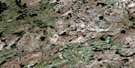
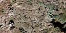
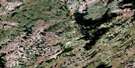
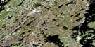
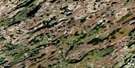
Putahow Lake Satellite Image Map
Download Free Aerial Photo 064N15 at 1:50,000 scale
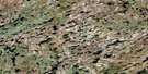
Putahow Lake Satellite Imagery
To view this satellite map, mouse over the air photo on the right.
You can also download this satellite image map for free:
064N15 Putahow Lake high-resolution satellite image map.
Maps for the Putahow Lake aerial map sheet 064N15 at 1:50,000 scale are also available in these versions:
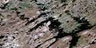
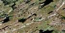
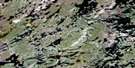
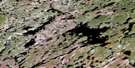
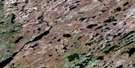
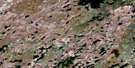
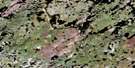
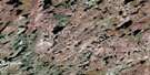
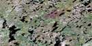
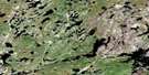
Putahow Lake Surrounding Area Aerial Photo Maps
 |
 |
 |
 |
 |
 |
 |
 |
 |
 |
 |
 |
 |
 |
 |
 |
© Department of Natural Resources Canada. All rights reserved.
Putahow Lake Gazetteer
The following places can be found on satellite image map 064N15 Putahow Lake:
Putahow Lake Satellite Image: Bays
Flett BayGunn Bay
Harris Bay
MacDonald Bay
Putahow Lake Satellite Image: Islands
Barnes IslandLow Island
Roy Island
Scaife Island
Putahow Lake Satellite Image: Lakes
Ballantyne LakeBurnett Lake
Charlie Lake
Charlie Lake
Dzilteen Lake
Gillander Lake
Goose Lake
Goose Lake
Greengrass Lake
Koona Lake
Mann Lake
Mann Lake
Moggey Lake
Morfoot Lake
Penner Lake
Putahow Lake
Saar Lake
Scaife Lake
Schnell Lake
Thuytowayazi Lake
Tice Lake
Widlake Lake
Putahow Lake Satellite Image: Provinces
ManitobaPutahow Lake Satellite Image: Rivers
Mair CreekPutahow River
Putahow Lake Satellite Image: Road features
Husky PortagePutahow Lake Satellite Image: Territory
Nunavut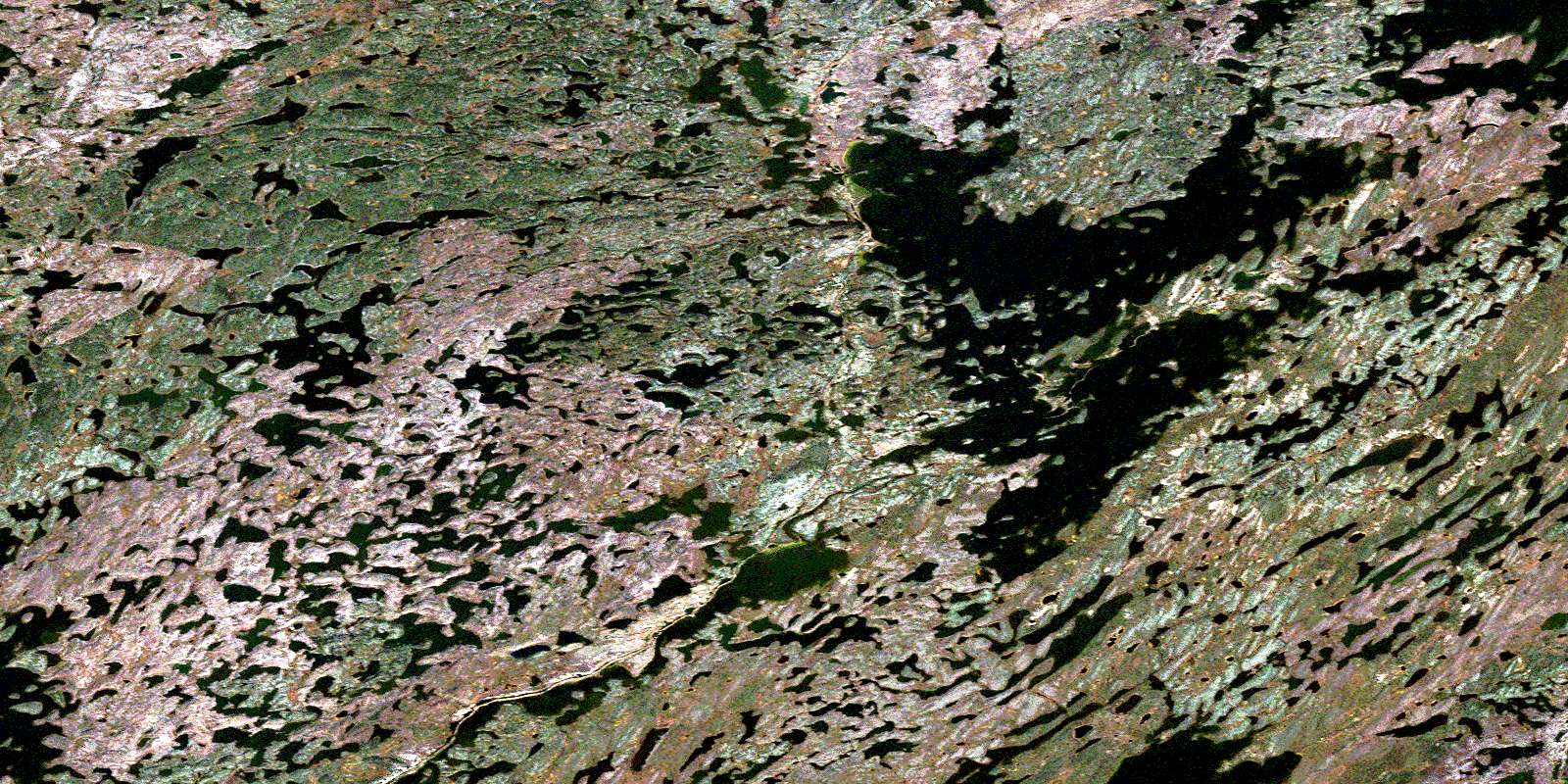
© Department of Natural Resources Canada. All rights reserved.
064N Related Maps:
064N Kasmere Lake064N01 Minuhik Lake
064N02 Whitmore Lake
064N03 Colbeck Lake
064N04 Erickson Lake
064N05 Snyder Lake
064N06 Thanout Lake
064N07 Hugill Creek
064N08 Finner Lake
064N09 Turner Lake
064N10 Sucker Lake
064N11 Kasmere Lake
064N12 Wolk Lake
064N13 Veal Lake
064N14 Tice Lake
064N15 Putahow Lake
064N16 Bagg Lake
