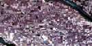
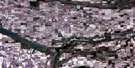
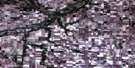
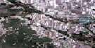
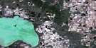
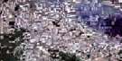
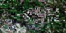
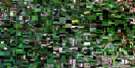
Rouleau Satellite Image Map
Download Free Aerial Photo 072I02 at 1:50,000 scale
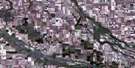
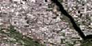
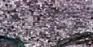
Rouleau Satellite Imagery
To view this satellite map, mouse over the air photo on the right.
You can also download this satellite image map for free:
072I02 Rouleau high-resolution satellite image map.
Maps for the Rouleau aerial map sheet 072I02 at 1:50,000 scale are also available in these versions:
Rouleau Surrounding Area Aerial Photo Maps
 |
 |
 |
 |
 |
 |
 |
 |
 |
 |
 |
 |
 |
 |
 |
 |
© Department of Natural Resources Canada. All rights reserved.
Rouleau Gazetteer
The following places can be found on satellite image map 072I02 Rouleau:
Rouleau Satellite Image: Cliffs
The Missouri CoteauRouleau Satellite Image: Lakes
Bratt LakeBratt's Lake
Buck Lake
Rouleau Satellite Image: Other municipal/district area - miscellaneous
Bratt's Lake No. 129Caledonia No. 99
Elmsthorpe No. 100
Redburn No. 130
Rouleau Satellite Image: Conservation areas
Dunnet Regional ParkRouleau Satellite Image: Rivers
Avonlea CreekMoose Jaw River
Rouleau Satellite Image: Towns
RouleauRouleau Satellite Image: Unincorporated areas
CorinneDiana
Rouleau Satellite Image: Villages
Wilcox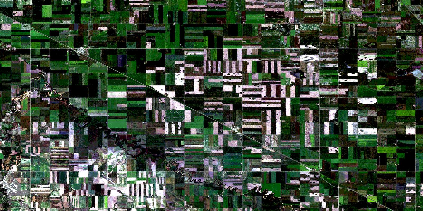
© Department of Natural Resources Canada. All rights reserved.
