Moose Jaw Satellite Image Map
Download Free Aerial Photo 072I05 at 1:50,000 scale
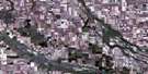
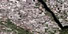
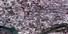
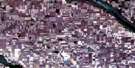
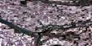
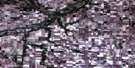
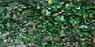
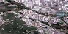
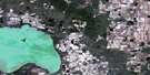
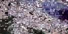
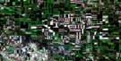
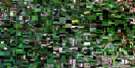
Moose Jaw Satellite Imagery
To view this satellite map, mouse over the air photo on the right.
You can also download this satellite image map for free:
072I05 Moose Jaw high-resolution satellite image map.
Maps for the Moose Jaw aerial map sheet 072I05 at 1:50,000 scale are also available in these versions:
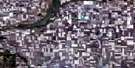
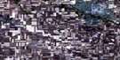
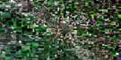
Moose Jaw Surrounding Area Aerial Photo Maps
 |
 |
 |
 |
 |
 |
 |
 |
 |
 |
 |
 |
 |
 |
 |
 |
© Department of Natural Resources Canada. All rights reserved.
Moose Jaw Gazetteer
The following places can be found on satellite image map 072I05 Moose Jaw:
Moose Jaw Satellite Image: City
Moose JawMoose Jaw Satellite Image: Cliffs
The Missouri CoteauMoose Jaw Satellite Image: Hamlets
CaronMoose Jaw Satellite Image: Hydraulic construction
Caron DitchMoose Jaw Satellite Image: Military areas
Base des Forces canadiennes Moose JawCanadian Forces Base Moose Jaw
Moose Jaw Satellite Image: Other municipal/district area - miscellaneous
Baildon No. 131Caron No. 162
Hillsborough No. 132
Moose Jaw No. 161
Moose Jaw Satellite Image: Conservation areas
Besant Recreation SiteMoose Jaw Game Preserve
Moose Jaw Satellite Image: Rivers
Moose Jaw RiverSandy Creek
Thunder Creek
Wilson Creek
Moose Jaw Satellite Image: Springs
Snowdys SpringsMoose Jaw Satellite Image: Unincorporated areas
AboundArchive
Archydal
Belbeck
Boharm
Britannia Park
Burt
Bushell Park
Caribou Heights
Churchill Park
City View
CPR
Crescent View
Curle
Currie Heights
Dunmore
Earnscliffe
Fairview
Grand View
Greyson Industrial Park
High Park
Highland Park
Hill Crest
Industrial Centre
Kingsway Park
Lillestrom
Lynbrook Heights
Mooscana
New Currie
Pacific Park
Palliser Heights
Parkdale Boulevard
Pleasant View
Prairie Heights
Regal Heights
Rideau Heights
River Park
River View
Rosemont
Ross Park
Rothesay Park
Sevenmile
Slater
Sunningdale
Sunnyside
Tapley
The Highlands
University
University Heights
Victoria Heights
Wellesley Park
Westheath
Westmore
Westmount
Windsor Park
Moose Jaw Satellite Image: Valleys
Archydal CouleeRichards Coulee
Snowdys Coulee
Moose Jaw Satellite Image: Villages
Caronport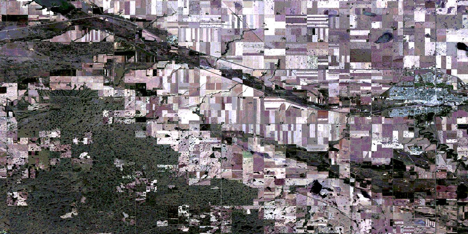
© Department of Natural Resources Canada. All rights reserved.
