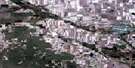
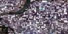
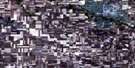
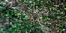
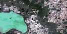
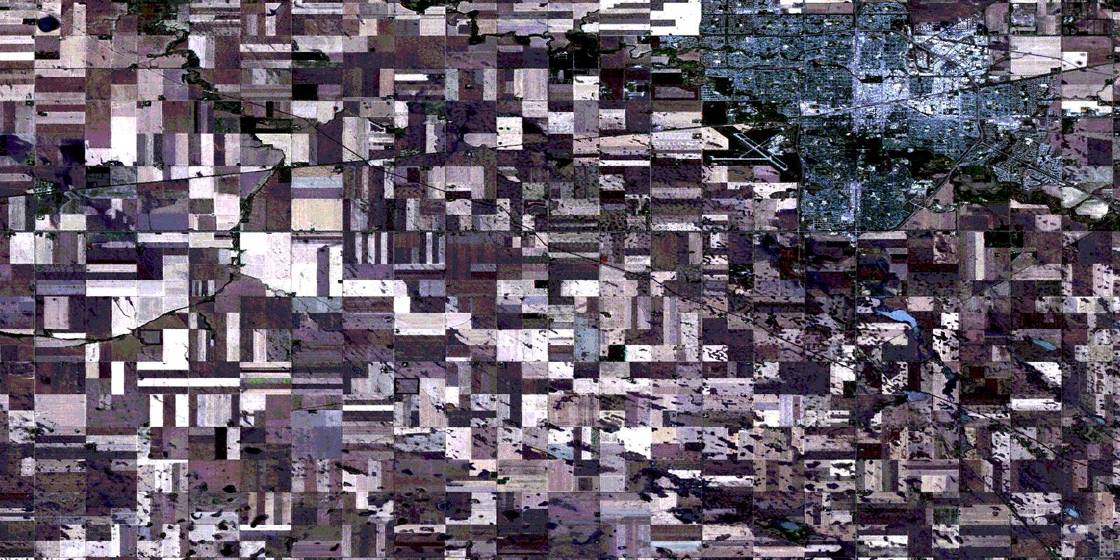
Regina Satellite Image Map
Download Free Aerial Photo 072I07 at 1:50,000 scale
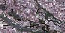
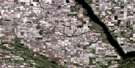
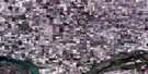
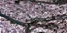
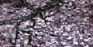
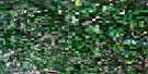
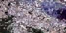
Regina Satellite Imagery
To view this satellite map, mouse over the air photo on the right.
You can also download this satellite image map for free:
072I07 Regina high-resolution satellite image map.
Maps for the Regina aerial map sheet 072I07 at 1:50,000 scale are also available in these versions:
Regina Surrounding Area Aerial Photo Maps
 |
 |
 |
 |
 |
 |
 |
 |
 |
 |
 |
 |
 |
 |
 |
 |
© Department of Natural Resources Canada. All rights reserved.
Regina Gazetteer
The following places can be found on satellite image map 072I07 Regina:
Regina Satellite Image: City
ReginaRegina Satellite Image: Indian Reserves
Piapot Cree First Nation 75KPiapot First Nation 75T
Piapot Urban Reserve
Sakimay 74-6
Regina Satellite Image: Islands
Goose IslandSpruce Island
Tern Island
Willow Island
Regina Satellite Image: Lakes
Wascana LakeRegina Satellite Image: Other municipal/district area - miscellaneous
Pense No. 160Sherwood No. 159
Regina Satellite Image: Conservation areas
Refuge d'oiseaux du lac WascanaWascana Game Preserve
Wascana Lake Bird Sanctuary
Regina Satellite Image: Rivers
Cottonwood CreekWascana Creek
Regina Satellite Image: Unincorporated areas
AdamsAlbert Park
Albert Park South
Argyle Park
Arnheim Place
Assiniboia East
Broders Annex
Churchill Downs
City View
Cominco
Coronation Park
Coventry Place
Dieppe Place
Dominion Heights
Douglas Place
Eastview
Englewood
Estlin
Gardiner Heights
Gardiner Park
Glencairn
Glencairn Village
Glenelm Park
Highland Park
Hillsdale
Kearney
Lakeview
Lakewood
McCarthy Park
Mount Royal
Normandy Heights
Normanview
Normanview West
Parliament Place
Pattee
Pinkie
Pioneer Village
Qu'Appelle Village
Regent Park
Regina's Market Square
River Heights
Rosemont
Ross Industrial Park
Rothwell Place
Rowatt
Rufus
Sherwood Estates
Sidmar
South Lakeview
Transcona
Tuxedo Park
University Park
University Park East
Uplands
Walsh Acres
Warell Junction
Warrell Junction
Wascana
Washington Park
Whitmore Park
Windsor Place
Wood Meadows
Regina Satellite Image: Villages
Grand CouleePense
© Department of Natural Resources Canada. All rights reserved.
