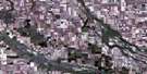
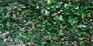
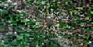
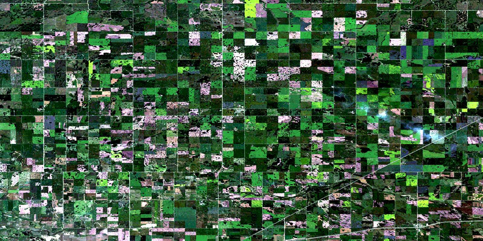
Edenwold Satellite Image Map
Download Free Aerial Photo 072I09 at 1:50,000 scale
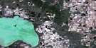
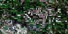
Edenwold Satellite Imagery
To view this satellite map, mouse over the air photo on the right.
You can also download this satellite image map for free:
072I09 Edenwold high-resolution satellite image map.
Maps for the Edenwold aerial map sheet 072I09 at 1:50,000 scale are also available in these versions:
Edenwold Surrounding Area Aerial Photo Maps
 |
 |
 |
 |
 |
 |
 |
 |
 |
 |
 |
 |
 |
 |
 |
 |
© Department of Natural Resources Canada. All rights reserved.
Edenwold Gazetteer
The following places can be found on satellite image map 072I09 Edenwold:
Edenwold Satellite Image: Indian Reserves
Pasqua 79Piapot 75
Edenwold Satellite Image: Lakes
Egg LakeEdenwold Satellite Image: Other municipal/district area - miscellaneous
Edenwold No. 158Lumsden No. 189
North Qu'Appelle No. 187
Sherwood No. 159
South Qu'Appelle No. 157
Edenwold Satellite Image: Conservation areas
Boggy Creek Game PreserveMcLean Recreation Site
Edenwold Satellite Image: Rivers
Boggy CreekSeibel Creek
Edenwold Satellite Image: Towns
BalgonieEdenwold Satellite Image: Unincorporated areas
AvonhurstFrankslake
St. Josephs Colony
Zehner
Edenwold Satellite Image: Villages
EdenwoldMcLean
© Department of Natural Resources Canada. All rights reserved.
