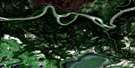
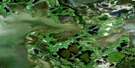
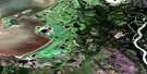
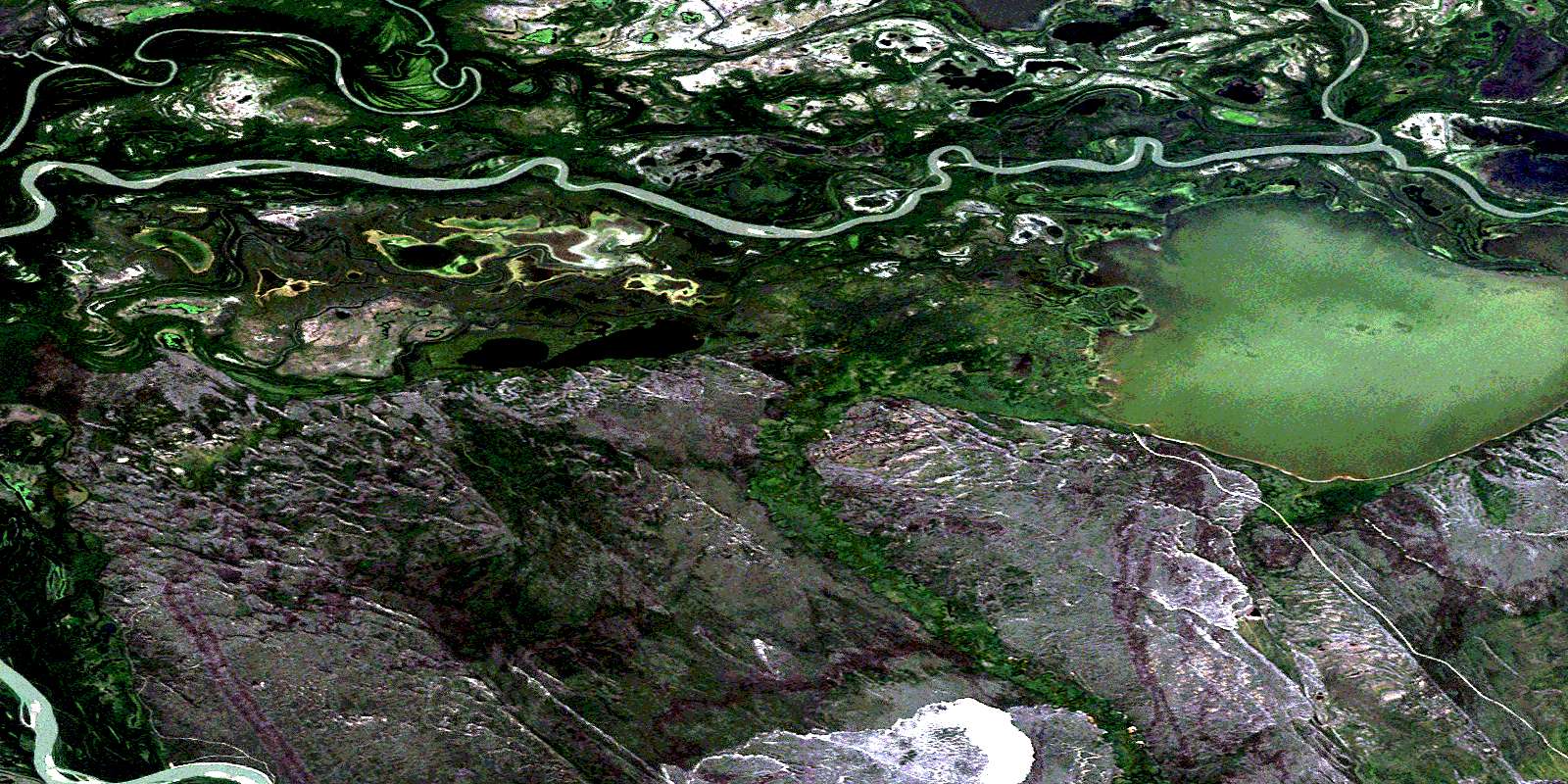
Richardson Lake Satellite Image Map
Download Free Aerial Photo 074L06 at 1:50,000 scale
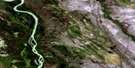
Richardson Lake Satellite Imagery
To view this satellite map, mouse over the air photo on the right.
You can also download this satellite image map for free:
074L06 Richardson Lake high-resolution satellite image map.
Maps for the Richardson Lake aerial map sheet 074L06 at 1:50,000 scale are also available in these versions:
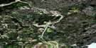
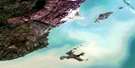
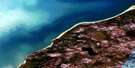
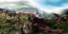
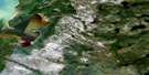
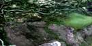
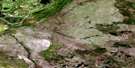
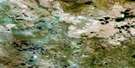
Richardson Lake Surrounding Area Aerial Photo Maps
 |
 |
 |
 |
 |
 |
 |
 |
 |
 |
 |
 |
 |
 |
 |
 |
© Department of Natural Resources Canada. All rights reserved.
Richardson Lake Gazetteer
The following places can be found on satellite image map 074L06 Richardson Lake:
Richardson Lake Satellite Image: Capes
Peace-Athabasca DeltaRichardson Lake Satellite Image: Channels
Fletcher ChannelRichardson Lake Satellite Image: Indian Reserves
Old Fort 217Richardson Lake Satellite Image: Lakes
Blanche LakeDagmar Lake
Limon Lake
Richardson Lake
Richardson Lake Satellite Image: Other municipal/district area - miscellaneous
Improvement District No. 24Richardson Lake Satellite Image: Conservation areas
Parc national du Canada Wood BuffaloRefuge d'oiseaux du Lac-Richardson
Richardson Lake Bird Sanctuary
Wood Buffalo National Park of Canada
Richardson Lake Satellite Image: Rivers
Athabasca RiverAthabaska River
Embarras River
Fletcher River
Richardson River
Rivière Athabasca
Richardson Lake Satellite Image: River features
Big Eddy BendDevils Elbow
Ess Bend
Richardson Lake Satellite Image: Unincorporated areas
Big EddyEmbarras Portage
Old Fort
© Department of Natural Resources Canada. All rights reserved.
074L Related Maps:
074L Fort Chipewyan074L01 Archer Lake
074L02 Larocque Lake
074L03 Embarras
074L04 Buckton Creek
074L05 Welstead Lake
074L06 Richardson Lake
074L07 Keane Creek
074L08 Brander Lake
074L09 Old Fort Bay
074L10 Big Point
074L11 Fort Chipewyan
074L12 Hilda Lake
074L13 Baril River
074L14 Riviere Des Rochers
074L15 Bustard Island
074L16 Stone Point
