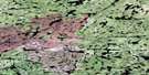
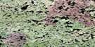
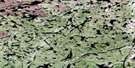
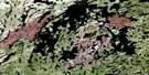
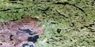
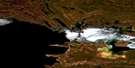
Fond-Du-Lac Satellite Image Map
Download Free Aerial Photo 074O06 at 1:50,000 scale
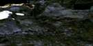
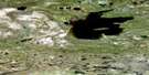
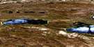
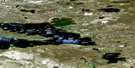
Fond-Du-Lac Satellite Imagery
To view this satellite map, mouse over the air photo on the right.
You can also download this satellite image map for free:
074O06 Fond-Du-Lac high-resolution satellite image map.
Maps for the Fond-Du-Lac aerial map sheet 074O06 at 1:50,000 scale are also available in these versions:
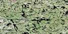
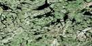
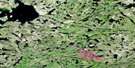
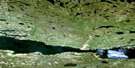
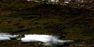
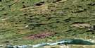
Fond-Du-Lac Surrounding Area Aerial Photo Maps
 |
 |
 |
 |
 |
 |
 |
 |
 |
 |
 |
 |
 |
 |
 |
 |
© Department of Natural Resources Canada. All rights reserved.
Fond-Du-Lac Gazetteer
The following places can be found on satellite image map 074O06 Fond-Du-Lac:
Fond-Du-Lac Satellite Image: Bays
Dempsey BayFerguson Bay
Neil Bay
Fond-Du-Lac Satellite Image: Capes
Beaver PointFraser Point
Fond-Du-Lac Satellite Image: Indian Reserves
Fond du Lac 227Fond du Lac 228
Fond du Lac 233
Fond-Du-Lac Satellite Image: Islands
Clark IslandLepus Island
Fond-Du-Lac Satellite Image: Lakes
Lac AthabascaLake Athabasca
Locke Lake
McKenzie Lake
Nollet Lake
Schlater Lake
Sinclair Lakes
Fond-Du-Lac Satellite Image: Rapids
Smith RapidsFond-Du-Lac Satellite Image: Rivers
Bulyea RiverOtherside River
Point Creek
Fond-Du-Lac Satellite Image: Unincorporated areas
Fond-du-Lac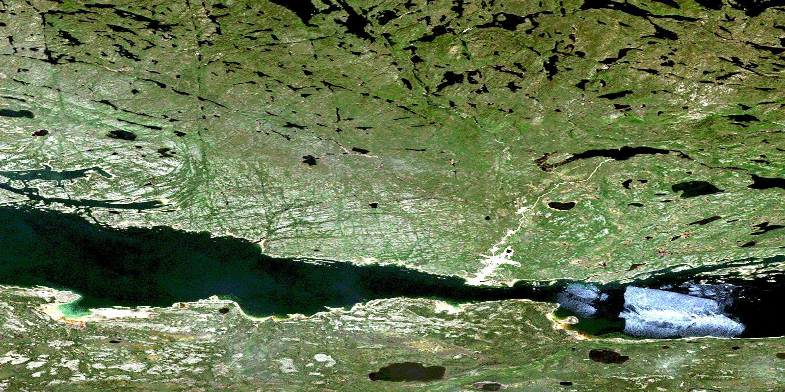
© Department of Natural Resources Canada. All rights reserved.
074O Related Maps:
074O Fond-Du-Lac074O01 Riou Lake
074O02 Engler Lake
074O03 Richards Lake
074O04 Helmer Lake
074O05 Isle Brochet
074O06 Fond-Du-Lac
074O07 Lowe Lake
074O08 Wiley Lake
074O09 Fontaine Lake
074O10 Oman Lake
074O11 Forsyth Lake
074O12 Nevins Lake
074O13 Dardier Lake
074O14 Carcoux Lake
074O15 Chappuis Lake
074O16 Scott Lake
