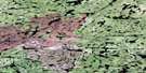
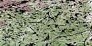
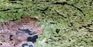
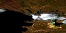
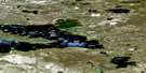
Wiley Lake Satellite Image Map
Download Free Aerial Photo 074O08 at 1:50,000 scale
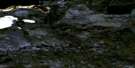
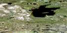
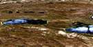
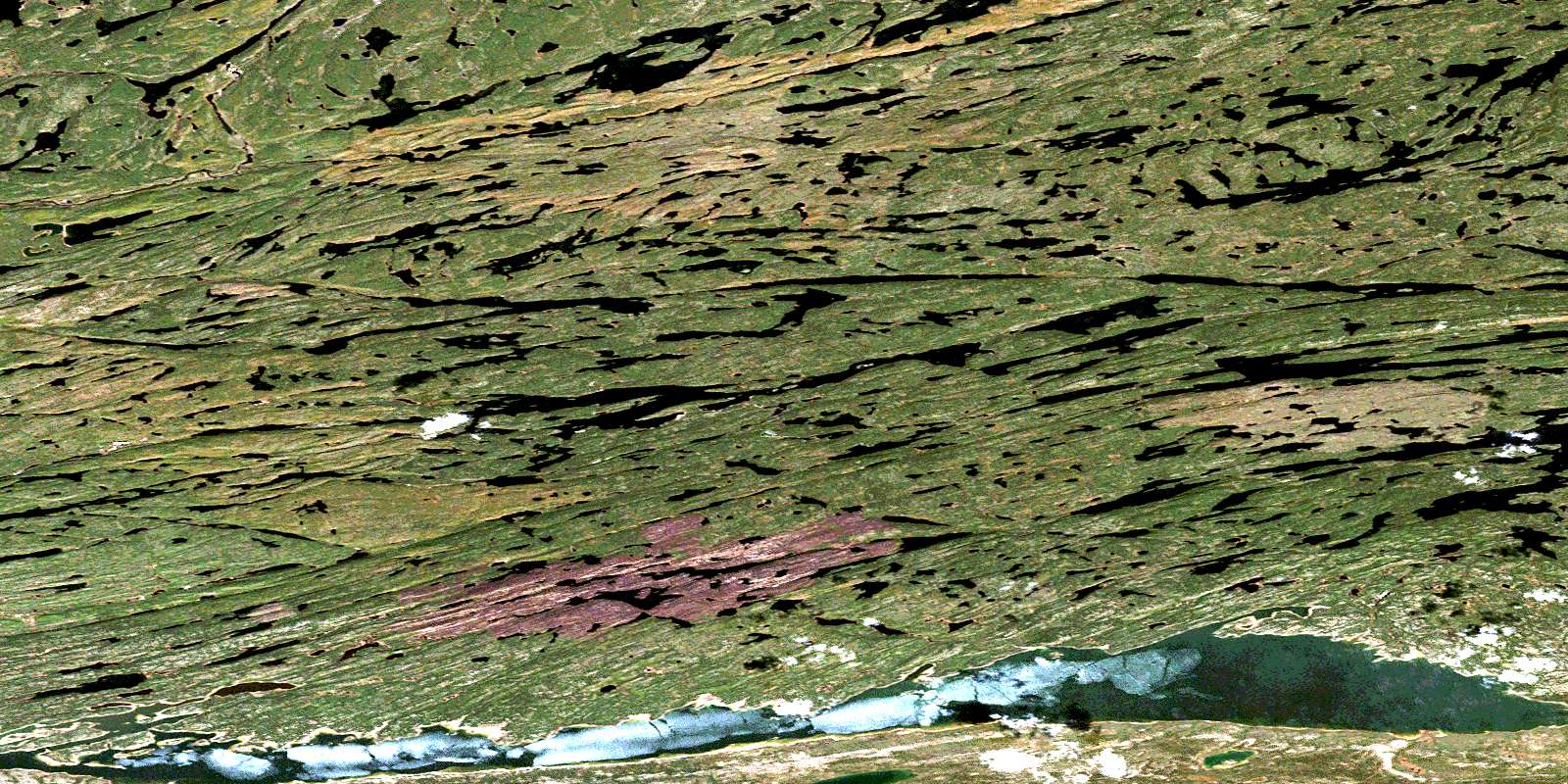
Wiley Lake Satellite Imagery
To view this satellite map, mouse over the air photo on the right.
You can also download this satellite image map for free:
074O08 Wiley Lake high-resolution satellite image map.
Maps for the Wiley Lake aerial map sheet 074O08 at 1:50,000 scale are also available in these versions:
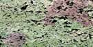
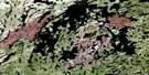
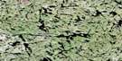
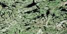
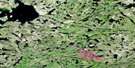
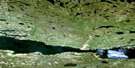
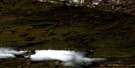
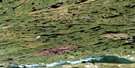
Wiley Lake Surrounding Area Aerial Photo Maps
 |
 |
 |
 |
 |
 |
 |
 |
 |
 |
 |
 |
 |
 |
 |
 |
© Department of Natural Resources Canada. All rights reserved.
Wiley Lake Gazetteer
The following places can be found on satellite image map 074O08 Wiley Lake:
Wiley Lake Satellite Image: Bays
Bell BayCamille Bay
Fond du Lac
Hill Bay
Johnson Bay
Lambert Bay
Mack Bay
McBride Bay
McFarlane Bay
Sciban Bay
Topping Bay
Wiley Lake Satellite Image: Capes
Hill PointMacDonald Point
Wiley Lake Satellite Image: Channels
Pine ChannelWiley Lake Satellite Image: Falls
Hunt FallsMcLeod Falls
Wiley Lake Satellite Image: Islands
Bond IslandHughes Island
Marchant Island
Nelan Island
Wiley Lake Satellite Image: Lakes
Achimoo LakeAshdown Lake
Axis Lake
Bradley Lake
Bryksa Lake
Butula Lake
Cascon Lake
Chambers Lake
Cole Lake
Currie Lake
Eagle Rock Lake
Feist Lake
Harper Lakes
Heard Lake
Hepfner Lake
Heppler Lake
Hunt Lake
Isfan Lake
Janke Lake
Kallichuk Lake
Keil Lake
Kennard Lake
Kosowan Lake
Kostenko Lake
Krysowaty Lake
Lac Athabasca
Lake Athabasca
Landry Lake
Lanegraff Lake
Lariviere Lake
Law Lake
LeBlanc Lake
Littlecrow Lake
McConville Lake
McIver Lake
Meersman Lake
Melby Lake
Melenchuk Lake
Mooney Lake
Munns Lake
Murdock Lake
Neil Lake
Norgang Lake
O'Brien Lake
Rea Lake
Reeve Lake
Schaff Lake
Simons Lake
Smysniuk Lake
Turnbull Lake
Wiley Lake
Woodward Lake
Wiley Lake Satellite Image: Rivers
Fisher CreekFond du Lac River
Fond-du-lac River
George Creek
Gillies Creek
Grease River
King Creek
Larson River
Neufeld Creek
Robillard River
Stone River
Straight River
© Department of Natural Resources Canada. All rights reserved.
074O Related Maps:
074O Fond-Du-Lac074O01 Riou Lake
074O02 Engler Lake
074O03 Richards Lake
074O04 Helmer Lake
074O05 Isle Brochet
074O06 Fond-Du-Lac
074O07 Lowe Lake
074O08 Wiley Lake
074O09 Fontaine Lake
074O10 Oman Lake
074O11 Forsyth Lake
074O12 Nevins Lake
074O13 Dardier Lake
074O14 Carcoux Lake
074O15 Chappuis Lake
074O16 Scott Lake
