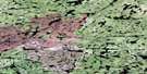
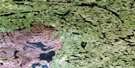
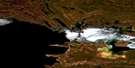
Lowe Lake Satellite Image Map
Download Free Aerial Photo 074O07 at 1:50,000 scale
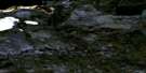
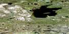
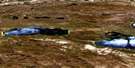
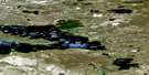
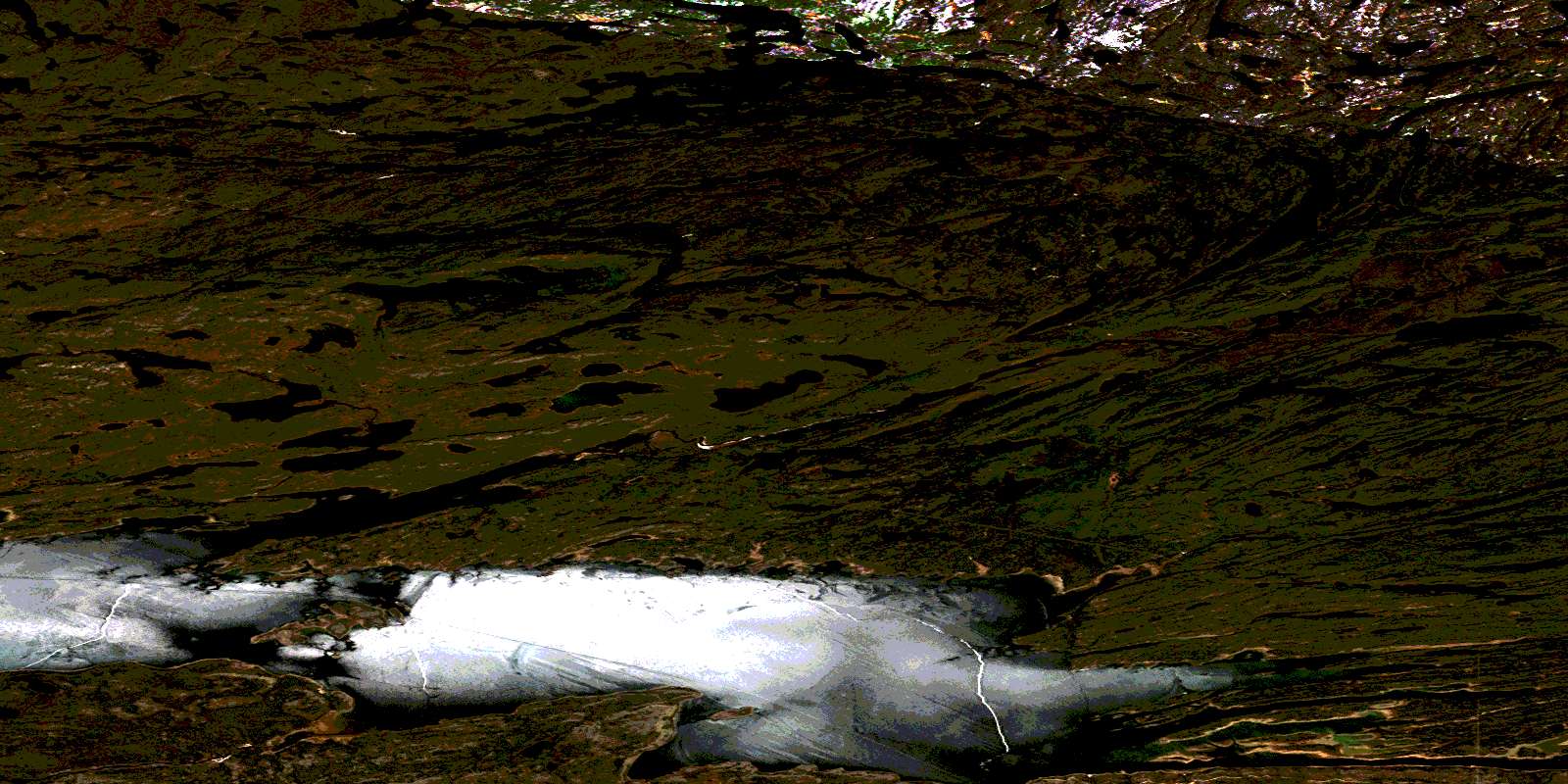
Lowe Lake Satellite Imagery
To view this satellite map, mouse over the air photo on the right.
You can also download this satellite image map for free:
074O07 Lowe Lake high-resolution satellite image map.
Maps for the Lowe Lake aerial map sheet 074O07 at 1:50,000 scale are also available in these versions:
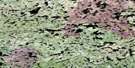
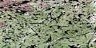
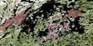
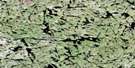
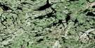
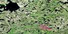
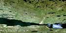
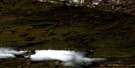
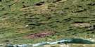
Lowe Lake Surrounding Area Aerial Photo Maps
 |
 |
 |
 |
 |
 |
 |
 |
 |
 |
 |
 |
 |
 |
 |
 |
© Department of Natural Resources Canada. All rights reserved.
Lowe Lake Gazetteer
The following places can be found on satellite image map 074O07 Lowe Lake:
Lowe Lake Satellite Image: Bays
Algold BayDardier Bay
Gormican Bay
Grease Bay
Inge Bay
Norite Bay
Otherside Bay
Robillard Bay
Shasko Bay
Shea Bay
Stuart Bay
Sucker Bay
Terry Bay
Thicke Bay
Lowe Lake Satellite Image: Capes
Armstrong PointBolster Peninsula
Campbell Point
Channel Point
Mealing Point
Stoll Point
Tyrrell Point
Lowe Lake Satellite Image: Channels
Pine ChannelLowe Lake Satellite Image: Falls
McDonald FallsLowe Lake Satellite Image: Indian Reserves
Fond du Lac 227Lowe Lake Satellite Image: Islands
Bond IslandDardier Island
Evans Island
Hanson Island
Olson Island
Thomson Island
Lowe Lake Satellite Image: Lakes
Bates LakeBrager Lake
Dunae Lake
English Lake
Harvey Lake
Hinchcliffe Lakes
Igloo Lake
Kowbel Lake
Lac Athabasca
Lake Athabasca
Lowe Lake
Lynds Lake
Maguire Lake
Malinoski Lake
McCombie Lake
McNair Lake
Megaffin Lake
Melby Lake
Melenchuk Lake
Peddie Lake
Rayner Lake
Rehill Lake
Riesen Lake
Rosie Lake
Sayer Lake
Schaff Lake
Schull Lake
Shannon Lake
Simpson Lake
Sinclair Lakes
Spence Lake
Stolar Lake
Storozuk Lake
Stratychuk Lake
Strong Lake
Talkington Lake
Tederoff Lake
Temple Lake
Thicke Lake
Todos Lake
Tolver Lake
Trithart Lake
Turcotte Lake
Vallance Lake
Vincent Lake
Vossen Lake
Lowe Lake Satellite Image: Rapids
Girard RapidsGrease Rapids
Warwick Rapids
Lowe Lake Satellite Image: Rivers
Bulyea RiverFisher Creek
Grease River
Otherside River
Robillard River
Smith River
© Department of Natural Resources Canada. All rights reserved.
074O Related Maps:
074O Fond-Du-Lac074O01 Riou Lake
074O02 Engler Lake
074O03 Richards Lake
074O04 Helmer Lake
074O05 Isle Brochet
074O06 Fond-Du-Lac
074O07 Lowe Lake
074O08 Wiley Lake
074O09 Fontaine Lake
074O10 Oman Lake
074O11 Forsyth Lake
074O12 Nevins Lake
074O13 Dardier Lake
074O14 Carcoux Lake
074O15 Chappuis Lake
074O16 Scott Lake
