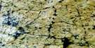
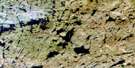
Ford Falls Satellite Image Map
Download Free Aerial Photo 075P10 at 1:50,000 scale
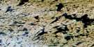
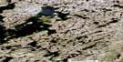
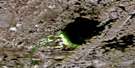
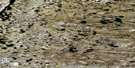
Ford Falls Satellite Imagery
To view this satellite map, mouse over the air photo on the right.
You can also download this satellite image map for free:
075P10 Ford Falls high-resolution satellite image map.
Maps for the Ford Falls aerial map sheet 075P10 at 1:50,000 scale are also available in these versions:
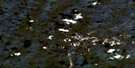
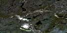
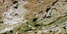
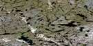
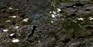
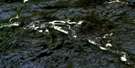
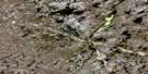
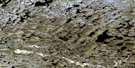
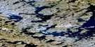
Ford Falls Surrounding Area Aerial Photo Maps
 |
 |
 |
 |
 |
 |
 |
 |
 |
 |
 |
 |
 |
 |
 |
 |
© Department of Natural Resources Canada. All rights reserved.
Ford Falls Gazetteer
The following places can be found on satellite image map 075P10 Ford Falls:
Ford Falls Satellite Image: Falls
Ford FallsHelen Falls
Ford Falls Satellite Image: Lakes
Radford LakeSteel Lake
Ford Falls Satellite Image: Conservation areas
Thelon Game SanctuaryFord Falls Satellite Image: Rivers
Hanbury RiverRadford River
Thelon River
Ford Falls Satellite Image: Valleys
Dickson Canyon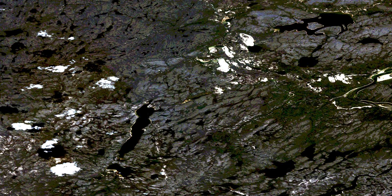
© Department of Natural Resources Canada. All rights reserved.
075P Related Maps:
075P Hanbury River075P01 No Title
075P02 Eyeberry Lake
075P03 No Title
075P04 Tyrrell Lake
075P05 Radford Lake
075P06 Street Lake
075P07 No Title
075P08 Coldblow Lake
075P09 The Gap
075P10 Ford Falls
075P11 Hoare Lake
075P12 Hanbury Lake
075P13 Maze Lake
075P14 No Title
075P15 Macdonald Falls
075P16 Axecut Lake
