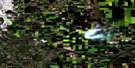
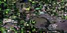
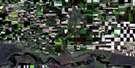
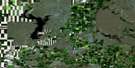
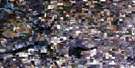
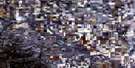
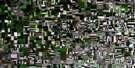
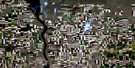
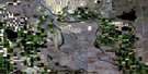
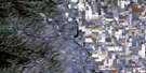
Scandia Satellite Image Map
Download Free Aerial Photo 082I08 at 1:50,000 scale
Scandia Satellite Imagery
To view this satellite map, mouse over the air photo on the right.
You can also download this satellite image map for free:
082I08 Scandia high-resolution satellite image map.
Maps for the Scandia aerial map sheet 082I08 at 1:50,000 scale are also available in these versions:
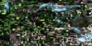
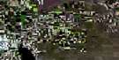
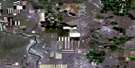
Scandia Surrounding Area Aerial Photo Maps
 |
 |
 |
 |
 |
 |
 |
 |
 |
 |
 |
 |
 |
 |
 |
 |
© Department of Natural Resources Canada. All rights reserved.
Scandia Gazetteer
The following places can be found on satellite image map 082I08 Scandia:
Scandia Satellite Image: Islands
Grassy IslandScandia Satellite Image: Lakes
Badger LakeLonesome Lake
Scandia Satellite Image: Major municipal/district area - major agglomerations
County of Newell No. 4County of Vulcan No. 2
Vulcan County
Scandia Satellite Image: Rivers
Bow RiverScandia Satellite Image: Unincorporated areas
Badger LakeBow City
Eyremore
Kitsim
Rainier
Riverbow
Scandia
Wheat Centre
Scandia Satellite Image: Valleys
Scandia Draw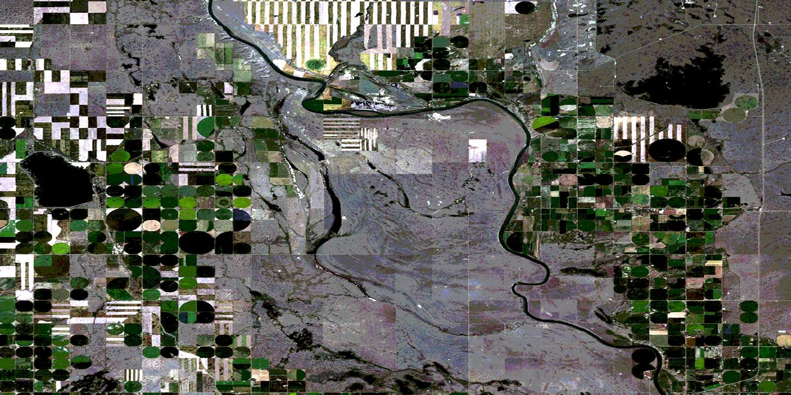
© Department of Natural Resources Canada. All rights reserved.
