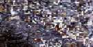
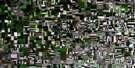
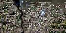
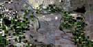
Claresholm Satellite Image Map
Download Free Aerial Photo 082I04 at 1:50,000 scale
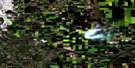
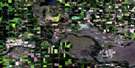
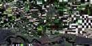
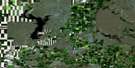
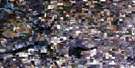
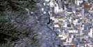
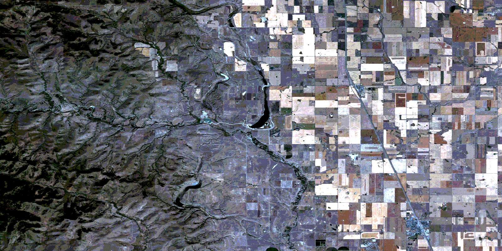
Claresholm Satellite Imagery
To view this satellite map, mouse over the air photo on the right.
You can also download this satellite image map for free:
082I04 Claresholm high-resolution satellite image map.
Maps for the Claresholm aerial map sheet 082I04 at 1:50,000 scale are also available in these versions:
Claresholm Surrounding Area Aerial Photo Maps
 |
 |
 |
 |
 |
 |
 |
 |
 |
 |
 |
 |
 |
 |
 |
 |
© Department of Natural Resources Canada. All rights reserved.
Claresholm Gazetteer
The following places can be found on satellite image map 082I04 Claresholm:
Claresholm Satellite Image: Lakes
CanonLakeCanyon Lake
Crescent Lake
Crocodile Lake
Claresholm Satellite Image: Mountains
Porcupine HillsRocky Mountain Foothills
Table Butte
Claresholm Satellite Image: Major municipal/district area - major agglomerations
Municipal District of Willow Creek No. 26Claresholm Satellite Image: Conservation areas
Willow Creek Provincial ParkClaresholm Satellite Image: Rivers
Clear BrookJohnson Creek
Kuntz Creek
Lane Creek
Lyndon Creek
Mosquito Creek
Oxley Creek
Pine Creek
Quail Creek
Willow Creek
Claresholm Satellite Image: Towns
ClaresholmStavely
Claresholm Satellite Image: Unincorporated areas
BlacktailLyndon
Pulteney
Claresholm Satellite Image: Valleys
Blacktail CouleeBoneyard Coulee
Hillside Coulee
Kohler Coulee
Pine Coulee
Quail Coulee
© Department of Natural Resources Canada. All rights reserved.
