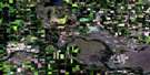
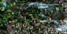
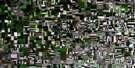
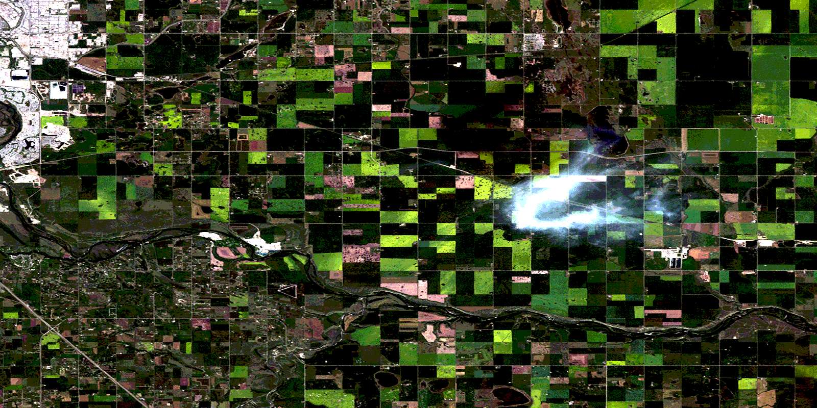
Dalemead Satellite Image Map
Download Free Aerial Photo 082I13 at 1:50,000 scale
Dalemead Satellite Imagery
To view this satellite map, mouse over the air photo on the right.
You can also download this satellite image map for free:
082I13 Dalemead high-resolution satellite image map.
Maps for the Dalemead aerial map sheet 082I13 at 1:50,000 scale are also available in these versions:
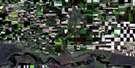
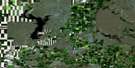
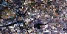
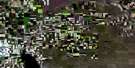
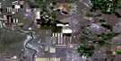
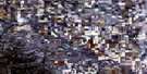
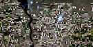
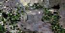
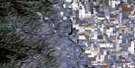
Dalemead Surrounding Area Aerial Photo Maps
 |
 |
 |
 |
 |
 |
 |
 |
 |
 |
 |
 |
 |
 |
 |
 |
© Department of Natural Resources Canada. All rights reserved.
Dalemead Gazetteer
The following places can be found on satellite image map 082I13 Dalemead:
Dalemead Satellite Image: City
CalgaryDalemead Satellite Image: Lakes
Blizzard LakeDalemead Lake
Third Lake
Weed Lake
Dalemead Satellite Image: Mountains
Carcass HillDalemead Satellite Image: Major municipal/district area - major agglomerations
Municipal District of Foothills No. 31Municipal District of Rocky View No. 44
Rocky View County
Wheatland County
Dalemead Satellite Image: Conservation areas
Fish Creek Provincial ParkSt. Joseph's Industrial School Provincial Historic Site (Undeveloped)
Dalemead Satellite Image: Rivers
Bow RiverHighwood River
Pine Creek
Dalemead Satellite Image: Unincorporated areas
BennettDalemead
Deer Run
Douglas Glen
Douglasdale Estates
Indus
Langdon
MacKenzie Lake
McKenzie Towne
Ogden
Ogden
Shepard
© Department of Natural Resources Canada. All rights reserved.
