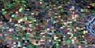
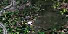
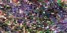
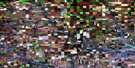
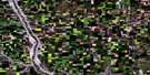
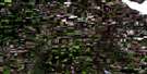
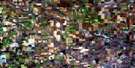
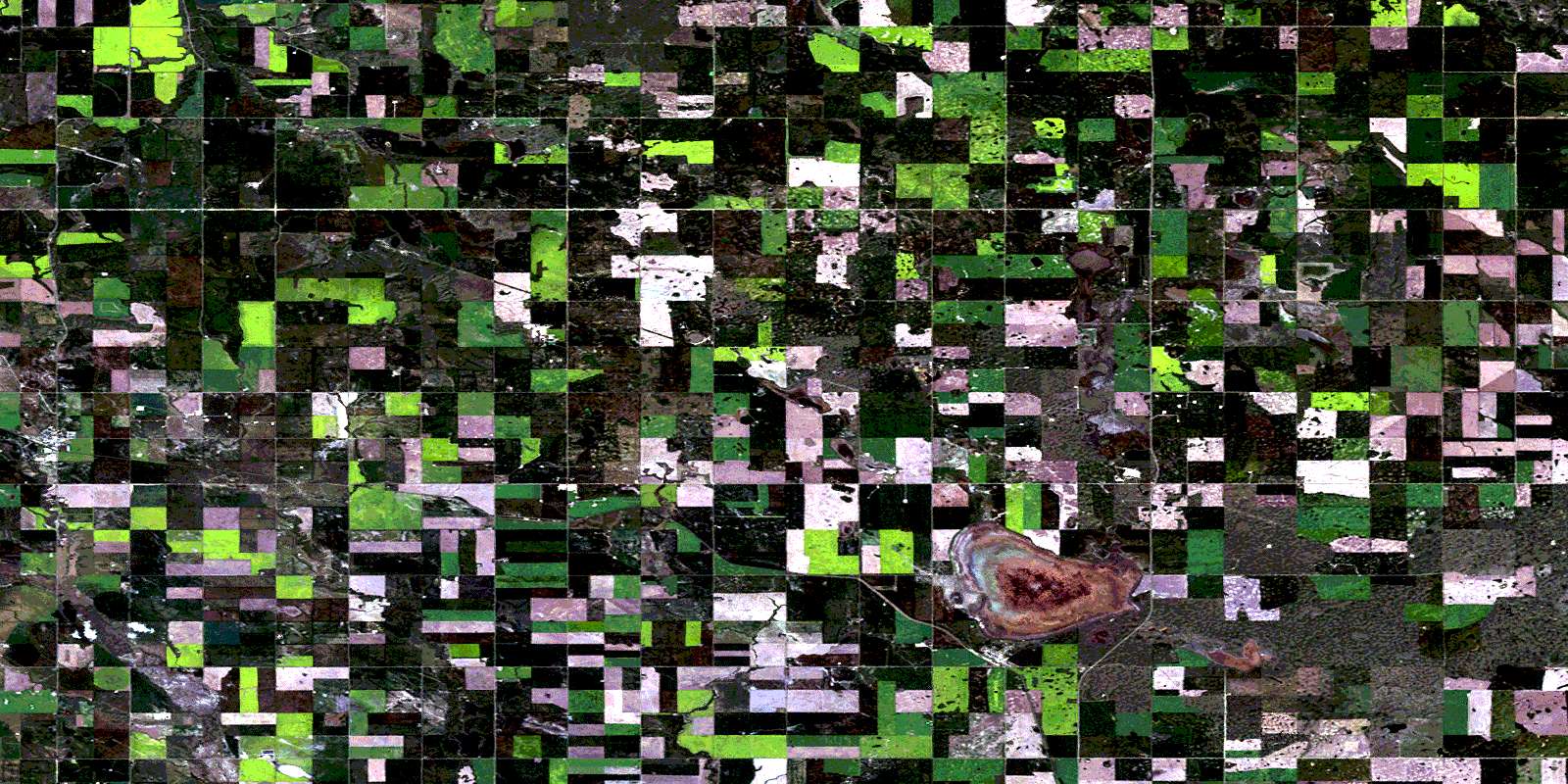
Hussar Satellite Image Map
Download Free Aerial Photo 082P02 at 1:50,000 scale
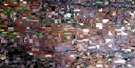
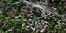
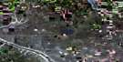
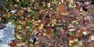
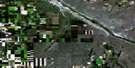
Hussar Satellite Imagery
To view this satellite map, mouse over the air photo on the right.
You can also download this satellite image map for free:
082P02 Hussar high-resolution satellite image map.
Maps for the Hussar aerial map sheet 082P02 at 1:50,000 scale are also available in these versions:
Hussar Surrounding Area Aerial Photo Maps
 |
 |
 |
 |
 |
 |
 |
 |
 |
 |
 |
 |
 |
 |
 |
 |
© Department of Natural Resources Canada. All rights reserved.
Hussar Gazetteer
The following places can be found on satellite image map 082P02 Hussar:
Hussar Satellite Image: Lakes
Deadhorse LakeHussar Satellite Image: Mountains
Wintering HillsHussar Satellite Image: Major municipal/district area - major agglomerations
County of Newell No. 4County of Wheatland No. 16
Wheatland County
Hussar Satellite Image: Rivers
Deadhorse CreekParflesh Creek
Rosebud Creek
Seiu Creek
Severn Creek
Hussar Satellite Image: Unincorporated areas
ChancellorHussar Satellite Image: Villages
HussarStandard
© Department of Natural Resources Canada. All rights reserved.
