Nordegg River Satellite Image Map
Download Free Aerial Photo 083B13 at 1:50,000 scale
Nordegg River Satellite Imagery
To view this satellite map, mouse over the air photo on the right.
You can also download this satellite image map for free:
083B13 Nordegg River high-resolution satellite image map.
Maps for the Nordegg River aerial map sheet 083B13 at 1:50,000 scale are also available in these versions:
Nordegg River Surrounding Area Aerial Photo Maps
 |
 |
 |
 |
 |
 |
 |
 |
 |
 |
 |
 |
 |
 |
 |
 |
© Department of Natural Resources Canada. All rights reserved.
Nordegg River Gazetteer
The following places can be found on satellite image map 083B13 Nordegg River:
Nordegg River Satellite Image: Lakes
Brazeau ReservoirNordegg River Satellite Image: Mountains
Rocky Mountain FoothillsNordegg River Satellite Image: Major municipal/district area - major agglomerations
Brazeau CountyClearwater County
Municipal District of Brazeau No. 77
Municipal District of Clearwater No. 99
Municipal District of Yellowhead No. 94
Yellowhead County
Nordegg River Satellite Image: Other municipal/district area - miscellaneous
Yellowhead Improvement District No. 14Nordegg River Satellite Image: Rivers
Brazeau CanalBrazeau River
Elk River
Nordegg River
Sylvester Creek
Nordegg River Satellite Image: Unincorporated areas
Brazeau Dam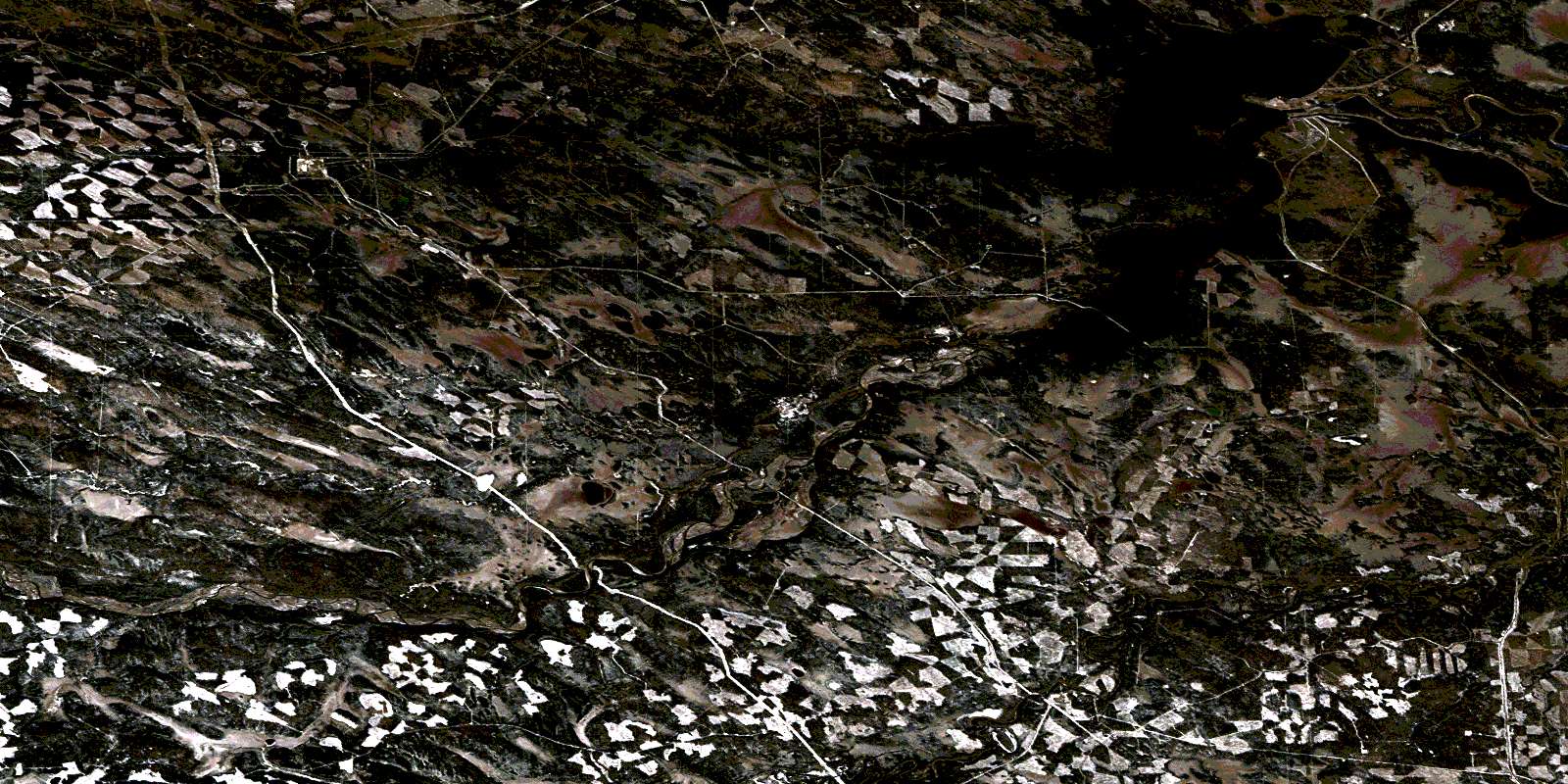
© Department of Natural Resources Canada. All rights reserved.
083B Related Maps:
083B Rocky Mountain House083B01 Markerville
083B02 Caroline
083B03 Tay River
083B04 Elk Creek
083B05 Saunders
083B06 Crimson Lake
083B07 Rocky Mountain House
083B08 Sylvan Lake
083B09 Rimbey
083B10 Carlos
083B11 Baptiste River
083B12 Harlech
083B13 Nordegg River
083B14 Brazeau Forks
083B15 Buck Lake
083B16 Winfield
