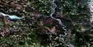
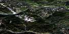
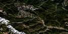
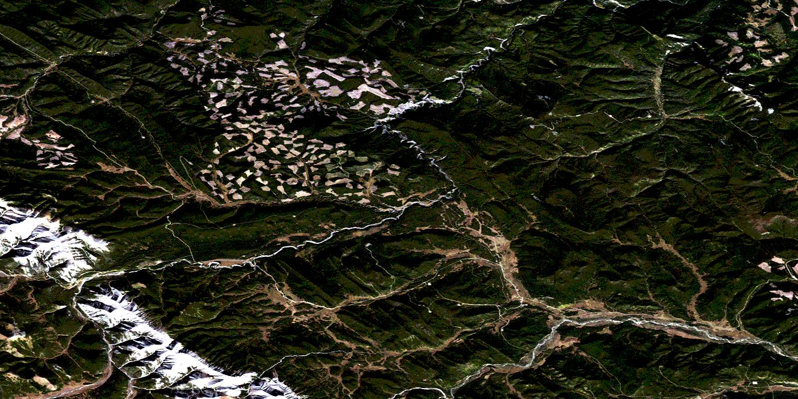
Elk Creek Satellite Image Map
Download Free Aerial Photo 083B04 at 1:50,000 scale
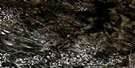
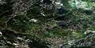
Elk Creek Satellite Imagery
To view this satellite map, mouse over the air photo on the right.
You can also download this satellite image map for free:
083B04 Elk Creek high-resolution satellite image map.
Maps for the Elk Creek aerial map sheet 083B04 at 1:50,000 scale are also available in these versions:
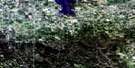
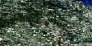
Elk Creek Surrounding Area Aerial Photo Maps
 |
 |
 |
 |
 |
 |
 |
 |
 |
 |
 |
 |
 |
 |
 |
 |
© Department of Natural Resources Canada. All rights reserved.
Elk Creek Gazetteer
The following places can be found on satellite image map 083B04 Elk Creek:
Elk Creek Satellite Image: Falls
Ram FallsElk Creek Satellite Image: Lakes
Peppers LakeElk Creek Satellite Image: Mountains
Idlewilde MountainRam Range
Rocky Mountain Foothills
Elk Creek Satellite Image: Major municipal/district area - major agglomerations
Clearwater CountyMunicipal District of Clearwater No. 99
Elk Creek Satellite Image: Conservation areas
Ram Falls Provincial ParkElk Creek Satellite Image: Rivers
Canary CreekClearwater River
Crescent Creek
Cripple Creek
Cutoff Creek
Elk Creek
Fall Creek
Gloomy Creek
Hummingbird Creek
Idlewilde Creek
Lick Creek
Lynx Creek
Mink River
North Ram River
Otter Creek
Peppers Creek
Pinto Creek
Prairie Creek
Radiant Creek
Ram Creek
Ram River
Ranger Creek
Side Creek
Tay River
Washout Creek
© Department of Natural Resources Canada. All rights reserved.
083B Related Maps:
083B Rocky Mountain House083B01 Markerville
083B02 Caroline
083B03 Tay River
083B04 Elk Creek
083B05 Saunders
083B06 Crimson Lake
083B07 Rocky Mountain House
083B08 Sylvan Lake
083B09 Rimbey
083B10 Carlos
083B11 Baptiste River
083B12 Harlech
083B13 Nordegg River
083B14 Brazeau Forks
083B15 Buck Lake
083B16 Winfield
