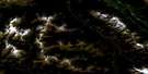
Canoe Mountain Satellite Image Map
Download Free Aerial Photo 083D11 at 1:50,000 scale
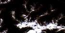
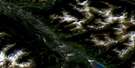
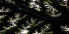
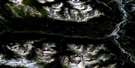
Canoe Mountain Satellite Imagery
To view this satellite map, mouse over the air photo on the right.
You can also download this satellite image map for free:
083D11 Canoe Mountain high-resolution satellite image map.
Maps for the Canoe Mountain aerial map sheet 083D11 at 1:50,000 scale are also available in these versions:
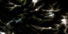
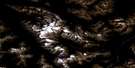
Canoe Mountain Surrounding Area Aerial Photo Maps
 |
 |
 |
 |
 |
 |
 |
 |
 |
 |
 |
 |
 |
 |
 |
 |
© Department of Natural Resources Canada. All rights reserved.
Canoe Mountain Gazetteer
The following places can be found on satellite image map 083D11 Canoe Mountain:
Canoe Mountain Satellite Image: Glaciers
Kimmel GlacierCanoe Mountain Satellite Image: Lakes
Albreda LakeBeaverpelt Lake
Kinbasket Lake
Canoe Mountain Satellite Image: Mountains
Canoe MountainCariboo Mountains
Columbia Mountains
Malton Range
Monashee Mountains
Mount John Diefenbaker
Mount Kimmel
Mount Lulu
Mount Milton
Mount Sir Allan MacNab
Mount Thompson
Park Ranges
Premier Range
Selwyn Range
Canoe Mountain Satellite Image: Major municipal/district area - major agglomerations
Cariboo Regional DistrictRegional District of Fraser-Fort George
Canoe Mountain Satellite Image: Rapids
Yellowjacket RapidsCanoe Mountain Satellite Image: Rivers
Adolph CreekAlbreda River
Allan Creek
Blackmore Creek
Camp Creek
Canoe River
Clemina Creek
Dave Henry Creek
Davehenry Creek
Dora Creek
Glacier Creek
Gold Creek
Horse Creek
Kimmel Creek
Manteau Creek
North Thompson River
Oasis Creek
Pleasant Creek
Robina Creek
Yellowjacket Creek
Canoe Mountain Satellite Image: River features
Canoe ReachCanoe Mountain Satellite Image: Unincorporated areas
AlbredaBoat Encampment
Canoe River
Clemina
Clemina East
Clemina West
Canoe Mountain Satellite Image: Valleys
Rocky Mountain Trench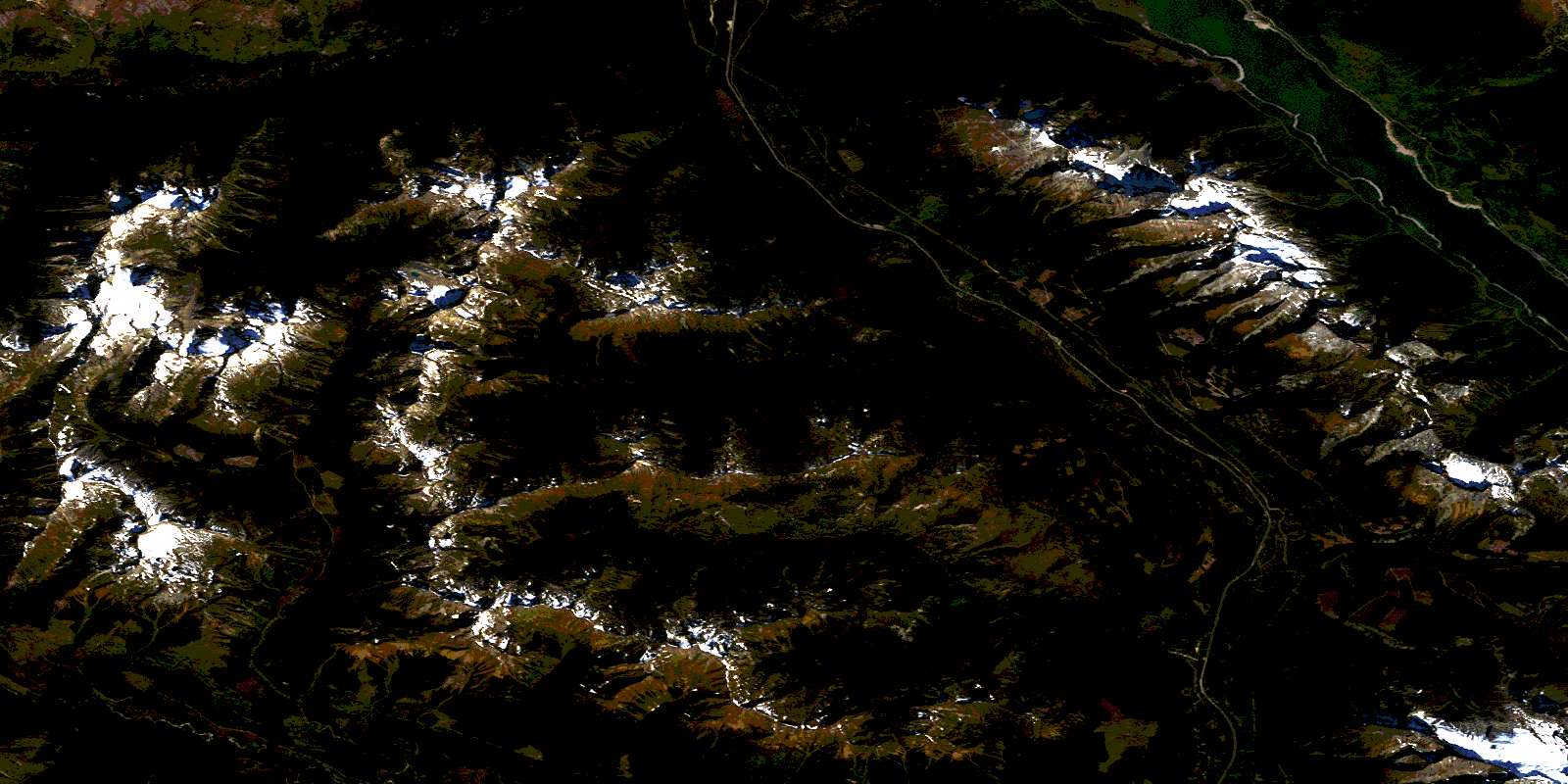
© Department of Natural Resources Canada. All rights reserved.
083D Related Maps:
083D Canoe River083D01 Wood Arm
083D02 Nagle Creek
083D03 Blue River
083D04 Murtle Lake
083D05 Angus Horne Lake
083D06 Lempriere
083D07 Howard Creek
083D08 Athabasca Pass
083D09 Amethyst Lakes
083D10 Ptarmigan Creek
083D11 Canoe Mountain
083D12 Azure River
083D13 Kiwa Creek
083D14 Valemount
083D15 Lucerne
083D16 Jasper
