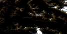
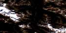
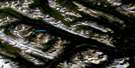
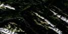
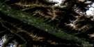
Dry Canyon Satellite Image Map
Download Free Aerial Photo 083E13 at 1:50,000 scale
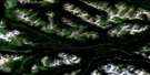
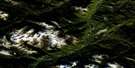
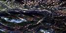
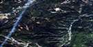
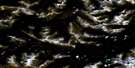
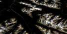
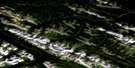
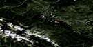
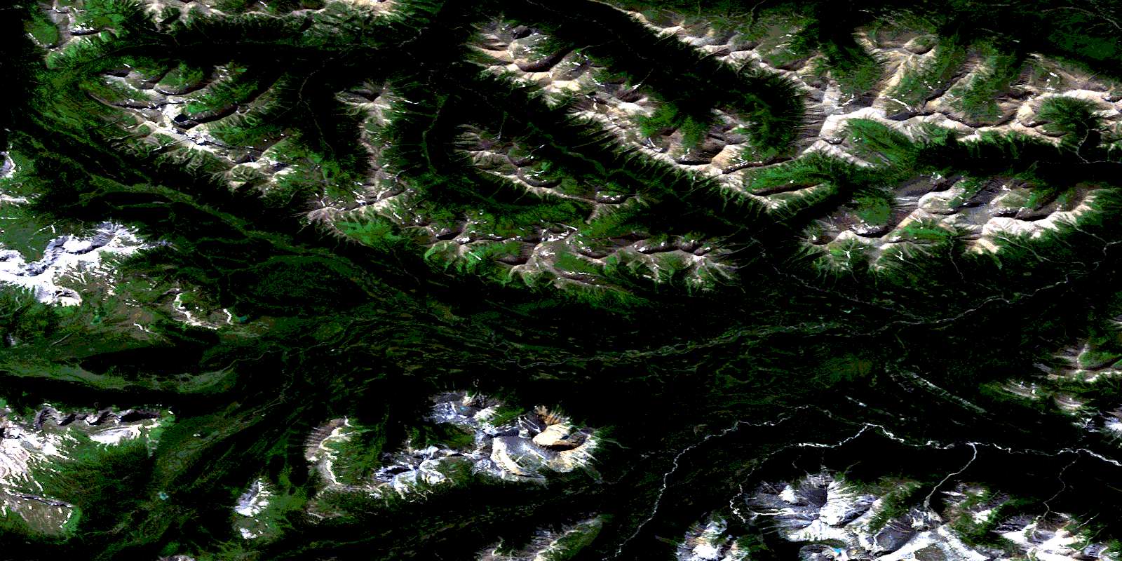
Dry Canyon Satellite Imagery
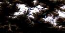
To view this satellite map, mouse over the air photo on the right.
You can also download this satellite image map for free:
083E13 Dry Canyon high-resolution satellite image map.
Maps for the Dry Canyon aerial map sheet 083E13 at 1:50,000 scale are also available in these versions:
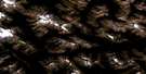
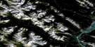
Dry Canyon Surrounding Area Aerial Photo Maps
 |
 |
 |
 |
 |
 |
 |
 |
 |
 |
 |
 |
 |
 |
 |
 |
© Department of Natural Resources Canada. All rights reserved.
Dry Canyon Gazetteer
The following places can be found on satellite image map 083E13 Dry Canyon:
Dry Canyon Satellite Image: Lakes
Casket LakeDry Canyon Satellite Image: Mountains
Casket MountainIntersection Mountain
Intersection Mountain
La Crèche Mountain
Montagnes Rocheuses
Montagnes Rocheuses
Mount Côté
Mount Côté
Park Ranges
Rim Ridge
Rocky Mountains
Rocky Mountains
Turret Ridge
Dry Canyon Satellite Image: Major municipal/district area - major agglomerations
Cariboo Regional DistrictMunicipal District of Greenview No. 16
Regional District of Fraser-Fort George
Dry Canyon Satellite Image: Other municipal/district area - miscellaneous
Improvement District No. 25Dry Canyon Satellite Image: Conservation areas
Willmore Wilderness Provincial ParkDry Canyon Satellite Image: Rivers
Bear CreekCasket Creek
Famm Creek
Fetherstonhaugh Creek
Forgetmenot Creek
Glacier Creek
Haight Creek
Horn Creek
Llama Creek
Muddywater River
Narrow Creek
Putzy Creek
Sheep Creek
South Kakwa River
Swift Creek
Trench Creek
Dry Canyon Satellite Image: Road features
Dry Canyon TrailSheep Creek Trail
Dry Canyon Satellite Image: Valleys
Casket PassCasket Pass
Copton Pass
Dry Canyon
Forgetmenot Pass
Forgetmenot Pass
Paradise Basin
© Department of Natural Resources Canada. All rights reserved.
083E Related Maps:
083E Mount Robson083E01 Snaring River
083E02 Resplendent Creek
083E03 Mount Robson
083E04 Croyden
083E05 Chalco Mountain
083E06 Twintree Lake
083E07 Blue Creek
083E08 Rock Lake
083E09 Moberly Creek
083E10 Adams Lookout
083E11 Hardscrabble Creek
083E12 Pauline Creek
083E13 Dry Canyon
083E14 Grande Cache
083E15 Pierre Greys Lakes
083E16 Donald Flats
