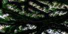
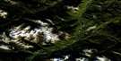
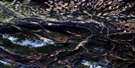
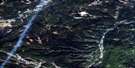
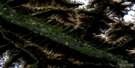
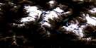
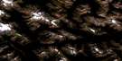
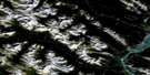
Blue Creek Satellite Image Map
Download Free Aerial Photo 083E07 at 1:50,000 scale
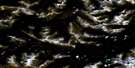
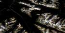
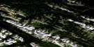
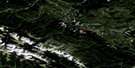
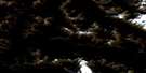
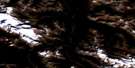
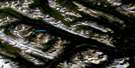
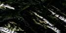
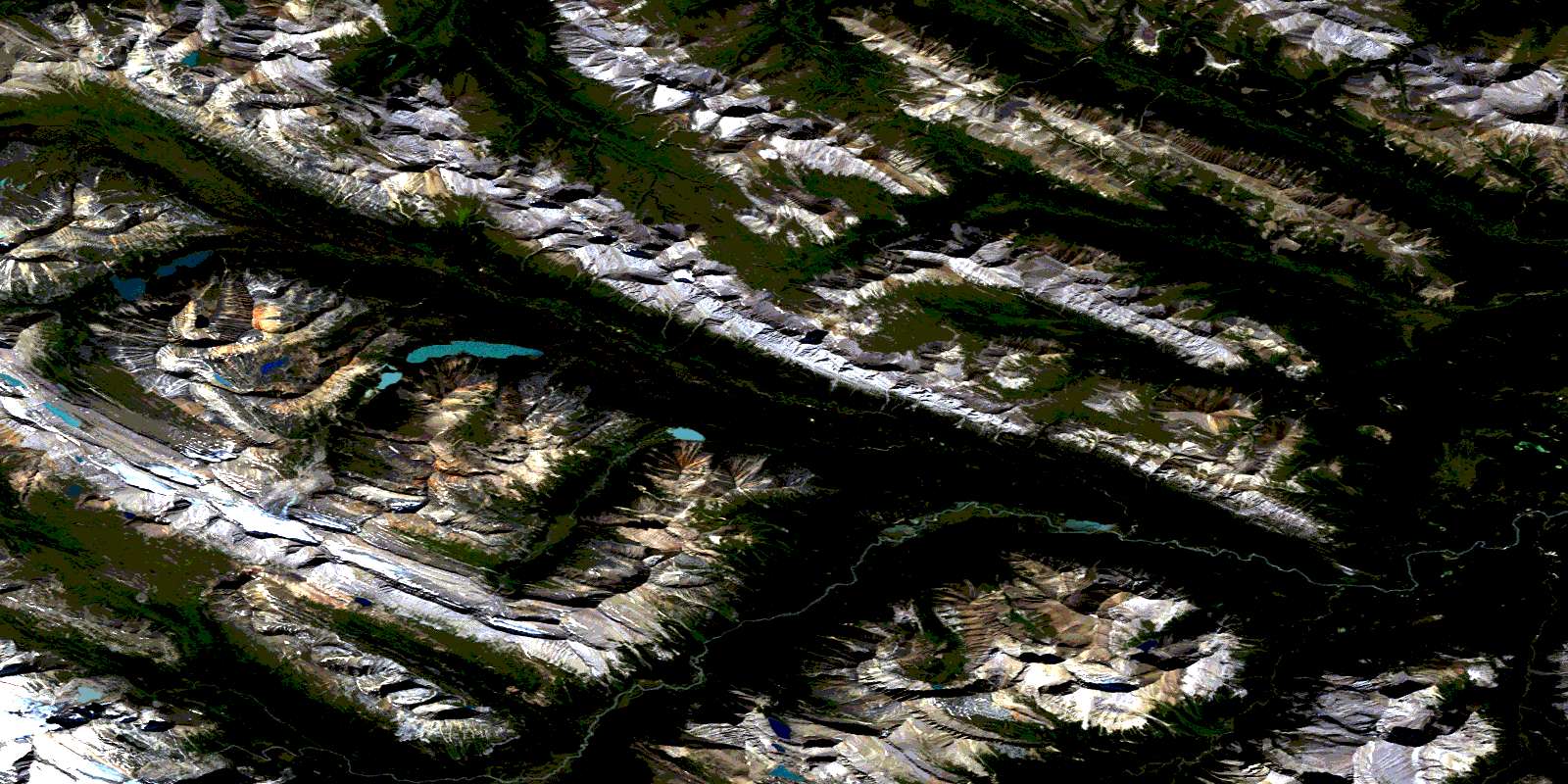
Blue Creek Satellite Imagery
To view this satellite map, mouse over the air photo on the right.
You can also download this satellite image map for free:
083E07 Blue Creek high-resolution satellite image map.
Maps for the Blue Creek aerial map sheet 083E07 at 1:50,000 scale are also available in these versions:
Blue Creek Surrounding Area Aerial Photo Maps
 |
 |
 |
 |
 |
 |
 |
 |
 |
 |
 |
 |
 |
 |
 |
 |
© Department of Natural Resources Canada. All rights reserved.
Blue Creek Gazetteer
The following places can be found on satellite image map 083E07 Blue Creek:
Blue Creek Satellite Image: Capes
The Natural ArchBlue Creek Satellite Image: Cliffs
Brewster's WallBlue Creek Satellite Image: Lakes
Azure LakeBlue Lake
Dolly Lakes
Topaz Lake
Blue Creek Satellite Image: Mountains
Arcturus PeakMont Percé
Montagnes Rocheuses
Monte Cristo Mountain
Mount Kelsey
Mount Simla
Noonday Peak
Persimmon Range
Rocky Mountains
Sirius Peak
Snake Indian Mountain
Starlight Range
Sunset Peak
The Ancient Wall
The Quoin
The Rajah
Vega Peak
Blue Creek Satellite Image: Other municipal/district area - miscellaneous
Improvement District No. 12Improvement District No. 25
Yellowhead Improvement District No. 14
Blue Creek Satellite Image: Conservation areas
Jasper National Park of CanadaParc national du Canada Jasper
Willmore Wilderness Provincial Park
Blue Creek Satellite Image: Rivers
Blue CreekDeer Creek
Deer Creek
Eagles Nest Creek
Mowitch Creek
Rock Creek
Snake Indian River
South Sulphur River
Twintree Creek
West Sulphur River
Blue Creek Satellite Image: Road features
Deer Creek TrailEagles Nest Trail
Glacier Pass Trail
Grave Flats Trail
Hardscrabble Trail
Monoghan Creek Trail
Mountain Trail
West Sulphur Trail
Blue Creek Satellite Image: Valleys
Byng PassEagles Nest Pass
Glacier Pass
Snake Indian Pass
© Department of Natural Resources Canada. All rights reserved.
083E Related Maps:
083E Mount Robson083E01 Snaring River
083E02 Resplendent Creek
083E03 Mount Robson
083E04 Croyden
083E05 Chalco Mountain
083E06 Twintree Lake
083E07 Blue Creek
083E08 Rock Lake
083E09 Moberly Creek
083E10 Adams Lookout
083E11 Hardscrabble Creek
083E12 Pauline Creek
083E13 Dry Canyon
083E14 Grande Cache
083E15 Pierre Greys Lakes
083E16 Donald Flats
