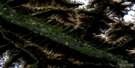
Moberly Creek Satellite Image Map
Download Free Aerial Photo 083E09 at 1:50,000 scale
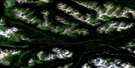
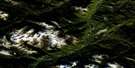
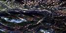
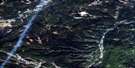
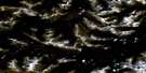
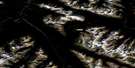
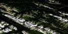
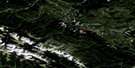
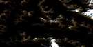
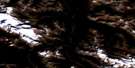
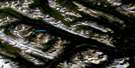
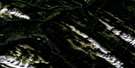
Moberly Creek Satellite Imagery
To view this satellite map, mouse over the air photo on the right.
You can also download this satellite image map for free:
083E09 Moberly Creek high-resolution satellite image map.
Maps for the Moberly Creek aerial map sheet 083E09 at 1:50,000 scale are also available in these versions:
Moberly Creek Surrounding Area Aerial Photo Maps
 |
 |
 |
 |
 |
 |
 |
 |
 |
 |
 |
 |
 |
 |
 |
 |
© Department of Natural Resources Canada. All rights reserved.
Moberly Creek Gazetteer
The following places can be found on satellite image map 083E09 Moberly Creek:
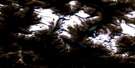
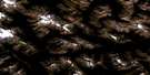
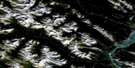
Moberly Creek Satellite Image: Mountains
Berland RangeBury Ridge
Hoff Range
Hoff Ridge
Mount Bazalgette
Mount Campion
Mount De Wind
Mount Gaunce
Mount Harvey
Mount Hunter
Mount Laut
Mount Swensen
Rocky Mountain Foothills
Rocky Mountains
Tip Top Ridge
Zebra Mountain
Moberly Creek Satellite Image: Major municipal/district area - major agglomerations
Municipal District of Yellowhead No. 94Yellowhead County
Moberly Creek Satellite Image: Other municipal/district area - miscellaneous
Improvement District No. 25Moberly Creek Satellite Image: Conservation areas
Willmore Wilderness Provincial ParkMoberly Creek Satellite Image: Rivers
Berland RiverBroad Creek
Carson Creek
Collie Creek
Crescent Creek
Doctor Creek
Evan's Creek
Fault Creek
Forty-one Mile Creek
Fox Creek
Fred Creek
Hightower Creek
Jackson Creek
Little Berland River
Moberly Creek
Moon Creek
Mumm Creek
Pinto Creek
Planet Creek
Seep Creek
Stalk Creek
Star Creek
Teitge Creek
Thoreau Creek
Wildcat Creek
Wildhay River
Moberly Creek Satellite Image: Road features
Berland River TrailCollie Creek Trail
Deer Creek Trail
Donald Flats
Eagles Nest Trail
Evans Trail
Grave Flats Trail
Moosehorn Trail
Mountain Trail
Mumm Creek Trail
Pope Creek Trail
Pope-Thoreau Trail
Moberly Creek Satellite Image: Unincorporated areas
Hanlon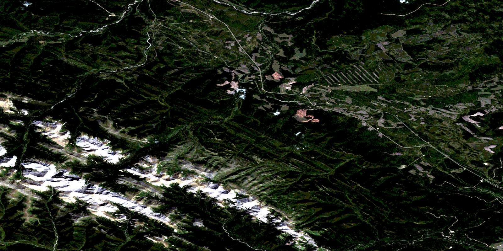
© Department of Natural Resources Canada. All rights reserved.
083E Related Maps:
083E Mount Robson083E01 Snaring River
083E02 Resplendent Creek
083E03 Mount Robson
083E04 Croyden
083E05 Chalco Mountain
083E06 Twintree Lake
083E07 Blue Creek
083E08 Rock Lake
083E09 Moberly Creek
083E10 Adams Lookout
083E11 Hardscrabble Creek
083E12 Pauline Creek
083E13 Dry Canyon
083E14 Grande Cache
083E15 Pierre Greys Lakes
083E16 Donald Flats
