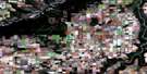
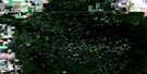
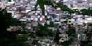
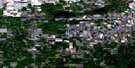
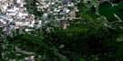
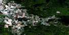
High Prairie Satellite Image Map
Download Free Aerial Photo 083N08 at 1:50,000 scale
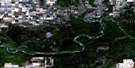
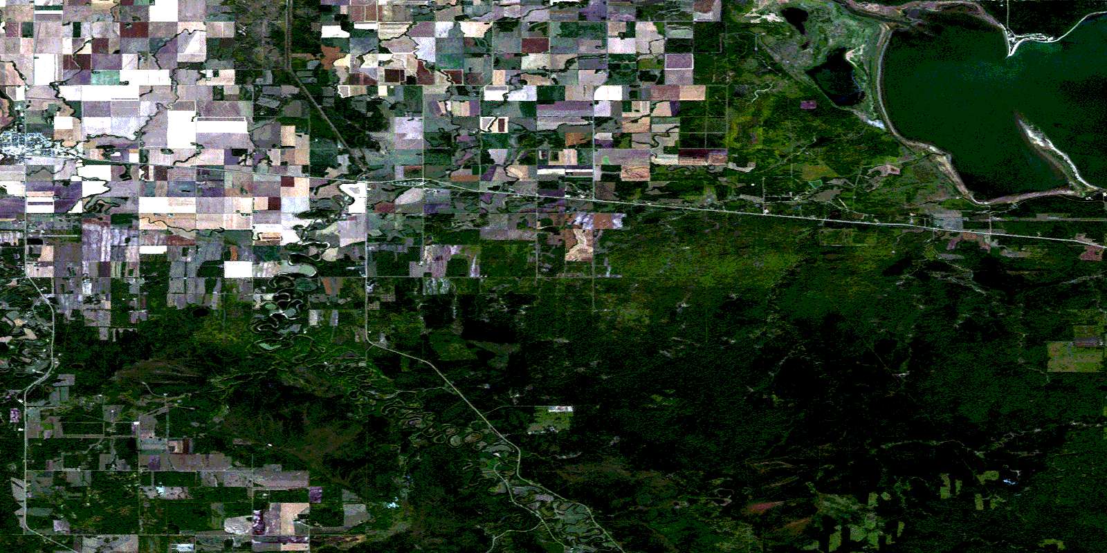
High Prairie Satellite Imagery
To view this satellite map, mouse over the air photo on the right.
You can also download this satellite image map for free:
083N08 High Prairie high-resolution satellite image map.
Maps for the High Prairie aerial map sheet 083N08 at 1:50,000 scale are also available in these versions:
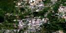
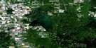
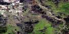
High Prairie Surrounding Area Aerial Photo Maps
 |
 |
 |
 |
 |
 |
 |
 |
 |
 |
 |
 |
 |
 |
 |
 |
© Department of Natural Resources Canada. All rights reserved.
High Prairie Gazetteer
The following places can be found on satellite image map 083N08 High Prairie:
High Prairie Satellite Image: Capes
Shaw PointHigh Prairie Satellite Image: Geographical areas
Lesser Slave Lake SettlementHigh Prairie Satellite Image: Indian Reserves
Sucker Creek 150AHigh Prairie Satellite Image: Lakes
Lesser Slave LakeHigh Prairie Satellite Image: Mountains
Little MountainHigh Prairie Satellite Image: Major municipal/district area - major agglomerations
Municipal District of Big Lakes No. 125High Prairie Satellite Image: Other municipal/district area - miscellaneous
Improvement District No. 125Improvement District No. 17
High Prairie Satellite Image: Conservation areas
Hilliard's Bay Provincial ParkHigh Prairie Satellite Image: Rivers
Arcadia CreekDevil Creek
East Prairie River
Mud Creek
Sucker Creek
Travers Creek
Traverse Creek
West Prairie River
High Prairie Satellite Image: Towns
High PrairieHigh Prairie Satellite Image: Unincorporated areas
ArcadiaEast Prairie Metis Colony No. 4
East Prairie Metis Settlement
Enilda
© Department of Natural Resources Canada. All rights reserved.
083N Related Maps:
083N Winagami083N01 Bellrose Lake
083N02 Snipe Lake
083N03 Valleyview
083N04 Sturgeon Heights
083N05 Puskwaskau River
083N06 Whitemud Creek
083N07 Triangle
083N08 High Prairie
083N09 Grouard
083N10 Mclennan
083N11 Donnelly
083N12 Watino
083N13 Tangent
083N14 Lac Magloire
083N15 Frank Lake
083N16 Pentland Lake
