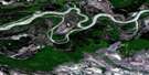
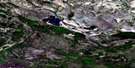
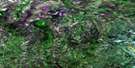
Ruis Lake Satellite Image Map
Download Free Aerial Photo 084I05 at 1:50,000 scale
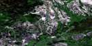
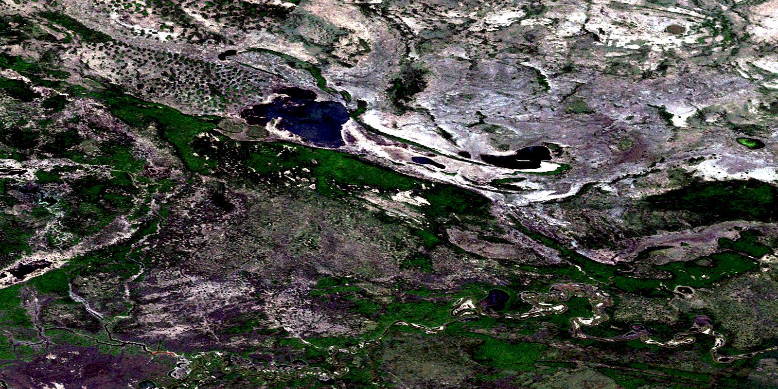
Ruis Lake Satellite Imagery
To view this satellite map, mouse over the air photo on the right.
You can also download this satellite image map for free:
084I05 Ruis Lake high-resolution satellite image map.
Maps for the Ruis Lake aerial map sheet 084I05 at 1:50,000 scale are also available in these versions:
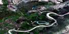
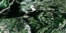
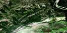
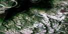
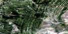
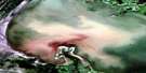
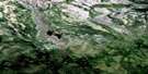
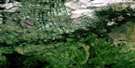
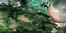
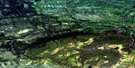
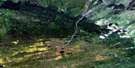
Ruis Lake Surrounding Area Aerial Photo Maps
 |
 |
 |
 |
 |
 |
 |
 |
 |
 |
 |
 |
 |
 |
 |
 |
© Department of Natural Resources Canada. All rights reserved.
Ruis Lake Gazetteer
The following places can be found on satellite image map 084I05 Ruis Lake:
Ruis Lake Satellite Image: Lakes
Mink LakeRuis Lake
Ruis Lake Satellite Image: Major municipal/district area - major agglomerations
Municipal District of Mackenzie No. 23Specialized Municipality of Mackenzie No. 23
Ruis Lake Satellite Image: Other municipal/district area - miscellaneous
Improvement District No. 24Ruis Lake Satellite Image: Conservation areas
Parc national du Canada Wood BuffaloWood Buffalo National Park of Canada
Ruis Lake Satellite Image: Rivers
Birch RiverBolton Creek
Harper Creek
Ruis Creek
© Department of Natural Resources Canada. All rights reserved.
084I Related Maps:
084I Lake Claire084I01 Clayton Lake
084I02 Elk Lake
084I03 Peel Creek
084I04 Edra Creek
084I05 Ruis Lake
084I06 Lake Dene
084I07 Heron Island
084I08 Pointe De Roche
084I09 Spruce Point
084I10 French Lake
084I11 Stovel Lake
084I12 Buchanan Lake
084I13 Trident Creek
084I14 Big Slough
084I15 Jackfish River
084I16 Point Providence
