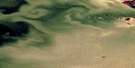
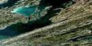
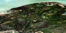
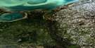
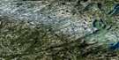
Caribou Islands Satellite Image Map
Download Free Aerial Photo 085H14 at 1:50,000 scale
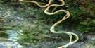
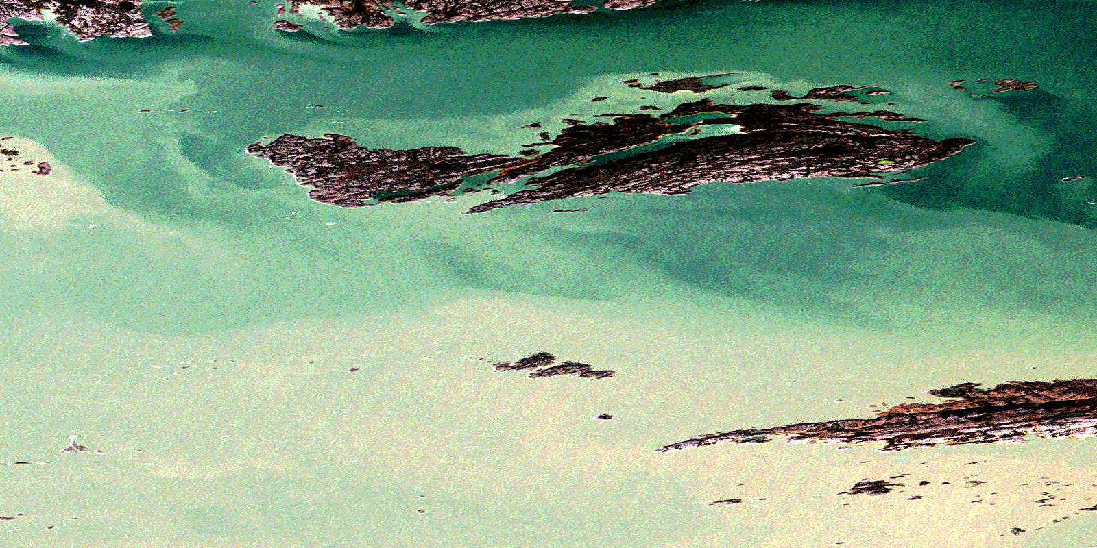
Caribou Islands Satellite Imagery
To view this satellite map, mouse over the air photo on the right.
You can also download this satellite image map for free:
085H14 Caribou Islands high-resolution satellite image map.
Maps for the Caribou Islands aerial map sheet 085H14 at 1:50,000 scale are also available in these versions:
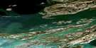
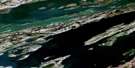
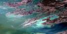
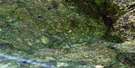
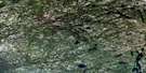
Caribou Islands Surrounding Area Aerial Photo Maps
 |
 |
 |
 |
 |
 |
 |
|
 |
 |
 |
 |
 |
 |
 |
 |
© Department of Natural Resources Canada. All rights reserved.
Caribou Islands Gazetteer
The following places can be found on satellite image map 085H14 Caribou Islands:
Caribou Islands Satellite Image: Bays
Campbell BayCaribou Islands Satellite Image: Channels
Hearne ChannelCaribou Islands Satellite Image: Islands
Caribou IslandsHarris Island
Iles Basses
Iles du Large
Jackson Islands
Wilson Island
Caribou Islands Satellite Image: Lakes
Grand lac des EsclavesGreat Slave Lake
© Department of Natural Resources Canada. All rights reserved.
085H Related Maps:
085H Fort Resolution085H01 No Title
085H02 Rat River
085H03 Mcconnell Island
085H04 Resolution Bay
085H05 Resdelta Channel
085H06 Stony Island
085H07 Rocher River
085H08 Thubun River
085H09E Preble Island
085H09W Preble Island
085H10E Petitot Islands
085H10W Petitot Islands
085H11E Iles Du Goulet
085H11W Iles Du Goulet
085H13 Whaleback Rocks
085H14E Caribou Islands
085H14W Caribou Islands
085H15E Wilson Island
085H15W Wilson Island
085H16E Hornby Channel
085H16W Hornby Channel
