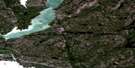
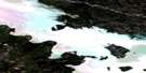
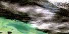
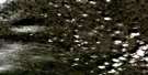
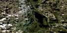
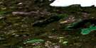
Quyta Lake Satellite Image Map
Download Free Aerial Photo 085J16 at 1:50,000 scale
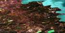
Quyta Lake Satellite Imagery
To view this satellite map, mouse over the air photo on the right.
You can also download this satellite image map for free:
085J16 Quyta Lake high-resolution satellite image map.
Maps for the Quyta Lake aerial map sheet 085J16 at 1:50,000 scale are also available in these versions:
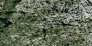
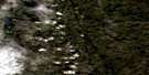
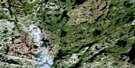
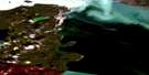
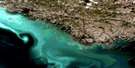
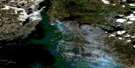
Quyta Lake Surrounding Area Aerial Photo Maps
 |
 |
 |
 |
 |
 |
 |
 |
 |
 |
 |
 |
 |
 |
 |
 |
© Department of Natural Resources Canada. All rights reserved.
Quyta Lake Gazetteer
The following places can be found on satellite image map 085J16 Quyta Lake:
Quyta Lake Satellite Image: Bays
Fishback LakeQuyta Lake Satellite Image: Lakes
Angle LakeAnton Lake
Bell Lake
Caribou Lake
Clan Lake
Crapaud Lake
Discovery Lake
Drygeese Lake
Duncan Lake
Fox Lake
Hook Lake
Island Lake
Johnston Lake
Michel Lake
Moberly Lake
Moose Lake
Moreland Lake
Narcisse Lake
Neck Lake
Nelson Lake
Porridge Lake
Quyta Lake
Rocky Lake
Short Point Lake
Sito Lake
Sophia Lake
Trout Lake
Quyta Lake Satellite Image: Rivers
Yellowknife River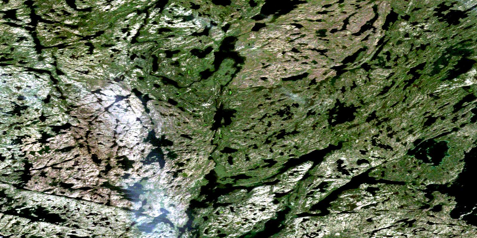
© Department of Natural Resources Canada. All rights reserved.
085J Related Maps:
085J Yellowknife085J01 Pilot Islands
085J02 Foam Point
085J03 Mciver Bay
085J04 Dessert Lake
085J05 Bras D'Or Lake
085J06 Old Fort Island
085J07 Ptarmigan Point
085J08 Yellowknife Bay
085J09 Prosperous Lake
085J10 Narcisse Lake
085J11 Trout Rock
085J12 Waite Island
085J13 Stagg River
085J14 Stagg Lake
085J15 Awry Lake
085J16 Quyta Lake
