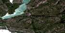
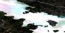
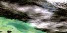
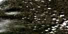
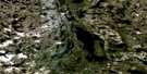
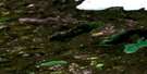
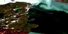
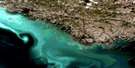
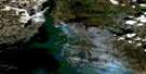
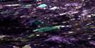
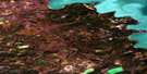
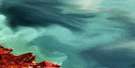
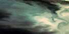
Yellowknife Bay Satellite Image Map
Download Free Aerial Photo 085J08 at 1:50,000 scale
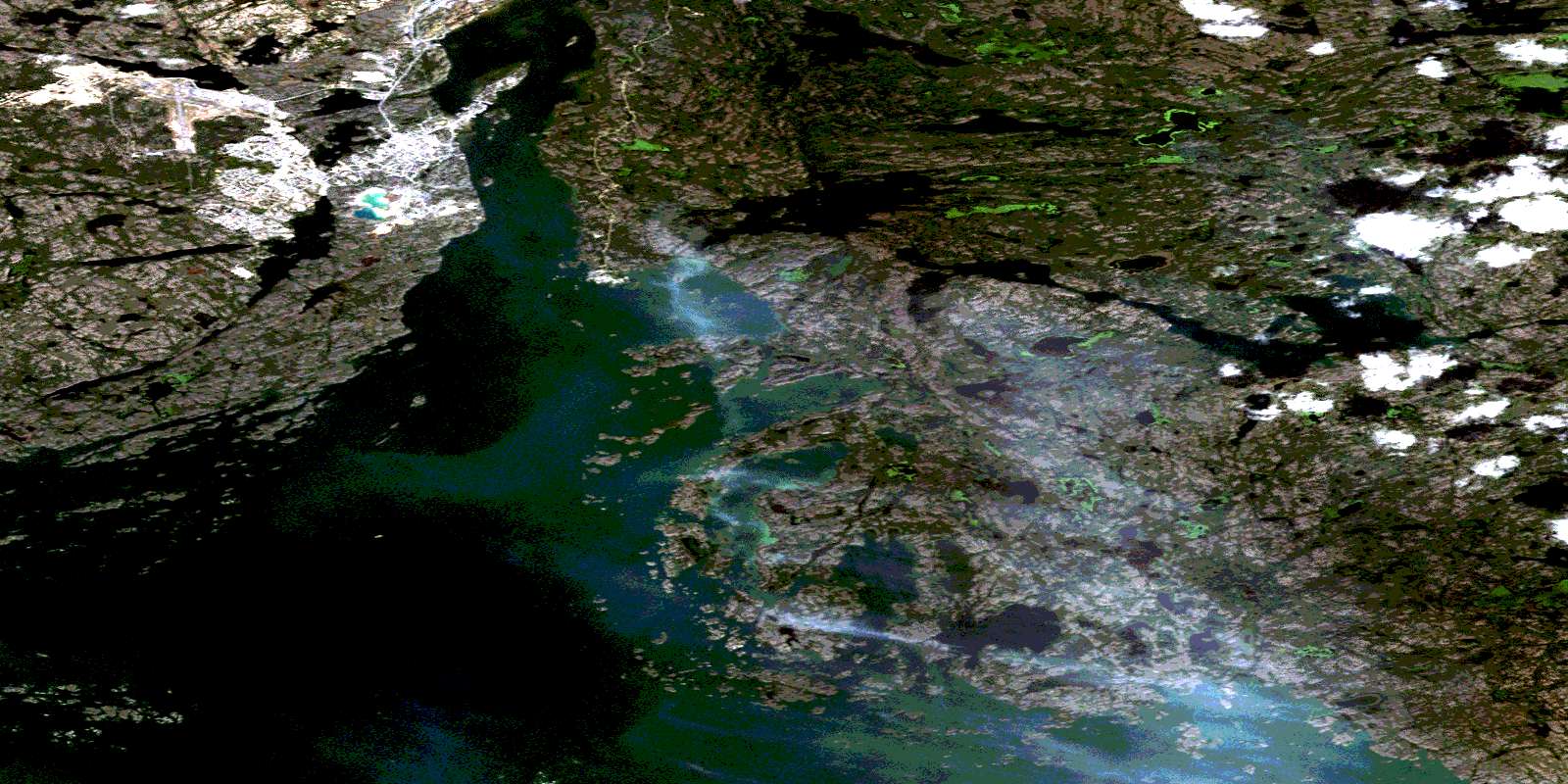
Yellowknife Bay Satellite Imagery
To view this satellite map, mouse over the air photo on the right.
You can also download this satellite image map for free:
085J08 Yellowknife Bay high-resolution satellite image map.
Maps for the Yellowknife Bay aerial map sheet 085J08 at 1:50,000 scale are also available in these versions:
Yellowknife Bay Surrounding Area Aerial Photo Maps
 |
 |
 |
 |
 |
 |
 |
 |
 |
 |
 |
 |
 |
 |
 |
 |
© Department of Natural Resources Canada. All rights reserved.
Yellowknife Bay Gazetteer
The following places can be found on satellite image map 085J08 Yellowknife Bay:
Yellowknife Bay Satellite Image: Bays
Akaitcho BayBack Bay
John Bay
North Arm
Wool Bay
Yellowknife Bay
Yellowknife Bay Satellite Image: Capes
Adoption PointBurwash Point
Kam Point
Negus Point
Village Point
Yellowknife Bay Satellite Image: Channels
The NarrowsYellowknife Bay Satellite Image: City
YellowknifeYellowknife Bay Satellite Image: Islands
Ace IslandEast Mirage Islands
H.M.C.S. Mackenzie Island
Horseshoe Island
Inner Island
Jolliffe Island
Latham Island
Lobstick Island
Mosher Island
Post Island
Rock Island
Ruth Island
Sub Islands
West Mirage Islands
Yellowknife Bay Satellite Image: Lakes
Bear LakeBighill Lake
Cliff Lake
Crank Lake
Creek Lake
Duck Lake
Egg Lake
Fault Lake
Fox Lake
Frame Lake
Grace Lake
Grand lac des Esclaves
Great Slave Lake
Handle Lake
Hay Lake
Island Lake
Jackfish Lake
Joe Lake
Kam Lake
Keg Lake
Long Lake
Mac Lake
Mason Lake
Meg Lake
Methane Lake
Moise Lake
Niven Lake
Octopus Lake
Peg Lake
Preg Lake
Pud Lake
Range Lake
Rat Lake
Rib Lake
Stock Lake
Stuart Lake
Willow Lake
Yellowknife Bay Satellite Image: Mountains
Tin Can HillYellowknife Bay Satellite Image: Rivers
Baker CreekYellowknife Bay Satellite Image: Unincorporated areas
DetahForrest Park
Frame Lake South
Matonnabee
Ndìlo
Old Fort Providence
Old Town
Peace River Flats
Range Lake North
School Draw
Willow Flats
Yellowknife Bay Satellite Image: Valleys
Jackfish DrawSchool Draw
© Department of Natural Resources Canada. All rights reserved.
085J Related Maps:
085J Yellowknife085J01 Pilot Islands
085J02 Foam Point
085J03 Mciver Bay
085J04 Dessert Lake
085J05 Bras D'Or Lake
085J06 Old Fort Island
085J07 Ptarmigan Point
085J08 Yellowknife Bay
085J09 Prosperous Lake
085J10 Narcisse Lake
085J11 Trout Rock
085J12 Waite Island
085J13 Stagg River
085J14 Stagg Lake
085J15 Awry Lake
085J16 Quyta Lake
