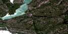
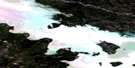
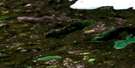
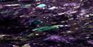
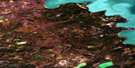
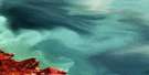
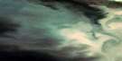
Prosperous Lake Satellite Image Map
Download Free Aerial Photo 085J09 at 1:50,000 scale
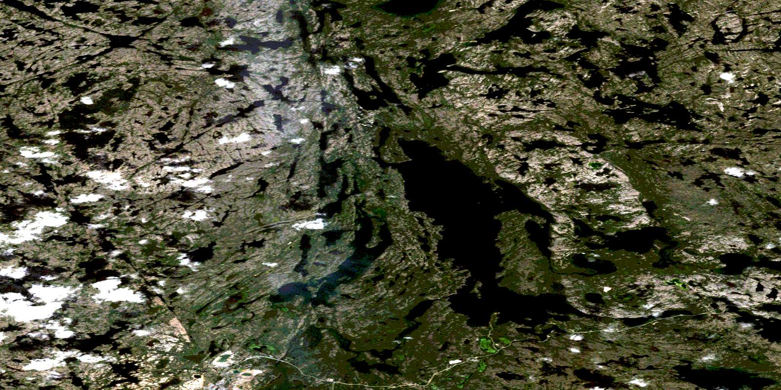
Prosperous Lake Satellite Imagery
To view this satellite map, mouse over the air photo on the right.
You can also download this satellite image map for free:
085J09 Prosperous Lake high-resolution satellite image map.
Maps for the Prosperous Lake aerial map sheet 085J09 at 1:50,000 scale are also available in these versions:
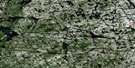
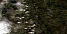
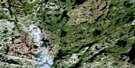
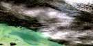
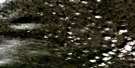
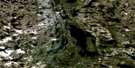
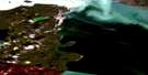
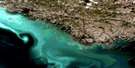
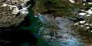
Prosperous Lake Surrounding Area Aerial Photo Maps
 |
 |
 |
 |
 |
 |
 |
 |
 |
 |
 |
 |
 |
 |
 |
 |
© Department of Natural Resources Canada. All rights reserved.
Prosperous Lake Gazetteer
The following places can be found on satellite image map 085J09 Prosperous Lake:
Prosperous Lake Satellite Image: Bays
McMeekan BayYellowknife Bay
Prosperous Lake Satellite Image: Falls
Greyling FallsProsperous Lake Satellite Image: Islands
Cinnamon IslandHorseshoe Island
Jolliffe Island
Mosher Island
Prosperous Lake Satellite Image: Lakes
Alexie LakeBanting Lake
Baptiste Lake
Beauregard Lake
Bighill Lake
Bluefish Lake
Bow Lake
Chan Lake
Chitty Lake
Daigle Lake
David Lake
Drygeese Lake
Duck Lake
Duckfish Lake
Fault Lake
Finger Lake
Fox Lake
Gar Lake
Gold Lake
Grand lac des Esclaves
Great Slave Lake
Greyling Lake
Hay Lake
Homer Lake
Island Lake
Jackson Lake
Landing Lake
Likely Lake
Madeline Lake
Martin Lake
Milner Lake
Moose Lake
Narcisse Lake
One Arm Lake
Oro Lake
Pontoon Lake
Porridge Lake
Prelude Lake
Prosperous Lake
Quyta Lake
Rater Lake
River Lake
Ryan Lake
Shadow Lake
Short Point Lake
Shot Lake
Staple Lake
Stock Lake
Tom Lake
Trapper Lake
Upper Walsh Lake
Vee Lake
Vital Lake
Walsh Lake
West Walsh Lake
Prosperous Lake Satellite Image: Mountains
Berry HillRanney Hill
Prosperous Lake Satellite Image: Rapids
Tartan RapidsProsperous Lake Satellite Image: Rivers
Baker CreekCameron River
Yellowknife River
© Department of Natural Resources Canada. All rights reserved.
085J Related Maps:
085J Yellowknife085J01 Pilot Islands
085J02 Foam Point
085J03 Mciver Bay
085J04 Dessert Lake
085J05 Bras D'Or Lake
085J06 Old Fort Island
085J07 Ptarmigan Point
085J08 Yellowknife Bay
085J09 Prosperous Lake
085J10 Narcisse Lake
085J11 Trout Rock
085J12 Waite Island
085J13 Stagg River
085J14 Stagg Lake
085J15 Awry Lake
085J16 Quyta Lake
