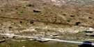
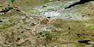
Anderson Creek Satellite Image Map
Download Free Aerial Photo 086N04 at 1:50,000 scale
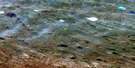
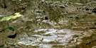
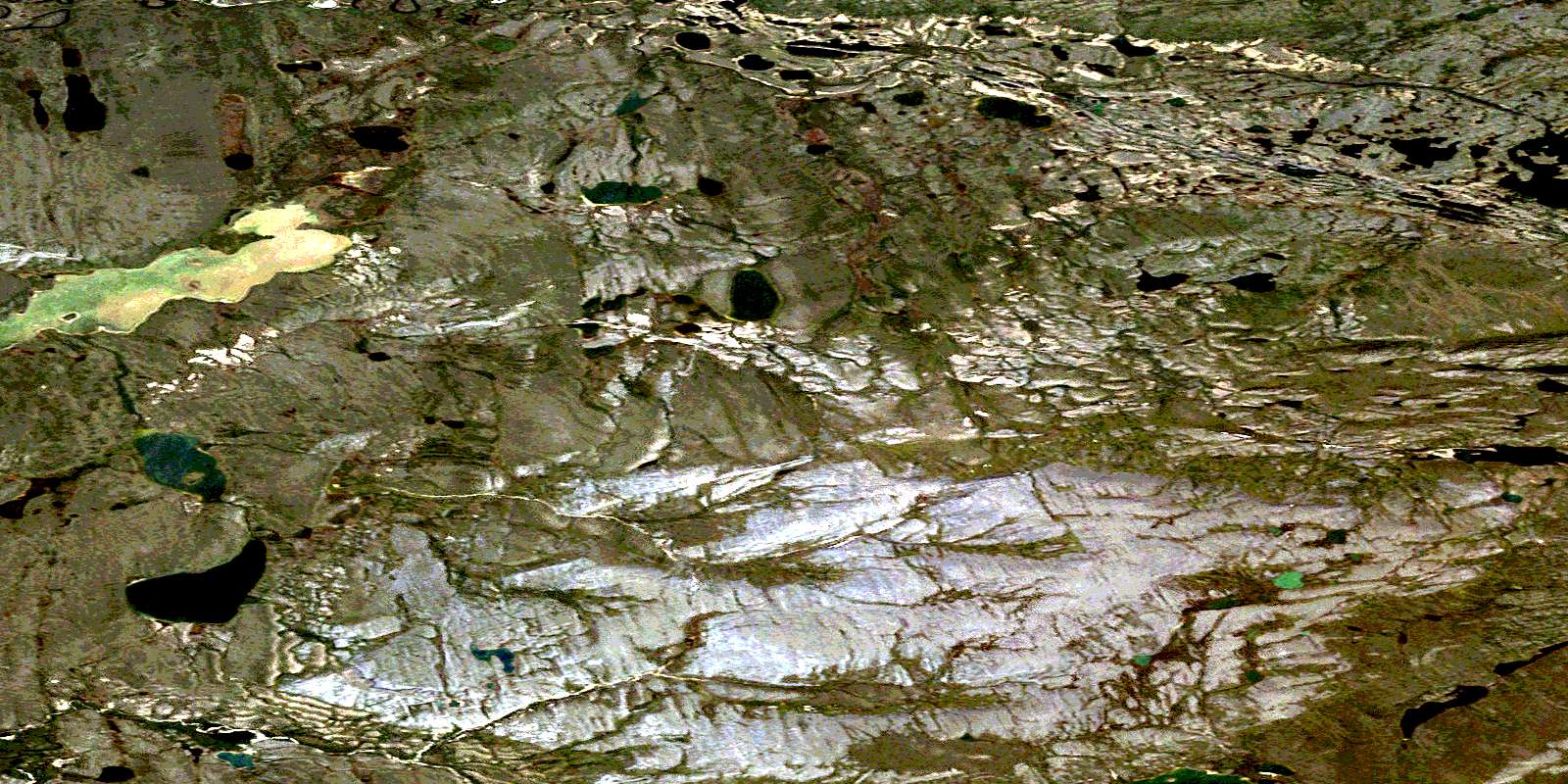
Anderson Creek Satellite Imagery
To view this satellite map, mouse over the air photo on the right.
You can also download this satellite image map for free:
086N04 Anderson Creek high-resolution satellite image map.
Maps for the Anderson Creek aerial map sheet 086N04 at 1:50,000 scale are also available in these versions:
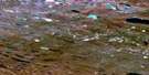
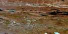
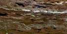
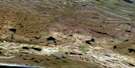
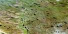
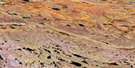
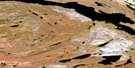
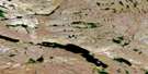
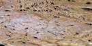
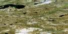
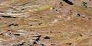
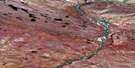
Anderson Creek Surrounding Area Aerial Photo Maps
 |
 |
 |
 |
 |
 |
 |
 |
 |
 |
 |
 |
 |
 |
 |
 |
© Department of Natural Resources Canada. All rights reserved.
Anderson Creek Gazetteer
The following places can be found on satellite image map 086N04 Anderson Creek:
Anderson Creek Satellite Image: Lakes
Lac Le RouxLac Rouvière
Anderson Creek Satellite Image: Rivers
Anderson CreekDease River
Dease River
East River
Tahiapik River
Teshierpi River
© Department of Natural Resources Canada. All rights reserved.
086N Related Maps:
086N Dismal Lakes086N01 Rocky Defile Rapids
086N02 No Title
086N03 Lac Rouviere
086N04 Anderson Creek
086N05 Hanbury Kopje
086N06 Mountain Lake
086N07 Teshierpi Mountain
086N08 Tuktuvak Lake
086N09 No Title
086N10 Bornite Lake
086N11 Impact Lake
086N12 No Title
086N13 No Title
086N14 No Title
086N15 Cox Lake
086N16 No Title
