Ucluelet Satellite Image Map
Download Free Aerial Photo 092C13 at 1:50,000 scale
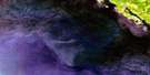
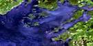
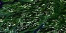
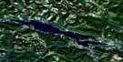
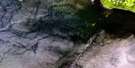
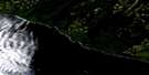
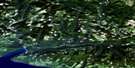
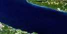
Ucluelet Satellite Imagery
To view this satellite map, mouse over the air photo on the right.
You can also download this satellite image map for free:
092C13 Ucluelet high-resolution satellite image map.
Maps for the Ucluelet aerial map sheet 092C13 at 1:50,000 scale are also available in these versions:
Ucluelet Surrounding Area Aerial Photo Maps
 |
 |
 |
 |
 |
 |
 |
|
 |
|||
© Department of Natural Resources Canada. All rights reserved.
Ucluelet Gazetteer
The following places can be found on satellite image map 092C13 Ucluelet:
Ucluelet Satellite Image: Bays
Florencia BayLong Bay
Spring Cove
Stewart Bay
Stuart Bay
Ucluelet Inlet
Wickaninnish Bay
Ucluelet Satellite Image: Capes
Amphitrite PointEsowista Peninsula
Low Peninsula
Quisitis Point
Ucluth Peninsula
Wya Point
Ucluelet Satellite Image: Channels
Alpha PassageCarolina Channel
David Channel
Felice Channel
Macoah Passage
Newcombe Channel
Ship Channel
Ugly Channel
Ucluelet Satellite Image: District municipality
UclueletUcluelet Satellite Image: Indian Reserves
Clakamucus Indian Reserve 2Dookqua Indian Reserve 5
Dookqua Indian Reserve 5A
Ittatsoo Indian Reserve 1
Oo-oolth Indian Reserve 8
Réserve indienne Clakamucus 2
Réserve indienne Dookqua 5
Réserve indienne Dookqua 5A
Réserve indienne Ittatsoo 1
Réserve indienne Oo-oolth 8
Réserve indienne Stuart Bay 6
Réserve indienne Ucluth 6
Réserve indienne Wya 7
Stuart Bay Indian Reserve 6
Ucluth Indian Reserve 6
Wya Indian Reserve 7
Ucluelet Satellite Image: Islands
Beg IslandBeg Islands
Channel Island
Florencia Islet
Francis Island
George Fraser Islands
Hyphocus Island
Île de Vancouver
Janson Island
Kvarno Island
Lookout Island
Lyche Island
Native Islet
North Island
Shelter Islands
Vancouver Island
Ucluelet Satellite Image: Lakes
Itatsoo LakeMercer Lake
Ucluelet Satellite Image: Mountains
Vancouver Island MountainsVancouver Island Ranges
Ucluelet Satellite Image: Major municipal/district area - major agglomerations
Regional District of Alberni-ClayoquotUcluelet Satellite Image: Conservation areas
Pacific Rim National Park Reserve of CanadaRéserve de parc national du Canada Pacific Rim
Ucluelet Satellite Image: Rivers
East Smith CreekItatsoo Creek
Lost Shoe Creek
Mercantile Creek
Smith Creek
Thornton Creek
Ucluelet Satellite Image: Shoals
Centre ReefHumphries Reef
Jenny Reef
La Pérouse Bank
Native Rock
Sutton Rock
Ucluelet Satellite Image: Unincorporated areas
Port Albion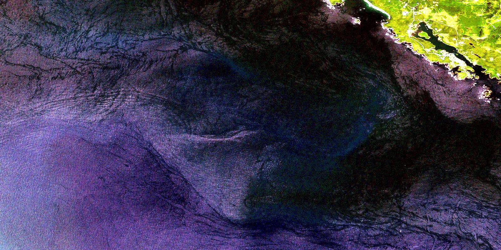
© Department of Natural Resources Canada. All rights reserved.
