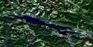
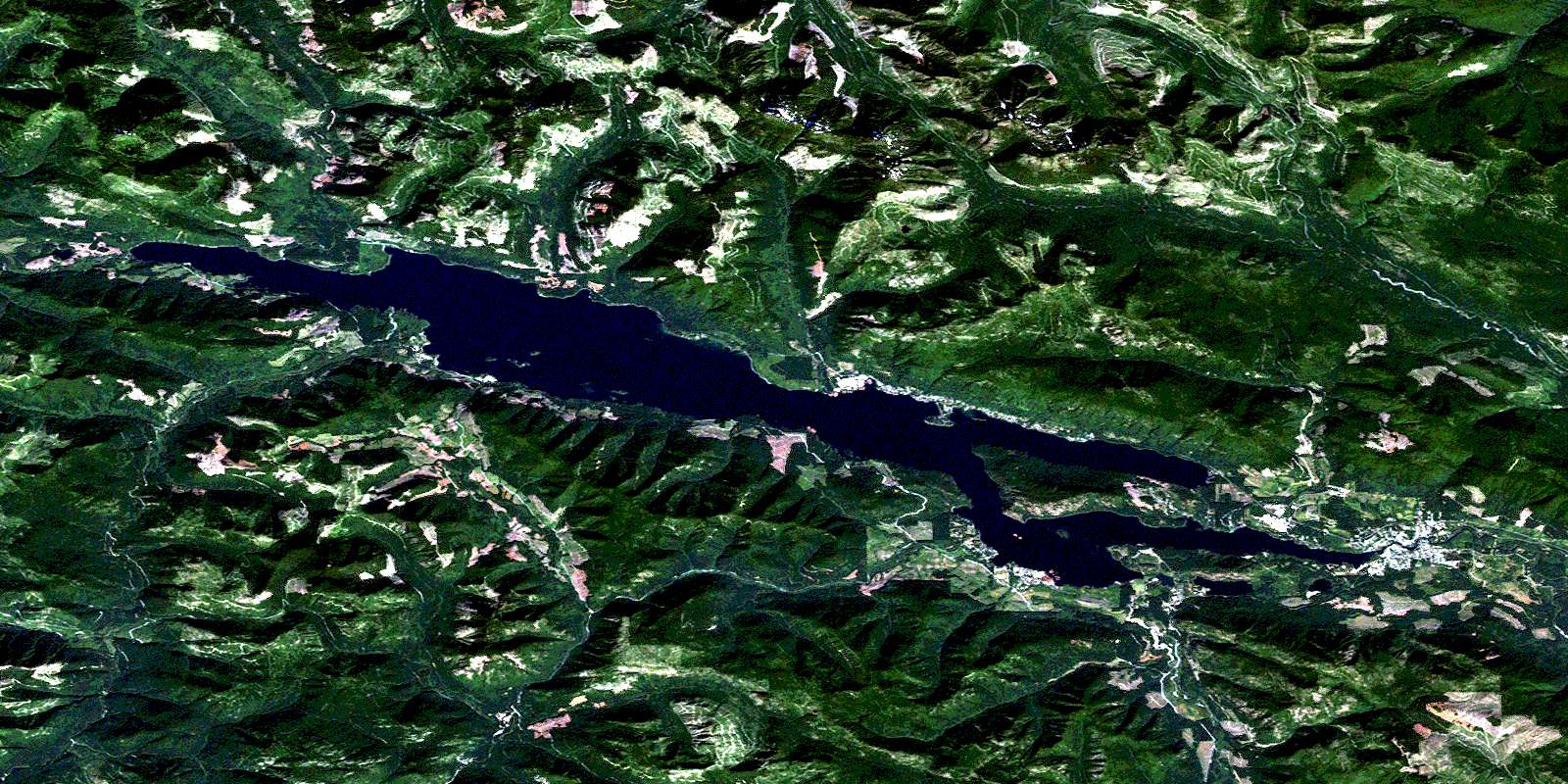
Cowichan Lake Satellite Image Map
Download Free Aerial Photo 092C16 at 1:50,000 scale
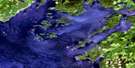
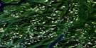
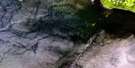
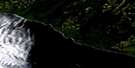
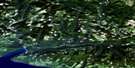
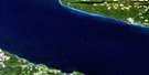
Cowichan Lake Satellite Imagery
To view this satellite map, mouse over the air photo on the right.
You can also download this satellite image map for free:
092C16 Cowichan Lake high-resolution satellite image map.
Maps for the Cowichan Lake aerial map sheet 092C16 at 1:50,000 scale are also available in these versions:
Cowichan Lake Surrounding Area Aerial Photo Maps
 |
 |
 |
 |
 |
 |
 |
|
 |
|||
© Department of Natural Resources Canada. All rights reserved.
Cowichan Lake Gazetteer
The following places can be found on satellite image map 092C16 Cowichan Lake:
Cowichan Lake Satellite Image: Bays
Gordon BayHoneymoon Bay
Marble Bay
McKenzie Bay
North Arm
Cowichan Lake Satellite Image: Geographical areas
Cowichan Lake Land DistrictCowichan Lake Satellite Image: Indian Reserves
Cowichan Lake Indian ReserveRéserve indienne Cowichan Lake
Cowichan Lake Satellite Image: Islands
Goat IslandÎle de Vancouver
Vancouver Island
Cowichan Lake Satellite Image: Lakes
Bear LakeBeaver Lake
Cowichan Lake
Delphi Lake
Fairservice Lake
Gillespie Lake
Grant Lake
Heather Lake
Kissinger Lake
Kwassin Lake
Lomas Lake
May Lake
McClure Lake
Mesachie Lake
Rheinhart Lake
Sherk Lake
Cowichan Lake Satellite Image: Mountains
Bald MountainEl Capitan Mountain
Heather Mountain
Hill 60 Ridge
Mount Buttle
Mount Franklin
Mount Franklyn
Mount Good
Mount Holmes
Mount Landale
Mount Landalt
Mount Service
Mount Sutton
Mount Vernon
Mount Whymper
Seymour Range
Seymour Ridge
Towincut Mountain
Vancouver Island Mountains
Vancouver Island Ranges
Cowichan Lake Satellite Image: Major municipal/district area - major agglomerations
Cowichan Valley Regional DistrictCowichan Lake Satellite Image: Conservation areas
Gordon Bay ParkLakeview Park
Nitinat River Park
Cowichan Lake Satellite Image: Rivers
Ashburnham CreekBeaver Creek
Caycuse River
Chemainus River
Coonskin Creek
Cottonwood Creek
Cowichan River
Croft Creek
East Robertson River
Fairservice Creek
Golding Brook
Gordon River
Green Creek
Green River
Harrison Creek
Haslam Creek
Hauk Creek
Hinne Creek
Josiah Creek
Jump Creek
Loup Creek
March Creek
McKay Creek
Meade Creek
Millar Creek
Nanaimo River
Nineteen Creek
Nixon Creek
Oliver Creek
Raymond Creek
Redbed Creek
Reynard Creek
Rheinhart Creek
Robertson Creek
Robertson River
Shaw Creek
South Chemainus Creek
South Nanaimo River
Stanley Creek
Sutton Creek
Towincut Creek
Utility Creek
Vernon Creek
Wardroper Creek
Whisky-jack Creek
Widow Creek
Youbou Creek
Cowichan Lake Satellite Image: Towns
Lake CowichanCowichan Lake Satellite Image: Unincorporated areas
CaycuseGordon River
Honeymoon Bay
Mesachie Lake
Nitinat
Youbou
© Department of Natural Resources Canada. All rights reserved.
