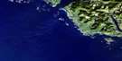
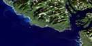
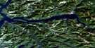
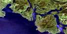
Estevan Point Satellite Image Map
Download Free Aerial Photo 092E07 at 1:50,000 scale
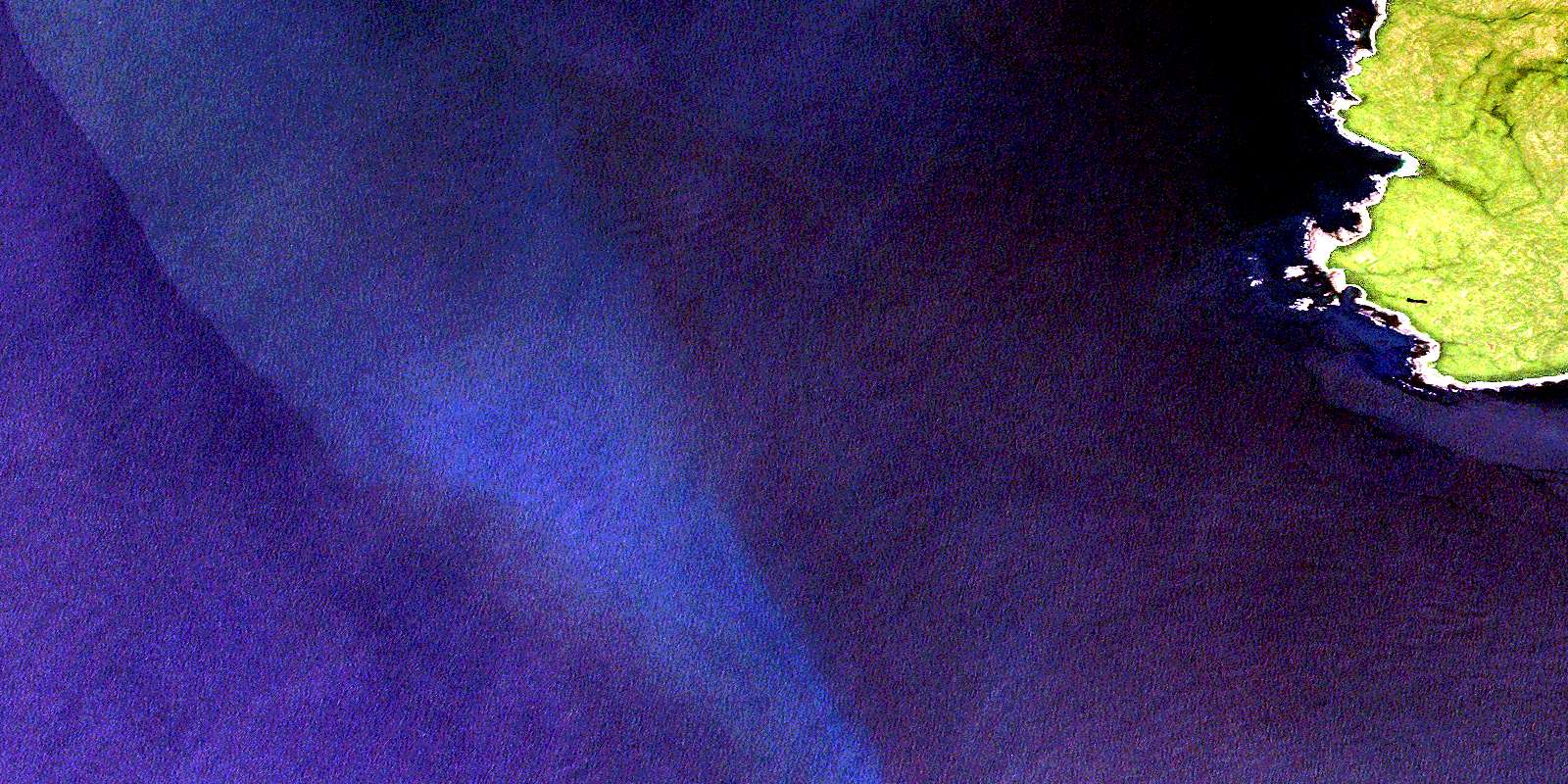
Estevan Point Satellite Imagery
To view this satellite map, mouse over the air photo on the right.
You can also download this satellite image map for free:
092E07 Estevan Point high-resolution satellite image map.
Maps for the Estevan Point aerial map sheet 092E07 at 1:50,000 scale are also available in these versions:
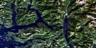
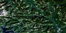
Estevan Point Surrounding Area Aerial Photo Maps
 |
 |
 |
|
 |
 |
||
 |
 |
||
 |
© Department of Natural Resources Canada. All rights reserved.
Estevan Point Gazetteer
The following places can be found on satellite image map 092E07 Estevan Point:
Estevan Point Satellite Image: Bays
Barcester BayHomais Cove
Homeis Cove
Mooyah Bay
Siwash Cove
Smokehouse Bay
Estevan Point Satellite Image: Capes
Antons SpitDagger Point
Estevan Point
Hesquiat Peninsula
Split Cape
Estevan Point Satellite Image: Indian Reserves
Homais Indian Reserve 2Réserve indienne Homais 2
Estevan Point Satellite Image: Islands
Île de VancouverVancouver Island
Estevan Point Satellite Image: Lakes
Alto LakeHisnit Lake
Ice Lake
Megin Lake
Sheila Lake
Shiela Lake
Village Lake
Estevan Point Satellite Image: Mountains
Mount BourkeMount Flores
Vancouver Island Ranges
Estevan Point Satellite Image: Major municipal/district area - major agglomerations
Regional District of Alberni-ClayoquotRegional District of Comox-Strathcona
Estevan Point Satellite Image: Conservation areas
Hesquiat Peninsula ParkEstevan Point Satellite Image: Rivers
Cow CreekPurdon Creek
Satchie Creek
Talbot Creek
Estevan Point Satellite Image: Shoals
Perez RocksEstevan Point Satellite Image: Unincorporated areas
Boat BasinEstevan Point
© Department of Natural Resources Canada. All rights reserved.
