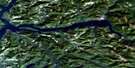
Port Eliza Satellite Image Map
Download Free Aerial Photo 092E14 at 1:50,000 scale
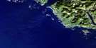
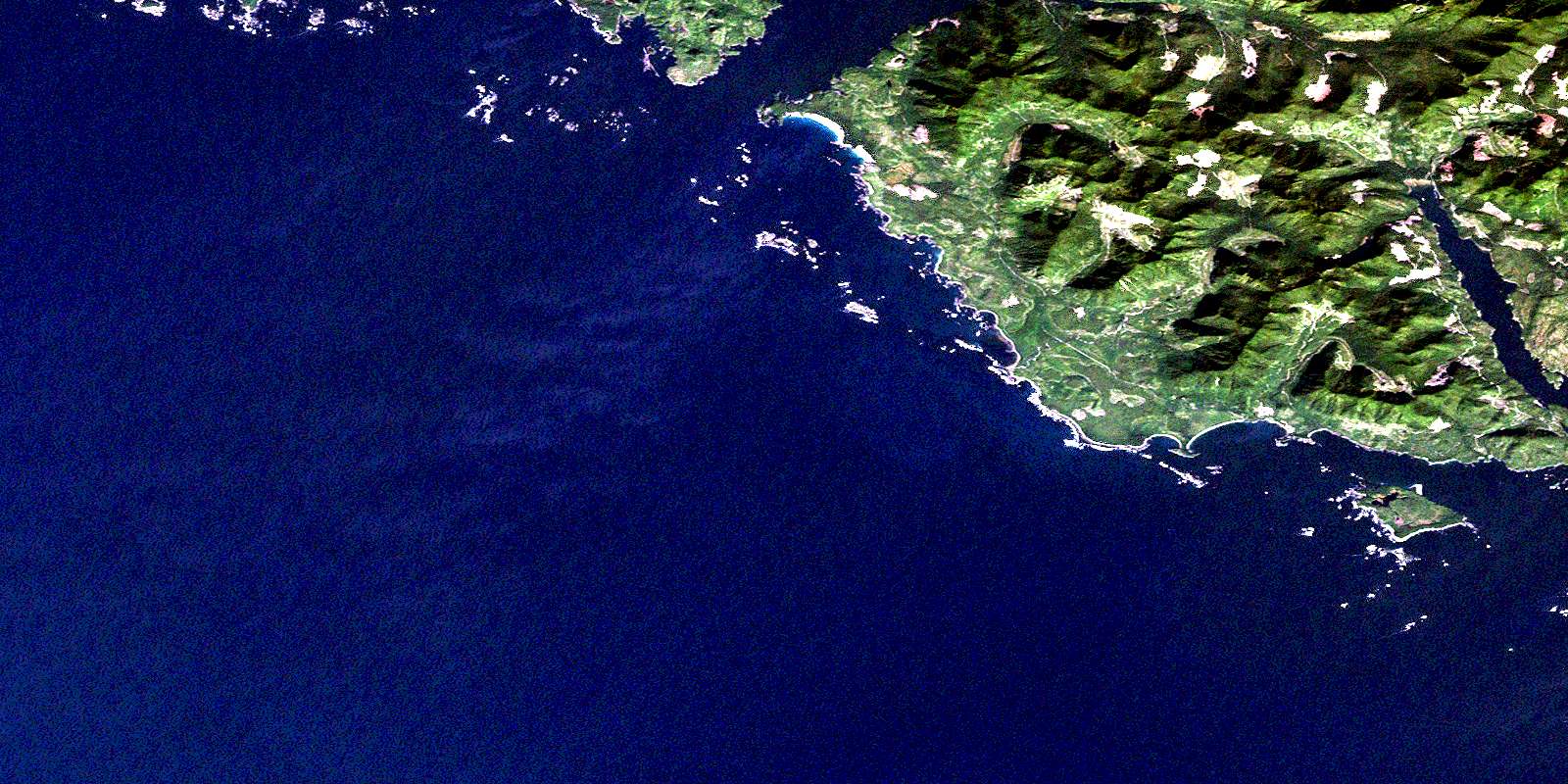
Port Eliza Satellite Imagery
To view this satellite map, mouse over the air photo on the right.
You can also download this satellite image map for free:
092E14 Port Eliza high-resolution satellite image map.
Maps for the Port Eliza aerial map sheet 092E14 at 1:50,000 scale are also available in these versions:
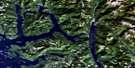
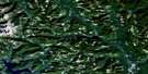
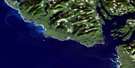
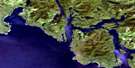
Port Eliza Surrounding Area Aerial Photo Maps
 |
 |
 |
|
 |
 |
||
 |
 |
||
 |
© Department of Natural Resources Canada. All rights reserved.
Port Eliza Gazetteer
The following places can be found on satellite image map 092E14 Port Eliza:
Port Eliza Satellite Image: Bays
Cachalot InletEsperanza Inlet
Kyuquot Bay
McLean Cove
Port Eliza
Rolling Roadstead
Volcanic Cove
Yellow Bluff Bay
Port Eliza Satellite Image: Capes
Alert PointBrecciated Point
Gregoire Point
Gross Point
Jurassic Point
Kapoose Point
Mushroom Point
Peculiar Point
Racoon Point
Robin Point
Rugged Point
Sandstone Point
Tatchu Point
White Cliff Head
Port Eliza Satellite Image: Channels
Brown ChannelClear Passage
Favourite Entrance
Gillam Channel
Kyuquot Channel
Kyuquot Sound
Nicolaye Channel
North Channel
Schooner Entrance
Port Eliza Satellite Image: Cliffs
Yellow BluffPort Eliza Satellite Image: Indian Reserves
Chiseuquis Indian Reserve 9Grassy Island Indian Reserve 17
Occosh Indian Reserve 8
Réserve indienne Chiseuquis 9
Réserve indienne Grassy Island 17
Réserve indienne Occosh 8
Réserve indienne Tatchu 13
Réserve indienne Tatchu 13A
Tatchu Indian Reserve 13
Tatchu Indian Reserve 13A
Port Eliza Satellite Image: Islands
Barrier IslandsCatala Island
Clark Island
Diver Islet
Eliza Island
Grassy Island
Highest Island
Île de Vancouver
Lookout Island
McQuarrie Islets
Mission Group
Moos Islet
Spring Island
The Twins
Thornton Islands
Twins Islands
Union Island
Vancouver Island
Volcanic Islets
Port Eliza Satellite Image: Mountains
Anvil PeakEliza Dome
Eliza Ears
Kyuquot Hill
Leading Hill
Newton Hill
Remarkable Cone
Ship Peak
Stone Nipples
Vancouver Island Ranges
Port Eliza Satellite Image: Major municipal/district area - major agglomerations
Regional District of Comox-StrathconaPort Eliza Satellite Image: Conservation areas
Catala Island Marine ParkRugged Point Marine Park
Rugged Point Park
Port Eliza Satellite Image: Rivers
Anvil CreekCachalot Creek
Eliza Creek
Kapoose Creek
Narrowgut Creek
Park River
Porritt Creek
Sandpiper Creek
Tatchu Creek
Port Eliza Satellite Image: Shoals
Arnold RockBlack Rock
Blind Reef
East Entrance Reef
Entrance Reef
Grogan Rock
Halftide Reef
High Rocks
Kapoose Rocks
Kate Rocks
Low Rock
Mid Rock
Middle Reef
Minx Rocks
Munsie Rocks
Nipple Rock
Nipple Rocks
Obstruction Reef
Outer Black Rock
Sail Rock
Tatchu Rocks
Twin Rocks
West Entrance Rock
West Rocks
White Rock
© Department of Natural Resources Canada. All rights reserved.
