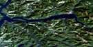
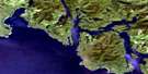
Nootka Satellite Image Map
Download Free Aerial Photo 092E10 at 1:50,000 scale
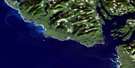
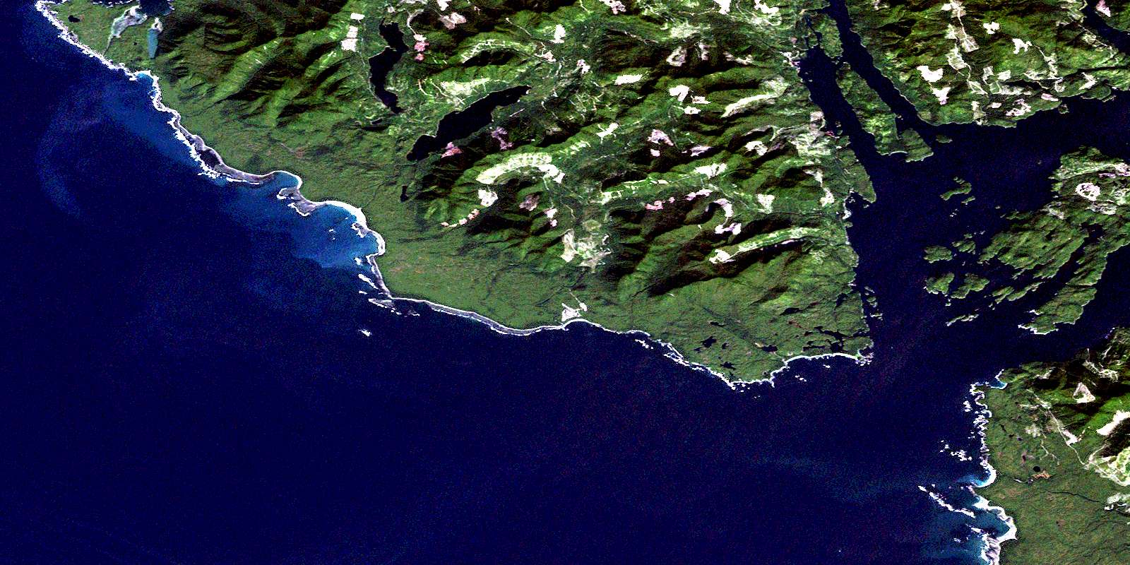
Nootka Satellite Imagery
To view this satellite map, mouse over the air photo on the right.
You can also download this satellite image map for free:
092E10 Nootka high-resolution satellite image map.
Maps for the Nootka aerial map sheet 092E10 at 1:50,000 scale are also available in these versions:
Nootka Surrounding Area Aerial Photo Maps
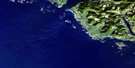 |
 |
 |
|
 |
 |
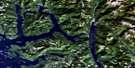
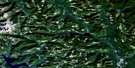
||
 |
 |
||
 |
© Department of Natural Resources Canada. All rights reserved.
Nootka Gazetteer
The following places can be found on satellite image map 092E10 Nootka:
Nootka Satellite Image: Bays
Boca del Infierno BayEwin Inlet
Friendly Cove
Hisnit Inlet
Jewitt Cove
Kendrick Inlet
Louie Bay
Marvinas Bay
Nootka Sound
Nuchatlitz Inlet
Plumper Harbour
Resolution Cove
Santa Gertrudis Cove
Skuna Bay
Tahsis Inlet
Tlupana Arm
Tlupana Inlet
Nootka Satellite Image: Beaches
Third BeachNootka Satellite Image: Capes
Bajo PointBoston Point
Burdwood Point
Clerke Peninsula
Coopte Point
Discovery Point
Escalante Point
Ferrer Point
Hoiss Point
Maquinna Point
Salter Point
San Carlos Point
Tongue Point
Yuquot Point
Nootka Satellite Image: Channels
Cook ChannelEliza Passage
Fidalgo Passage
Hanna Channel
McKay Passage
Princesa Channel
Zuciarte Channel
Nootka Satellite Image: Indian Reserves
Aass Indian Reserve 3Coopte Indian Reserve 9
Hisnit Indian Reserve 7
Hoiss Indian Reserve 8
Réserve indienne Aass 3
Réserve indienne Coopte 9
Réserve indienne Hisnit 7
Réserve indienne Hoiss 8
Réserve indienne Tsarksis 2
Réserve indienne Yuquot 1
Tsarksis Indian Reserve 2
Yuquot Indian Reserve 1
Nootka Satellite Image: Islands
Bligh IslandBodega Island
Bold Island
Canal Island
Centre Islands
Clotchman Island
Escalante Island
Funter Island
Île de Vancouver
Matute Island
Narrow Island
Narvaez Island
Nootka Island
Pantoja Islands
Pass Island
Saavedra Islands
San Miguel Islands
San Rafael Island
Spanish Pilot Group
Spouter Island
Strange Island
Vancouver Island
Verdia Island
Vernaci Island
Villaverde Islands
Nootka Satellite Image: Lakes
AllmanLagoonCherry Lake
Crawfish Lake
Ewart Lake
Hoiss Lake
Nootka Satellite Image: Mountains
Bight ConeGenevieve Mountains
Genevieve Range
James Cone
Mount Bauke
Mount Lombard
Mount Walker
Nootka Cone
North West Cone
Northwest Cone
Santa Cruz de Nuca Mountain
Vancouver Island Ranges
Nootka Satellite Image: Major municipal/district area - major agglomerations
Regional District of Alberni-ClayoquotRegional District of Comox-Strathcona
Nootka Satellite Image: Conservation areas
Bligh Island Marine ParkSanta Gertrudis-Boca del Infierno Park
Santa-Boca Park
Nootka Satellite Image: Rivers
Bajo CreekBeano Creek
Bight Creek
Calipeen Creek
Callicum Creek
Calvin Creek
Cherry Creek
Cox Creek
Deserted Creek
Escalante River
Ewart Creek
Ewin Creek
Gunpowder Creek
Hoiss Creek
Kendrick Creek
Musket Creek
Nootka Satellite Image: Shoals
Bajo ReefEscalante Rocks
Inner Bajo Reef
Nootka Satellite Image: Unincorporated areas
Kendrick CampNootka
Plumper Harbour
Yuquot
© Department of Natural Resources Canada. All rights reserved.
