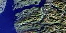
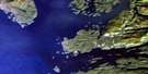
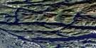
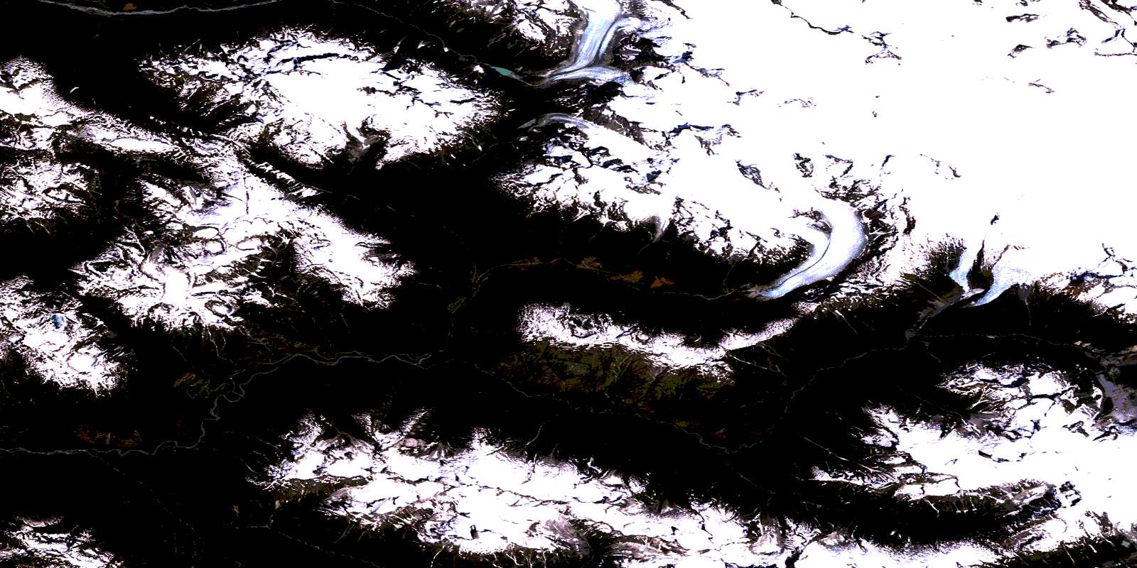
Sheemahant River Satellite Image Map
Download Free Aerial Photo 092M16 at 1:50,000 scale
Sheemahant River Satellite Imagery
To view this satellite map, mouse over the air photo on the right.
You can also download this satellite image map for free:
092M16 Sheemahant River high-resolution satellite image map.
Maps for the Sheemahant River aerial map sheet 092M16 at 1:50,000 scale are also available in these versions:
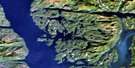
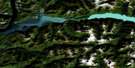
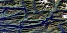
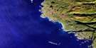
Sheemahant River Surrounding Area Aerial Photo Maps
 |
 |
 |
 |
 |
 |
 |
 |
 |
 |
 |
 |
 |
 |
 |
 |
© Department of Natural Resources Canada. All rights reserved.
Sheemahant River Gazetteer
The following places can be found on satellite image map 092M16 Sheemahant River:
Sheemahant River Satellite Image: Glaciers
Crystal GlacierJacobsen Glacier
Monarch Icefield
Princess Glacier
Sumquolt Glacier
Talchako Glacier
Taleomey Glacier
Sheemahant River Satellite Image: Islands
Rupert IslandSheemahant River Satellite Image: Lakes
Washwash LakeSheemahant River Satellite Image: Mountains
Basin PeakCerberus Mountain
Chaîne Côtière
Chili Tower
Coast Mountains
Dagon Mountain
Erehwon Mountain
Geryon Mountain
Half Dome
Mount Bohnet
Mount Butterick
Mount Calloway
Mount Dagon
Mount Daunt
Mount Elfrida
Mount Foss
Mount Geryon
Mount Haslett
Mount Learn
Mount Loretto
Mount McCreath
Mount Narhonyk
Mount Navey
Mount Sawitsky
Mount Sciron
Mount Vallillee
Obstreperous Ridge
Pacific Ranges
Sciron Mountain
Tzintli Peak
Sheemahant River Satellite Image: Major municipal/district area - major agglomerations
Central Coast Regional DistrictSheemahant River Satellite Image: Rivers
Hilder CreekHyclamus Creek
Lemolo Creek
Machmell River
Marvel Creek
Nahornyk Creek
Sheemahant River
Sumquolt Creek
Taleomey River
Washwash River
© Department of Natural Resources Canada. All rights reserved.
092M Related Maps:
092M Rivers Inlet092M01 Atwaykellesse River
092M02 Seymour Inlet
092M03 Belize Inlet
092M04 Cape Caution
092M05 Goose Bay
092M06 Smith Inlet
092M07 Mount Philley
092M08 Catto Creek
092M09 Machmell River
092M10 Owikeno Lake
092M11 Rivers Inlet
092M12 Fish Egg Inlet
092M13 Namu
092M14 Kilbella River
092M15 Tzeo River
092M16 Sheemahant River
